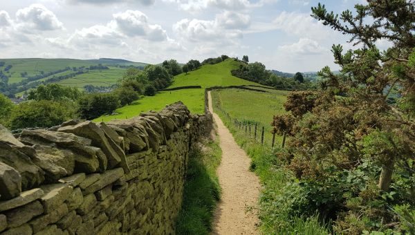
The Definitive Map
The origins and purpose of the Definitive Map

What is the Definitive Map
The Definitive Map is the legal record of public rights of way in England and Wales. In law it is the definitive record of where rights of way are located. Each right of way also has a written description known as the definitive statement. The Definitive Map and statement are kept and updated by each county council or unitary authority.
Creation of the Definitive Map
The Definitive Map came into being in the aftermath of World War 2. With concerns around paths being unrecorded, in 1947 the Hobhouse Committee on Footpaths and Access to the Countryside recommended that “an authoritative record of rights of way … be prepared before it is too late”.
The result was a provision in the National Parks and Access to the Countryside Act 1949 which set up the procedures for compiling maps and giving county councils the duty to create the Definitive Map. At the time, some towns and cities including London were exempt.
These days only the inner London boroughs are exempt.
The national survey
The county councils organised a national survey, working with parish and district councils to obtain local information. Each council organised its own meetings and considered which paths and tracks should be recorded.
Volunteers from the Ramblers and other organisations worked alongside the councils to assist with the process. The county councils then prepared the map in three stages: draft, provisional and definitive.
Managing objections
There followed the opportunity for representations and objections by the public or landowners about paths which were included or excluded. Landowners who disputed the routes on the provisional map had a final right of appeal to quarter sessions (now the Crown Court). The final result was the Definitive Map.
The legal status of the Definitive Map
The National Parks and Access to the Countryside Act 1949 made the definitive map “conclusive evidence”. This means the map can be produced as evidence in court making it very valuable. For example, if somebody went to court about an obstruction on a public right of way, the only evidence of the right of way's existence required by the court would be a copy of the Definitive Map and statement.
Adding paths to the Definitive Map
Originally the Definitive Map and statement had to be revised periodically, to allow for new paths to be added. Underfunding meant this rarely happened satisfactorily. Finally, the Wildlife and Countryside Act 1981 removed the periodic review and gave the surveying authorities the duty to keep the Definitive Map under “continuous review”. It added a very useful provision (lobbied for by the Ramblers) enabling anyone with the appropriate evidence to apply for a path to be added. The evidence used to get a path onto the map can be proof of long term use by the public. Alternatively old documents can be used to show that the path was known to be public in the past.
Don’t Lose Your Way - putting paths back on the map
In 2020, thousands of people took part in our Don’t Lose Your Way project to help find 49,000 miles of lost paths across England and Wales. Many of these paths had been in use for centuries. They are part of our history and heritage. But at some point in the past, their use ceased, for whatever reason, so they were not recorded on the Definitive Map, which means they are not legally protected. Without action, our right to access these paths could be lost forever.
We’re now working to save those paths. Researchers across England and Wales are supporting us to identify the paths that provide the greatest benefits to our network. They will then gather evidence to prove the path’s existence and apply to have it legally recognised and put back on the map.
Find out more
Read about our Don’t Lose Your Way project and how you can help put more paths back on the Definitive Map.
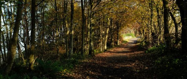
A brief history of public rights of way
How our network of public rights of way came to be and why it is so important we protect these ancient routes.
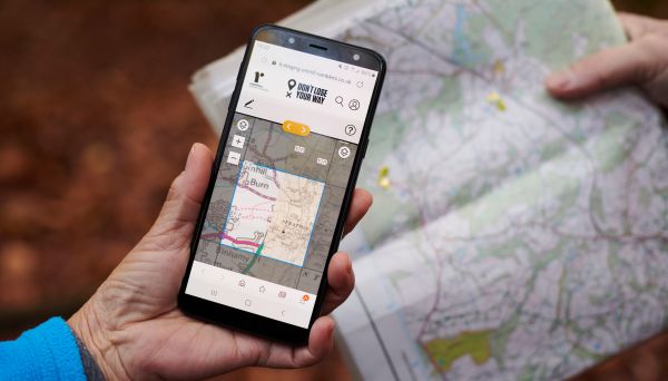
Don’t Lose Your Way – Saving lost paths
We have searched England and Wales and found over 49,000 miles of paths that could be lost forever. Time is running out to save them for future generations.
Claiming unrecorded public rights of way
Unrecorded paths are vulnerable to development and unresolved problems. It is important they are claimed and get the protection they are entitled to.

Dealing with problems on public paths
The Ramblers guide to reporting problems on public rights of way in England and Wales. Who is responsible, how to contact them and what to expect.