Summary

A walk from a ‘chocolate box’ village, across farmland to a magnificent estate, returning via country lanes. Leave time to explore Lacock and its tea shops!
Difficulty:
Leisurely
Distance:
10.4 miles (16.7 km)
Walking time:
05h 10m
Type:
Circular

Start location

Lacock, Wiltshire. SN15 2LG

lat: 51.4129402

lon: -2.1194687

Map

Elevation

Route

1 of 0

Getting there

By car: Lacock village lies off the A350, south of Chippenham. The National Trust car park (£3, free to members) is clearly signed from the main road. Note that there is no parking in the village

By bus: 234 bus from Chippenham hourly Mon - Sat

Waypoints

1

From the car park, follow the signed footpath into the village, passing the abbey on your right. Beyond the museum, turn right into East Street, with the 14th century tithe barn on the corner. At the bottom of the road turn right and walk towards the church, going left just before reaching it and continuing to a packhorse bridge. In medieval times, this was the main road out of Lacock, continuing to the top of the hill and then down to the River Avon at Reybridge. The ford is still used by vehicular traffic, and the 18th century packhorse bridge was built to enable goods to enter the village when the brook was in flood. Beyond the bridge, ignore the footpath left and keep right, alongside the brook, then climb the lane ahead to its end. Here, by the radio mast, turn right through a kissing gate and take the surfaced path across the field, leaving by another gate and continuing to reach a road. Go ahead, turning right to cross the River Avon.

2

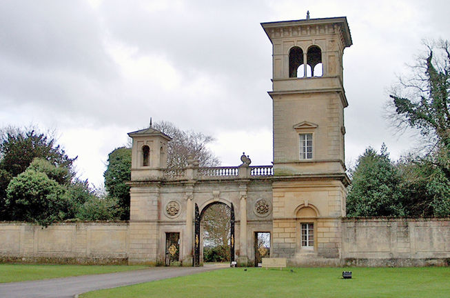
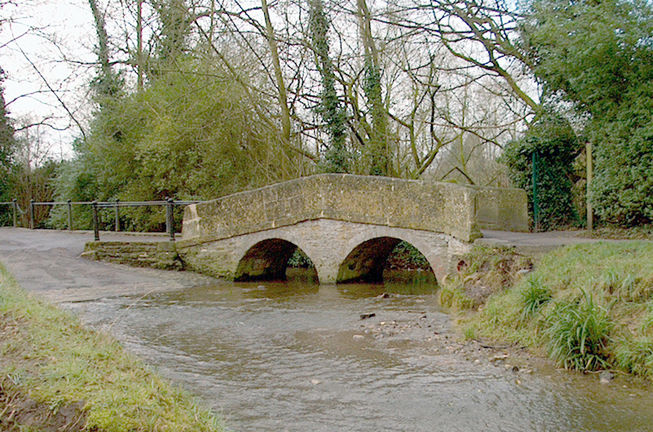
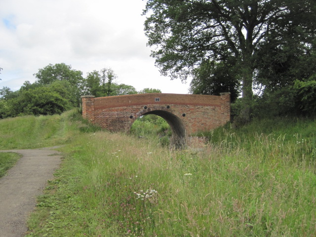
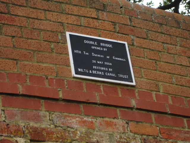
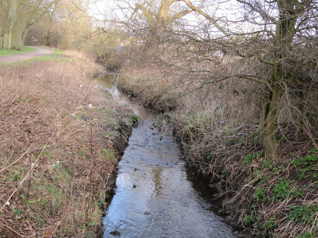
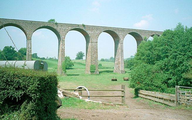
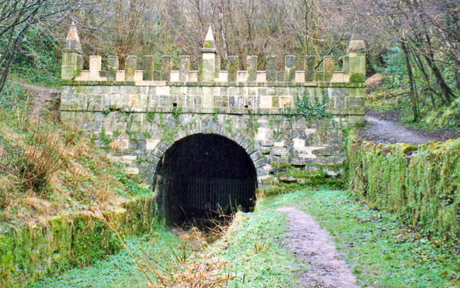
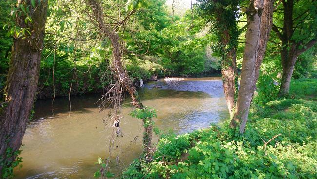
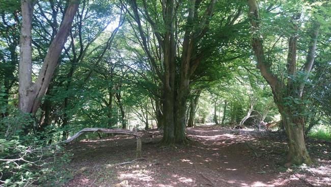
On the far side, climb the stile on the left, then walk diagonally across the field to a stile located between the end of the wall and the railings. Cross the road and go over the stile opposite, then follow the narrow path to its end, where you cross another stile into a field. Now turn left and follow the boundary, going right at the corner and continuing to a stile on the left, beside a gate. Cross, then continue in the same direction keeping the hedge on your right and climbing the banking ahead.  The muddy path leads you through a copse, with a watery patch on your right. This is the Wilts & Berks Canal, now at best little more than an overgrown ditch since its closure over one hundred years ago. (A) The 52 miles of canal from Semington Junction on the Kennet and Avon Canal, to Abingdon on the River Thames Navigation took 15 years to complete, opening in September 1810. In addition to providing a route for coal to the London market, the canal served to bring cheap coal to the local market towns, whilst also offering economic transport for the regional export of agricultural produce and such locally produced goods as bricks, and building stone. With its capacity only for narrow boats, the Wilts & Berks always proved of limited economic value while the Kennet and Avon was supporting boats twice the width and providing a shorter, speedier and more economic route to the London market. When the coalfields became worked out, the traffic on the canal declined and severe silting of the channel through lack of dredging reduced the available depth of water. However, it took a storm early in 1901 to finally render the canal useless, by damaging a section of aqueduct between Calne and Chippenham and thus letting the water run out, leaving the canal high and dry! At the far side of the copse you join a tarmac path. Follow it until you reach a brick bridge, cross over the bridge following the clearly waymarked route to the gate on the left. Go through gate to enter a field, then go left, to reach a stile that you climb to enter woodland.

3

The path leads you up to another stile giving access to a field; walk across, picking up the boundary on the left. Go ahead through a gate, cross the field to another and continue to a surfaced driveway. The right of way now goes diagonally up to the top right corner of the field to a waterlogged stile. From here, go half-left, crossing a stile in the fence and continuing to rejoin the original track on the left boundary before reaching cottages.

4

Just before a gate, ignore a path going left behind the cottages, but go ahead on the bridleway passing in front of the dwellings and,continue to a surfaced driveway. Cross the grass ahead half-left to go through a gate to a field, then walk ahead with woodland to your left. The path brings you to a gap in the boundary ahead, beyond which the ground drops away to a stream in the valley bottom. All paths lead to a footbridge, cross this and the following stile, then take the path upwards, passing to the right of an electricity pole. On the far side of the meadow, climb a combination of steps and ramps and at the top, cross to a further stile, then follow the narrow path to reach the road.

5

Over to your left, the Lansdowne Arms is your reward for the climb; though with two-thirds of the walk still to do, don’t linger too long! The route now takes you through the grand entrance to the Bowood Estate, opposite the pub. In here, it is impossible to take a wrong turning as the only Right of Way through the grounds is clearly marked! Walk for a short distance along the driveway then go left where directed, following the path to pick up the golf course fence on the right. In a short distance you will be able to see on the distant hillside, the Lansdowne Monument and to its left, the Cherhill White Horse. Follow the railings on your right until the path forks left to enter woodland, soon descending to cross a stream. Go ahead until directed right, where a short, often muddy climb brings you to cross-paths. Go right and continue to a surfaced drive at a bend. Walk along the drive, passing the golf course on the right, until you are directed left, through a kissing gate.

6

Walk with the wire fence initially on the left, then go onward to the far boundary. Here, you go right to another kissing gate then continue to a driveway. Follow signs left, then go right, down towards lakes, with views of the House up to the left. (B) The Lansdowne family have lived at Bowood since 1754 and by 1760 a grand house replaced an earlier hunting lodge. Robert Adam further improved the house, and built the magnificent façade that forms the main part of today’s Bowood House. As the family fortunes dwindled, the ‘big’ house was used only for entertaining and the service wing, known as the ‘little house’ provided the living accommodation for the family. After the Second World War the big house was left in such a state of disrepair that in 1955 the 8th Marquess took the decision to demolish it and at the same time have the little house converted to a comfortable residence, incorporating many of the decorative features from the old building. Thousands of visitors now wander through the ‘service wing’ and enjoy the 2000 acres of landscaped park and gardens visualised by ‘Capability’ Brown. Cross the gated causeway, then walk ahead across the parkland, keeping the lake in sight down to your left. Eventually, you reach a gated bridge on the left. Cross, then turn right and walk up to a kissing gate and road beyond. Now go right again, re-crossing the lake.

7

At a fork, keep left, passing a house on your right, then keep to the grassy track until you reach a cottage on the left, beyond which you are directed left. Climb the track into woodland, keeping left at a fork, eventually going through a kissing gate and continuing past cottages to reach a road. Cross over and turn right, passing the George Inn. You have about a mile of road walking now, mostly unprotected, and care is needed on this first stretch. Go left at the junction and walk as far as the first road on the right, opposite White Lodge. Take this quieter lane to a T-junction, turn left and walk almost to a pair of radio masts before turning left through a green metal gate (gate missing on 3 July 13), then right, to enter a field.

8

Waymarks point to your route, diagonally over the field (this and the following two are often cropped), to a stile in the far fence. Climb this and cross the next field in the same direction to a further stile. Beyond this, cross a third field to a metal field gate, which becomes more obvious as you approach it. Pass through and go ahead to climb a stile at a driveway, the entrance to Bowden Park. Cross the drive and continue in the same direction with greenhouses on the right, picking up the right boundary and descending to the corner of the field where you climb a stile to enter woodland. Continue, passing a house to the right then on to a drive. Here, turn left and walk to the road with a church opposite. (C) St. Anne’s is a late Victorian church, built by former Prime Minister Gladstone while he lived at Bowden Park.

9

The remainder of the walk follows the road downhill. Much of the distance can be covered on grass verges and shortcuts that straighten the bends, first on the left, then on the right. Beyond the Rising Sun on the left, you pass some delightful cottages to reach Bewley Common on the right. (D) Look back right, across the edge of the common, to see ‘Night & Day’, a pair of gatehouses that mark the western entrance to Bowden Park. In years past, an old couple lived in these buildings, using one for a living room and the other for a bedroom. The couple would travel from one to the other every morning and then back again in the evening, hence their nicknames, ‘Night & Day’. Walk on the common close to the road, then continue on, passing the Bell Inn.

10

Beyond Bewley Lane on the right, you approach the bridge and causeway that will take you over the river. Look back right from the bridge, to get a distant view of Bewley Court. (E) Originally built in wood around 1330, Bewley Court was re-built in stone in 1390 and more recently restored to its former glory by Oliver Ford, the Queen Mother's decorator. Legend has it that there used to be a tunnel between Bewley Court and Lacock Abbey, although no trace of it has been found. The final few hundred yards of the walk take you once more past Lacock House, and when you reach the road junction, with the car park over to your left.

Notes

Refreshments: Four pubs at various locations on the walk

Problem with this route?

If you encounter a problem on this walk, please let us know by emailing volunteersupport@ramblers.zendesk.com. If the issue is with a public path or access please also contact the local highways authority directly, or find out more about solving problems on public paths on our website.

Join the Ramblers and enjoy

  • unlimited free access to 50,000 Ramblers group walks
  • a library jam-packed with thousands of tried-and-tested routes
  • a welcome pack teeming with top tips plus our Walk magazine
  • exclusive discounts from our partners
  • knowing your support is opening up more places to walk and helping more people discover the joy of walking

Sharing

Join the Ramblers and enjoy

  • unlimited free access to 50,000 Ramblers group walks
  • a library jam-packed with thousands of tried-and-tested routes
  • a welcome pack teeming with top tips plus our Walk magazine
  • exclusive discounts from our partners
  • knowing your support is opening up more places to walk and helping more people discover the joy of walking