1
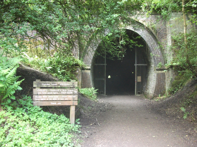
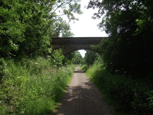
This walk begins at the small public car park on Springfield Street, opposite the Sainsbury’s filling station. Exit the car park onto Springfield Street and immediately turn right, heading South, up a footpath marked Brampton Valley Way (A) separated from the car park by metal railings. Follow this footpath with the railings on your right, turning right along Britannia Walk. You are now on the route of the old railway track, and will be for next 2.9 miles. When Britannia Walk turns left, continue straight ahead on a footpath, with a house on your left and a wooden fence on your right. This footpath soon enters Little Bowden Recreation Park. Continue along Brampton Valley Way which follows along the right hand border of the park, and then beside some allotment gardens. Cross Scotland Road where there are two 5 barred gates to prevent vehicle access along Brampton Valley Way. The path soon leaves the houses behind and heads out through fields. Pass under a single arched brick bridge. A sign advertises refreshments at the adjacent Waterloo Farm Leisure site (B). Shortly after passing beneath a double arched brick bridge the path goes through a cutting which approaches the Oxenden Tunnel (C). This is 418 meters long. The path is generally in very good condition although there are a few shallow puddles which are difficult to see in the dark. A torch may be helpful here. After leaving the tunnel, continue for 250m along the old railway track
2
Take a steep muddy footpath (signpost Gt Oxendon Bridleway) turning sharply back to your left and leave the Brampton Valley Way. Walk back northwards beside trees lining the old railway cutting and go through a gate into a field above the tunnel. Follow the hedge on your right up the hill towards the single ventilation shaft of the tunnel. Just before reaching this, turn left at a footpath marker and walk down across the field. Intercept the hedge on the right, about ¾ of the way down the field where there is a stile and a short path leading to a road with an motor cycle dealer, with a “Moto Guzzi” sign, on the opposite side. Turn left, West, onto this road, Braybrook Road, towards the centre of Great Oxenden (D). Cross almost straight over the A508 main road and start heading towards East Farndon. Pass an old red telephone box, then just past “The Old Bakehouse”, turn right along a footpath. This is between two hedges and two driveways. At the end of this path is a wooden gate. Pass through the gate into a meadow and immediately turn left along the Jurassic Way (E) towards a stile in the far hedgerow with an interesting sliding top rail. Continue very slightly left, crossing two more stiles, then on to another stile in the far left hand corner of the next field.
3
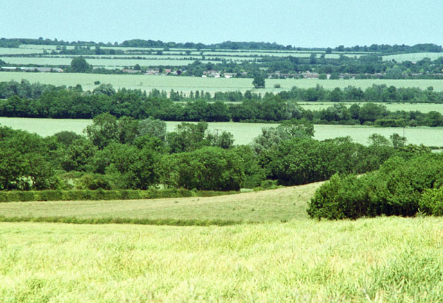
Turn right onto Farndon Road and walk towards East Farndon, still following the Jurassic Way. After 1.1 miles of road walking with expansive views to the south west of the site of the battle of Naseby, you come to a T junction. You may wish to visit (F) Rupert’s Viewpoint (Battle of Naseby, English Civil War, 1645) which is 450m from here - turn left towards Clipston.
4
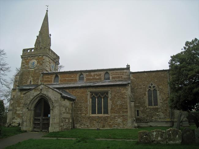
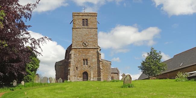
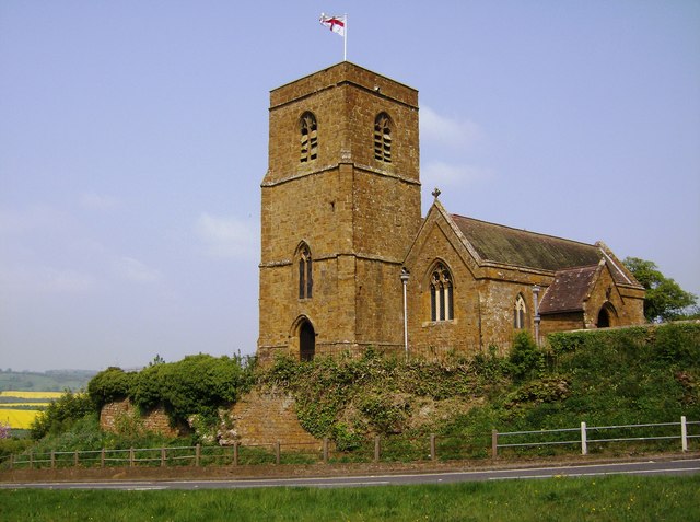
At the T junction, turn right, leaving the road and taking the second of two footpaths which enters a field through a metal gate and is labelled “Jurassic Way”. This is just between two black and white chevron sharp bend marker signs. Bear left across this field towards some distant trees and a white house to their left. At the far side of the field is a stile, cross this and follow the hedge on your right towards those trees and cross another stile leading into the churchyard. Pass East Farndon Church on your right and exit the churchyard through the ornate wrought iron gates. Turn left onto the minor road, bear right at a grassed traffic island and cross straight over the main road. Follow a large hedge on your right, up the driveway of an old brick house towards their white garage which is some way back from the house. The footpath goes between the garage on the left and the hedge on the right. Cross a stile into a meadow with lots of earthworks, marked “Pits” on the map. Walk towards the prominent footpath signpost in the middle of the field. Continue in the same direction to an out-of-sight stile in the far boundary of the field. Cross the stile and turn left down a lane for only 100m. Cross another stile into the field on your left, and continue in the same direction, North West, to the next stile near some large trees which leads to road. Turn left here, and almost immediately right, over a stile next to a metal gate into a field. Head straight ahead, passing to the right hand side of the hedge which you meet end-on. Continue ahead for 50m to an overhead power line where a footpath crosses your track.
5
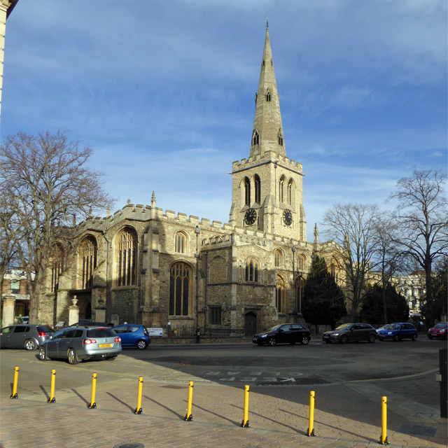
Turn right here towards Market Harborough and look for the prominent church spire in the town centre then head in that direction. Cross three more fields (and 3 more stiles) to reach Lubenham Road. Cross this road and passing a green metal seat head towards a horse chestnut tree behind the seat. The footpath goes through a very small gap in the hedge behind this tree, then straight across an arable field to pick up a field boundary which curves towards an overhead power line. Head under the power line to Farndon Fields housing estate. Note: In June 2013 when this route was developed, this estate was in an early stage of development and was not yet shown on the OS maps. Walk straight through the estate following paths and roads, still heading north east. Go clockwise round a small compound fenced with galvanised stakes and ahead towards some slightly older housing, with a disused railway embankment on your left and an industrial estate on your right. Join a small footpath to go beside the houses to Rugby Close (in front of those houses). Turn right along Rugby Close and then immediately left onto another footpath obscured by trees and a fence. At the end of this narrow path, turn right onto Welland Park Road, and approach the roundabout.
6
Turn left at the roundabout into Farndon Road, heading North, then right into Welland Park. Follow the winding path to your left which leads to the River Welland, and with this on your left walk through the park. Do not cross over the river. Continue following this riverside path, crossing two roads, until you reach Sainsbury’s car park. At the far end of this, turn right at the sign to Brampton Valley Way, leaving the river, and walk up beside Waitrose to Springfield Street. Turn right and return to the car park where this walk started.

