1
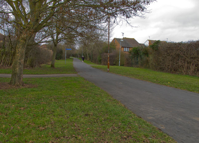
From car park cross ring road (A417) with roundabout on your right, then bear right to cross B4216 and, with pub on your left, follow tarmac path along ring road (A417) towards Worcester via M50 and Malvern. After 20 m bear left to follow path into playing fields. Follow right hand hedge until you come to estate road, turn left and in 150 m turn right up Katherine’s Walk (9-22), and at path T junction turn left for 100 m to estate road (Biddulph Way). Turn right along Biddulph Way and follow road for about 800 m until you reach Jubilee Close on your right. Follow Jubilee Close round to the left and up hill until in 200 m you reach a finger post showing a crossing path and a small close on your right. Turn hard right into close and at bottom bear left through gate and through two small fields to reach the ring road (A417) again. Cross road to gate and stile into a field to your front.
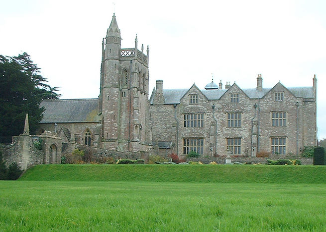
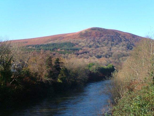
(A) Ledbury is a Herefordshire market town, lying east of Hereford, and west of the Malvern Hills. It is a borough whose origins date to around 690 AD. In the Domesday Book it was recorded as Liedeberge. It may take its name from the River Leadon on which it stands. Ledbury has a significant number of timber-framed structures, in particular along Church Lane and High Street. One of its most outstanding is the Market House built in 1617, located in the town centre. Other notable buildings include the parish church of St. Michael and All Angels, the Painted Room (containing sixteenth-century frescoes) the Old Grammar School, nearby Eastnor Castle and the St. Katherine's Hospital site. Founded c.1231, this is a rare surviving example of a hospital complex, with hall, chapel, a Master's House, almshouses and a timber-framed barn.
Take care crossing a rather busy road.
2
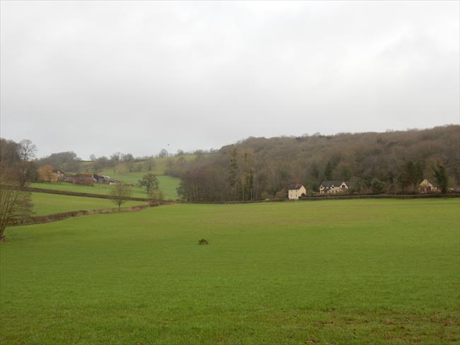
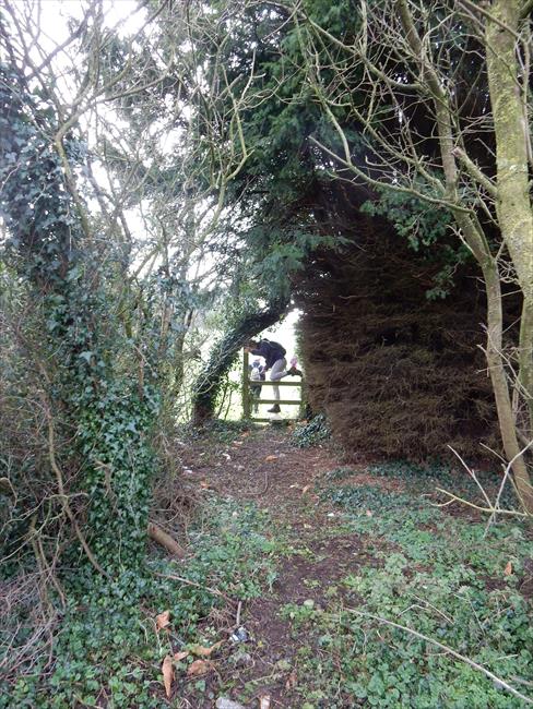
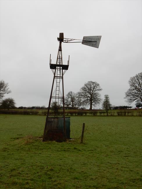
Follow right hand hedge through three fields and small wood to footbridge (NB. footbridge was missing on survey - has been reported but easy alternative route to left to cross stream). Continue forward from missing footbridge location across very large field to farm tarmac access road. Continue forward to hedge and follow it, to the right, to reach a bridleway bridge. Go up path between plank fence and wood and at end of wood turn left in field and follow path through fields, stiles, gates and garden to reach road through arch in conifer hedge. Turn right and in 30m left up cul-de-sac road. In 75 m at road bend take path on right, cross field diagonally uphill to stile in fence to your front then slightly left uphill to stile in hedge. Cross stile and continue forward downhill to another stile and then, past on old wind pump in centre of field, to gate and stile by small copse and pond. Go through gate and follow left hand hedge to cross the second stile, continue diagonally uphill to small gate in hedge corner. Cross next field diagonally downhill to trees and left hand fence, going along fence (on your left ) for about 200 m to cross a stile on your left and then through a small gate. Continue diagonally across field to far corner and end of wood then continue diagonally on same line across next field. Cross stile in left hand hedge, turn right and go over farm bridge/gate, bear left to hedge corner and continue uphill along this hedge on your right to reach main road, A417.
Take care crossing the busy A417 as the crossing point is on a bend.
3
Turn right and in 100 m cross road and take path to the left. Follow right hand hedge and wood edge downhill for 600 m and at end of wood bear left to corner of next wood. Follow new wood edge (on your left) for 250 m and at wood end bear diagonally right towards farm buildings and a stile in centre fence. Cross farm area and in 100 m go through gate and down narrow path by conifer hedge to reach the minor road.
4
Cross road and take right hand road for 200 m to crossroads Turn right and follow road over motorway for 1.0 km, passing through the hamlet of Ryton and ignoring the cul de sac road to the right. At junction follow road round to right and in 400 m, just over motorway, take narrow road to your right and then left. In 100 m reach finger post for crossing footpath.
NB. At the time of writing the preferred field route was obstructed and possibly unusable near Quabbs Cottage, even with trespass. This has been reported to the relevant authority in Gloucestershire. Thus the main description between Points 4 & 5 uses a reliable road route whilst the alternative route description uses the preferred but possibly still obstructed field route.
Turn right along the minor road and in 600 m just past a house on your left turn left over stile into garden. Follow path through garden and cross large field for 600 m to reach fence corner on your right. Bear right to stile in hedge to your front, then up bank to the left of the wind pump to stile in the fence on your left. Continue diagonally across field to gate by stream then through farm area to gate on minor road. Continue past cottage and take path over stile to your right, crossing next field diagonally to stile.
5
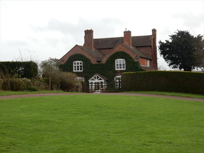
Turn left off narrow road up steps in bank and over stile into field. Bear diagonally right across field uphill to end of hedge. Bear left along this hedge and continue across large field for about 300 m to enter orchard. Continue forward to large house (Hill Farm) and follow farm track to your right to go between barns and then left to reach farm driveway in front of same large house. Continue down driveway for 200 m, cross stile on your right and field to stile near corner of wooded area. Go through wooded area and, after crossing stream follow field hedge on your left uphill (NB footpath has recently been diverted from across centre of field). Go past new large curved roof building to your right to reach farm gate onto minor road. Go straight across road and take farm track through several gates past farm buildings (The Burtons). In field at end of farm buildings, leave track to go right of water tank and on to stile in far fence. Go diagonally right across next field to a hard-to-find stile partway along fence to your front and after crossing it turn left to approximately follow left hand hedge to footbridge and B4216.
6
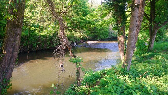
Turn left along road and then immediately right down track to Farm Mill cottage. Go through garden, cottage buildings on your right, to footbridge behind outbuilding. Cross stream, River Leadon, and bear slightly right across field to gate and in next field to stile by gate and into fenced alleyway. At end of alleyway turn left and follow track round to the right (the recently renovated Pound Farm and outbuildings to your left) for about 400 m over bridge over dismantled railway to minor road. Turn right along minor road for 500 m to a road junction. Take the left hand fork and continue along the minor road for 2 km, ignoring roads and paths to your left and right, to reach Henberrow Farm on your right.
7
After passing Henberrow (farm) on your right, turn right at finger post along vehicle track (second track), for about 300 m and to stile on left. Cross stile and walk downhill with hedge on your right. Continue downhill to gap in fence and head to stile to the left of the pond and on across next field to very small copse before following hedge on your right uphill to farm gate and minor road. Turn right and follow road for 1.0 km to main road (A449). Cross A449 and turn right down tarmac path to follow A449 for 400 m back to the cars.
At the time of writing the preferred route along the track and through the fields was usable but a little overgrown and difficult to find. Thus the alternative road route has been provided.
After passing Henberrow (farm) on your right, continue along the road for 2,0 km, ignoring the minor road off to your left. On reaching the main road (A449) cross and turn right down tarmac path to follow A449 for 400 m back to the cars.

