1
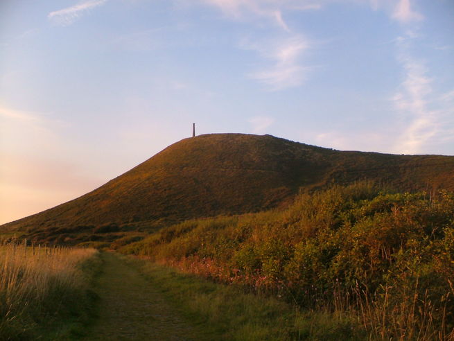
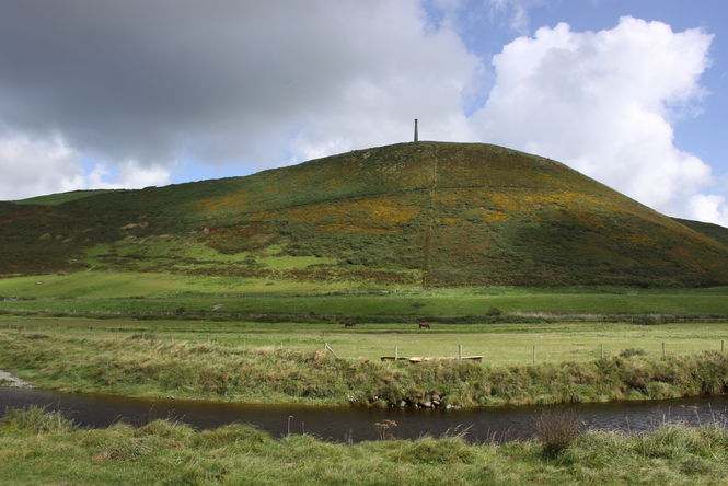
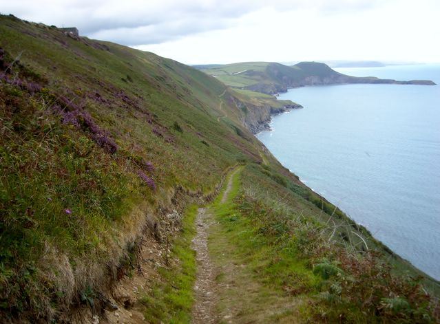
This picturesque, family-friendly walk follows the Ceredigion Coast Path south of Aberystwyth through the Tanybwlch Local Nature Reserve, which was designated in 1998 to prevent the area being encroached by ongoing development of the town. It then turns inland along a river, before climbing up the modest summit of Pen Dinas (114m/374ft) – the site of an Iron Age hill fort and the local landmark of Wellington monument, built in 1858. A gentle descent through fields returns you back into town to the station.From Aberystwyth railway station, turn left along Alexandra Road, and then head along Mill Street. At the bridge, turn left along Trefechan Road. Look right for Pen-yr-Angor and cross the main road with care.
2
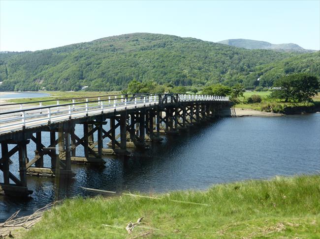
Follow Pen yr Angor (SN583810), crossing the bridge as you approach Tanybwlch (SN579806). (If you have a car, we suggest parking here).
3
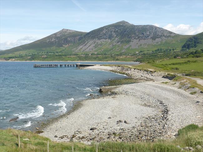
Continue in a southerly direction, following the sign for the Ceredigion Coast Path. You can either use a narrow path beside the River Ystwyth or a wide track behind the raised beach.The beach route offers excellent views seaward, although the surface may be awkward underfoot.
4
Where the ground starts to rise, look left for a stile leading to a recently designated of right of way (SN580800). Take care ascending the wobbly stile and follow the path with the fence to your left. (Dogs should be kept on leads here as the path soon enters a field that is likely to contain sheep).
5
After the next stile, continue along an embankment with a fence on your right.This will take you past the site of the original Aberystwyth castle, built in 1109.
6
Just before a bungalow, cross over a stile and continue with the fence on your left. Follow the waymark and proceed along the road towards Rhydfelin (SN586791).
7
At the end of the road, turn left at the T junction and bear left to a lay-by. Look right for the footpath sign (SN589788) and go through a metal kissing gate to continue along the river on your right.
8
As the river approaches the beach, turn right along the path, continuing past the parking area and over the bridge. Look right for a footpath sign between a white wall and a brick wall, and follow it up the steps, bearing right along the pavement. Look left for a break in the hedge and a wooden kissing gate (SN581804).
9
Proceed up the path on the hillside through bracken, bramble and gorse, passing some benches on the left and steps. Continue along the path with good views over the valley to your right and go through a wooden kissing gate, following the path around the contours of the hill.
10
Before the path descends towards the housing estate, turn left (SN587799) to face the summit of Pen Dinas, marked by the Wellington monument, and head towards it.
11
Bear right afterwards to descend along a path through two gates. As the track starts to curve, look left for a wooden kissing gate. Follow the edge of the field and turn left at the bottom of the path (SN585809).
12
Bear right towards the road then turn left, following the pavement downhill, past the turning for Felin y Mor, and proceeding back to the rail station.

