1
From the attractive Tayport town centre (NO458288), walk along William Street (B946) onto Queen Street, then turn left onto Maitland Street. Go straight over a roundabout onto Mill Lane, then right onto the Promenade. Walk alongside the Tay Estuary, through a car park into Tayport Links Caravan Park (NO462287).
2
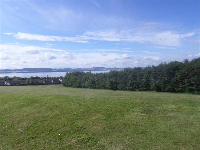
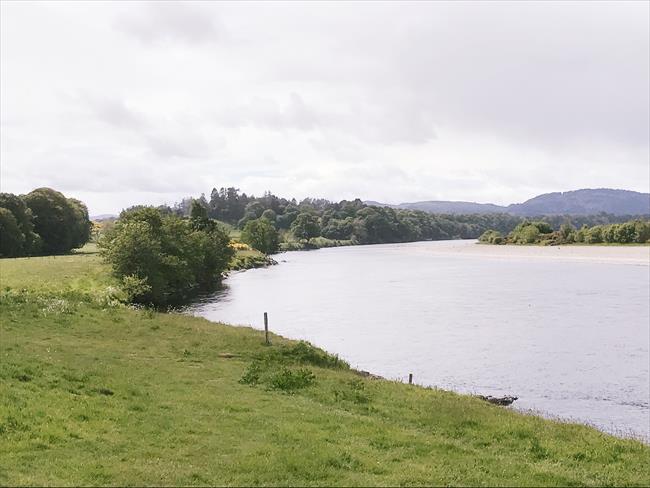
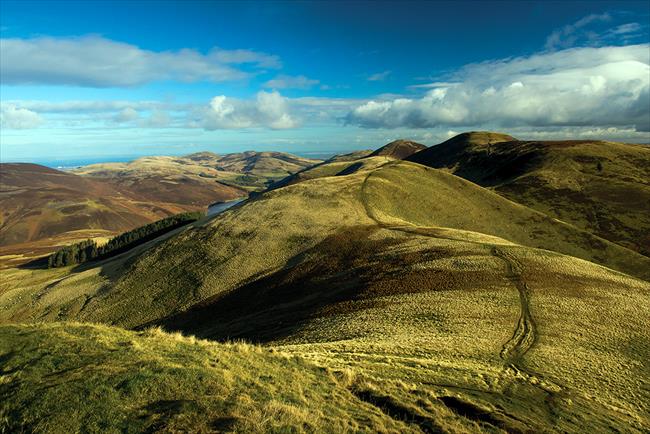
Walk through the caravan park, forking right beside the reception then continuing over a footbridge. A road then runs through parkland onto Links Road North. Turn left onto Shanwell Road South and, once over Lundin Bridge (NO468279), go left at a fork around a barrier, where a stony track proceeds along the Tay Estuary towards Tentsmuir Nature Reserve. There are fine views across the River Tay to the rolling aspect of the Sidlaw Hills. At a fork, keep left, then at the next fork go right and walk around a barrier into the reserve (NO473277).
3
Take the first path on the left, which runs east, inbetween woodland and sand dunes. In due course, the path swings right. At this point, leave the path and go straight on along a beach for about 100 metres (if the tide is in, keep to the top of the beach) from where another sandy path is picked up, continuing its course alongside the woodland and eventually rounding Tentsmuir Point (NO498279).
4
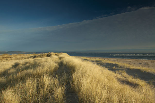
The path then runs southeast, with views along Abertay Sands. At a gate, keep straight on through marram grass, enjoying the wide variety of wildlife. At the next fork, go right to pass by a wind pump (which brings water from around the reserve to keep the rare dune slacks flooded) onto a wide, grassy path. Go straight on at a crossroads and continue a little to the left of Tentsmuir Forest to a fork beside concrete blocks. Go left to walk over the dunes and reach a gorgeous beach (NO505276), part of Abertay Sands, where you might see seals bathing near to the shore. Return to the fork and bear left through the concrete blocks.
5
Head southwest along an indistinct path to the southern corner of a pocket of woodland, where a narrow, grassy path runs towards Tentsmuir Forest. At a fork, go right with the path (which may be a little indistinct). A broader track is soon picked up to reach a gate, known as Dave’s Gate (NO499270). Go through here to a junction.
6
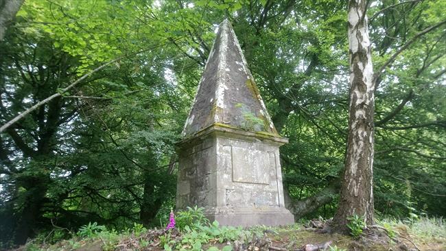
Turn right and follow the track through gorgeous woodland, going straight on at Junction 5. Pass by the March Stone (a standing stone dating from 1794, when it was erected as a boundary for fishing rights). The track eventually rounds Tentsmuir Point, veering left to Junction 4 (NO495282). Take the left fork onto a broad forest track, which runs west and where a selection of wonderful wildlife resides. The track meanders easily through the wood for about 2.5km/1½ miles, eventually returning to the barrier at the entrance of the reserve. From here, retrace your steps over Lundin Bridge and back into Tayport.

