1
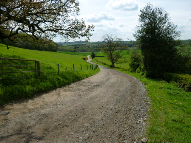
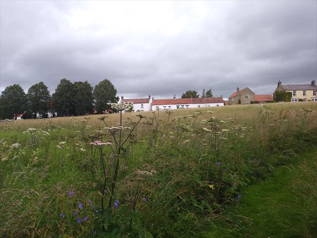
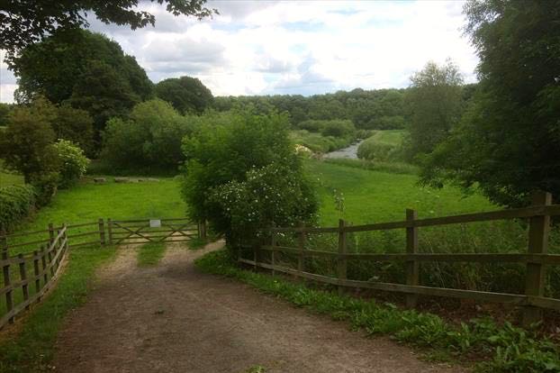
From the village hall turn left to Main Street and cross straight over into Church Lane. When the road turns left immediately after the church, keep straight on to the left of the house down a green lane. Note the waymark post which has signs for both the Centenary Way and the Ebor Way. The Ebor Way shares the same route as this walk as far as Hovingham. Emerging into a sports field turn right, following the school wall on the right. Go down wooden steps then along the right edge of an arable field to the corner, where there is a wide hedge gap ahead. Turn left here, the OS map appears to show the path going along the left side of the hedge, but it is best to use a clear well used path going along the right hand side. Keep straight on through two gates and over a footbridge. Go left up the left edge of the field and through a wooden gate. Keep in the same direction with the fence on your right to another gate, then keep straight on up to arrive at a metalled farm track. Turn left along the track which climbs uphill, ignore a track coming in from the right and keep straight on as the track descends gradually to Howthorpe Farm. Turn right through the farmyard and take a track going downhill from the bottom right corner. Immediately before reaching a bridge over a stream, turn left at a waymark post and continue with the stream and a copse on your right. Keep straight on through a gate and through a second gate with a footbridge over a stream.
The Ebor Way, whose waymarks will be assisting your navigation on this stretch, is a 76 mile long distance path from Ilkley in West Yorkshire to Helmsley on the edge of the North Yorkshire Moors. The Centenary Way was created to celebrate the Centenary of North Yorkshire County Council in 1989. The 83 mile route runs from York to the coast at Filey.
2
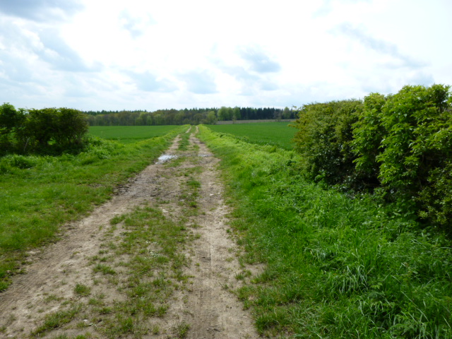
This is the point at which the longer and shorter routes diverge. To continue on the longer route turn right immediately after the footbridge and proceed with the stream on your right. On reaching a small waymark post by a ditch on the left, go left a short distance to leave the trees and enter a field. Follow the right edge of the field until you reach a gate on the right. Go through it and down to cross a stream via a small bridge and go uphill to the next gate that leads you into more woods. Go straight on uphill to a T-junction where there is a waymarker post just to the right. Turn right and immediately bear left on the track. Keep straight on across a number of track junctions. Keep on the track as it leaves the woods and continues through fields. It later becomes a green lane and then a road is reached. Turn right and when the road bears right go straight on down a path with a metal rail and keep straight on along the main road through Hovingham village.
For the shorter route, keep straight on along the fenced track, soon passing Airyholme farm on the left. The track continues across fields and passes right of Moor House Farm to reach a road. Turn left along the road and on reaching a sharp right bend continue with the instructions from waypoint [5].
3
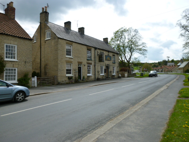
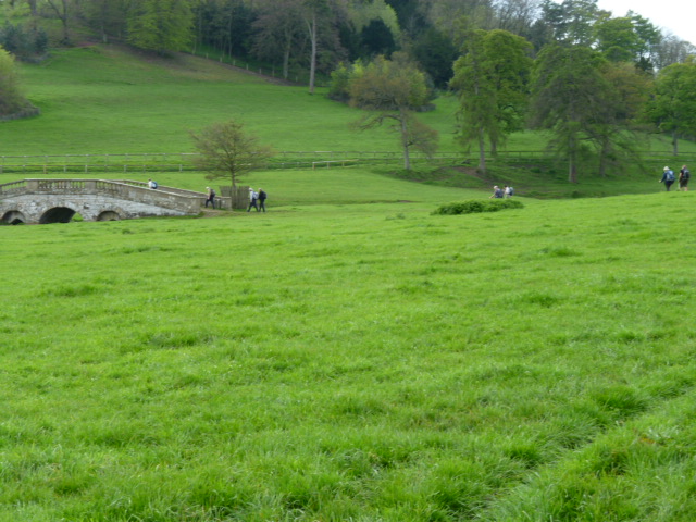
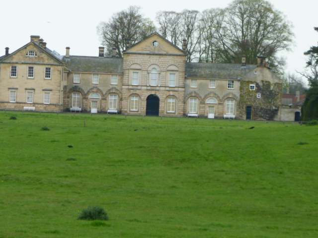
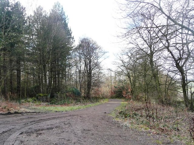
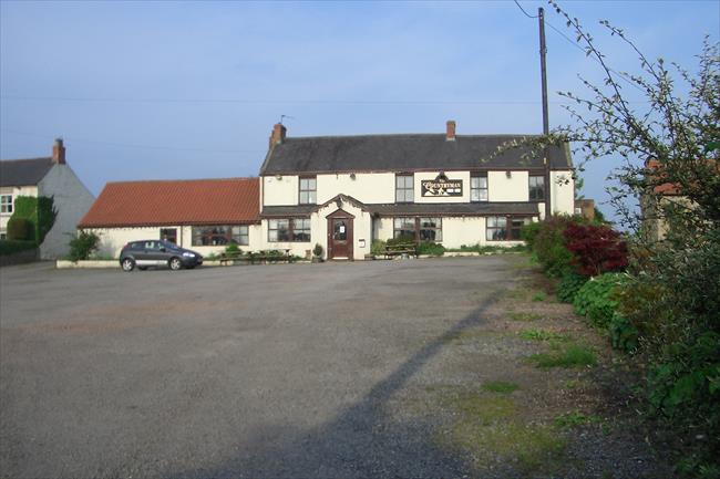
Continue along the main street. As you pass the first pub, you will also see the first tea shop just to your left along Park Street. Continue straight on past the second pub, the Malt Shovel, there is then a small green with the second teashop on the left. Go left here and cross a small bridge between the tea shop and a ford, then turn left on Brookside. After approximately 70 metres turn right onto a waymarked metalled track.Just before reaching a gate where the track goes half left, climb a stile on the left. Now leaving the Ebor Way, which continues along the track, follow the fence on the left, cross another stile at a driveway and keep straight on to reach a wooden footbridge. Cross this and go left to reach a stile that leads into Hovington Park, with views of Hovington Hall to your left. Now on a permissive path, turn right and follow the fence on your right. When approaching an ornamental stone bridge to the left, fork left towards it. (The bridge is a nice place for a lunch or coffee stop.) Do not cross the bridge, continue following the stream on your left going upstream. The stream eventually goes left under the road. Keep straight on a little further to find a stile just beyond a white gate that leads onto the road.
[A] When passing through the parkland on this section you will get a good view left to the 18th Century Palladian mansion, Hovingham Hall. The hall was the childhood home of the Queen's cousin, The Duchess Of Kent.
4
Take the track starting at a waymark post almost opposite, which is signed Coulton 1 3/4 miles. Go through a gate after about 20 metres and continue through the wooded vale. Ignore a small footbridge on the left which has a private sign and keep parallel to the stream on the left. Cross a stile into a field and keep straight ahead to cross a footbridge over a ditch. Keep straight on following the stream on your left across fields until a farm a track is reached. Turn left up the track. When it turns sharp right, that is the formal line of the right of way, which soon goes sharp left up to the road, but plenty of vehicles and feet obviously go straight on up a short steep bank to reach the road too. There is a waymark post at the junction at the top, go left along the road signed to Scackleton. (Not the road signed Scackleton 1 mile, which soon goes through a farm yard and becomes a footpath.) Follow the road for approximately 750 metres and when the road turns sharp right turn left onto a waymarked track, signed Scackleton Lane and Poticar Bank. The track follows the right edge of a field, goes through a gate in the corner and up to reach a road. Turn right and continue along a relatively busy road. There is a good grass verge you can use most of the way to avoid traffic. When the road turns sharp right go straight ahead at farm house.
5
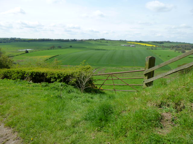
Go a few steps up the drive and spot a finger post pointing diagonally across the field on the left, signed Terrington 1 1/2 Miles. Take your direction from the post and walk diagonally across the large open field. There are a couple of waymark posts further on in the field to help keep you on track. After the brow of a hill look for trees in the left field edge near the bottom of the slope. Go to these and find a gap, go through and turn right along a track, following a stone wall on your right. When the wall goes right bear slightly left on the track which soon passes through some woods then enters another field. Go straight on up the right edge until the track goes half left to follow a wire fence. Here, go straight on through an old wooden gate and keep straight on to approach Rose Cottage Farm. The path has recently been diverted here to avoid the farm. Just before the farm take a wooden gate on right and follow the enclosed path passing to the right of the farm buildings with a fence on your right and stone wall on your left. Keep straight on past a tennis court to the right and soon after join the driveway to the farm. Keep straight on along this track, which later becomes a tarmac lane leading to the edge of Terrington. At the junction go straight on a few paces then round a left bend and down the main street back to the start.

