1
From the YHA walk down the drive to the road and turn left to the village. Turn right, and go straight on along a road to the right of the "The Inn at Grasmere". Follow the road to a T junction. Turn right and follow the road out of the village. It eventually runs alongside the lake and later, starts going uphill. At the top, ignore a right fork and carry on along the main road for another 100 metres to a gate on the left by a sharp bend.
2
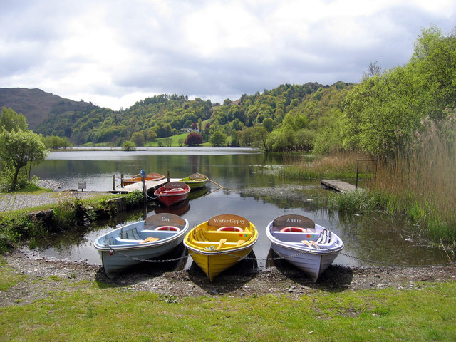
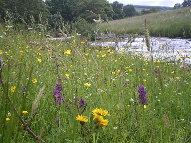
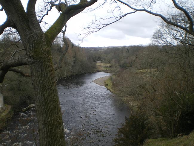
Go through the narrow gate and follow the stoney path down to the lakeshore, turn right and follow the path to the end of the lake. Go through a wooden gate at the left end of a wall to reach an open area with a small beach.
(A) This beach is a nice place for a break, and for a swim or a paddle on a hot day. There is a fine view of Helm Crag rising beyond the far end of the lake.
3
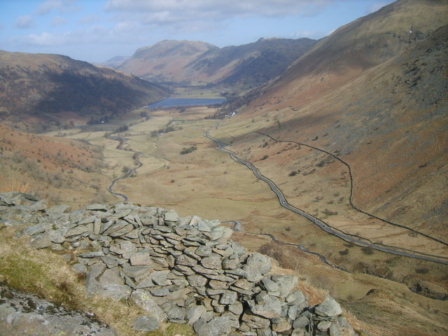
Go ahead towards a footbridge over the outlet from the lake. 10 metres before reaching it fork right up a steep path. The path soon levels off and starts following a wall on the left. When a large path joins in from the right go ahead a few steps, and just when the path by the wall starts descending steeply, take a small path on the right. Follow this towards the right side of some trees, by which time the path has become quite large again. Continue ahead past the trees. Views of Rydal Water open up to the left. Carry on to reach a huge cave on the right.
(B) The huge cave, which is an old slate quarry, is safe to enter, and is a popular attraction. If it is wet at the front, there are stepping stones that take you to dry ground at the back. There is a great echo in there. The acoustics are also excellent, and sometimes people take guitars in there to play them. It is also a great place for a coffee break on a wet day!
If you continue to the footbridge and cross it, and follow the path to the left, you will come to a bench which has a beautiful view across and up the lake. This spot makes a lovely spot for a coffee spot or a place for a well earned rest. To continue the walk, re-trace your foot steps back over the footbridge and down to the small path.
4
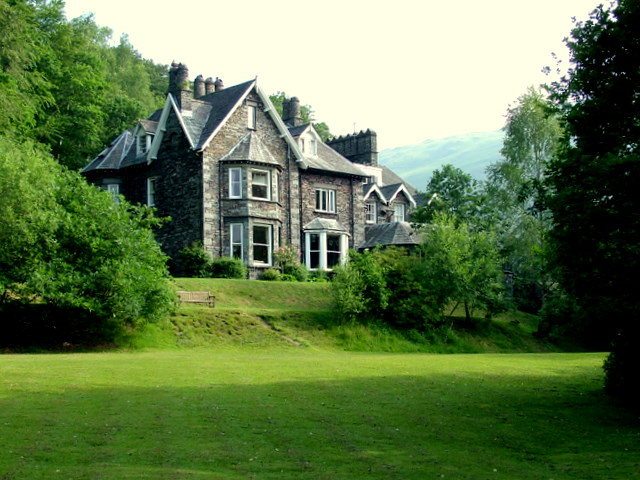
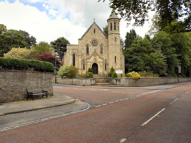
From the cave turn left and take the good track zig-zagging steeply downhill, pass more caves, which are not good ones to enter, and continue downhill on the main path. After passing a stretch just above Rydal Water down to the left, go through a gate and follow the track ahead through woods. Ignore the path on the left that goes down to a gate which then takes you into a wood (Steps End on the map). When the track becomes tarmaced, continue on it to the second set of cottages on the right, where a footpath starts through a gate on the left. Go through and follow the path steeply downhill through trees to another gate. Fork right to a footbridge, cross it and go up to the main A591 road. Cross it and turn right. In 10 metres turn left through a gate into Dora's Field. In a few paces fork right to a metal gate into the churchyard. Pass right of the church to a road and turn left up to Rydal Mount.
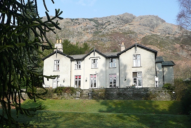
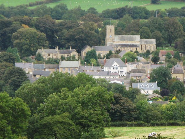
(C) Rydal, whose name means 'Valley where the Rye is grown' is another Lakeland village famous for its Wordsworth associations. He lived at Rydal Mount from 1813 until his death in 1850. The house is now a popular tourist attraction with a tea shop you could take advantage of.Dora's field, which you walk through, is named after William's daughter Dora (or Dorothy) who died aged just 43 in 1847. William bought this field in memory of her and planted hundreds of daffodils in it, which you will still see if you pass this way in April. William served as a warden at the small church here, and there is a plaque in memory of him on the wall inside.Rydal's lake is now known as Rydal Water, but it's ancient name was Routhmere, which translates as a trout lake.
If you have had enough at this point, there are bus stops just ahead along the main road. The buses to Grasmere go from the stop on the same side of the road as the Rydal Lodge Hotel. The stop on the church side is for buses towards Ambleside and Windermere.
5
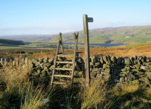
Immediately beyond Rydal Mount turn left on a bridleway which is signed as the 'coffin route to Grasmere'. Before Rydal church and the A591 turnpike road were built, deceased residents of Rydal used to be carried along this track on the back of a pack horse for burial in Grasmere. The track is easy to follow as it contours along the hillside, with views down to Rydal Water on the left. Depending on the tree cover, you may be able to spot the huge cave you passed earlier. The path gets a little rougher as it keeps ahead above trees down to the left. You eventually reach a pale green house on the right. Ignore a path going steeply down to the left here and keep straight on, now on a decent unsurfaced track. On reaching another house the track becomes a tarmaced road. Keep straight on past a pond on the right. Just when the road starts descending, fork right on a track with a waymarker post pointing to Alcock Tarn.
The way marked path starts off fairly steadily but in some parts can be a little steep and rugged with tree roots. Care needs to be taken.
6
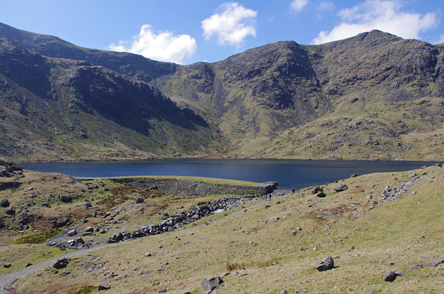
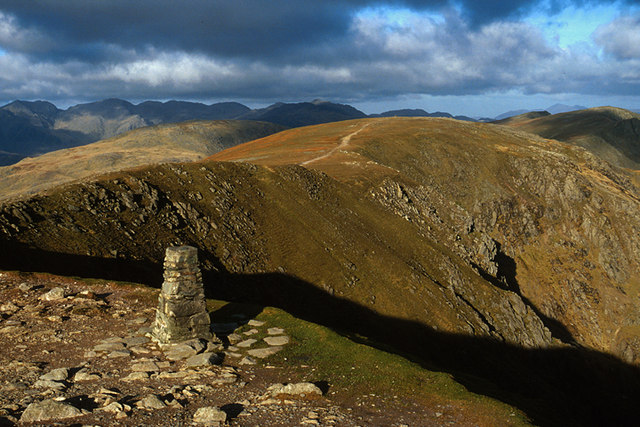
In 10 metres the track swings right towards black metal gates; Bear left slightly to see a gap in the wall, leave here and carry straight on through trees. Soon join a good stoney path coming in from the left and continue ahead along it. The path soon starts ascending through trees to reach a T-Junction. Turn right, following the yellow waymark and continue steeply uphill on a zig-zag path. Soon after a small pond you leave the trees and glorious views open up behind you. You start seeing rusty old bits of a metal pipe in the path. The tarn we are climbing to was once a local water supply. Go through a gate with a National Trust sign on it and continue uphill on the clear path past some fir trees, and continuing up to eventually reach a wall gap with Alcock tarn just beyond.
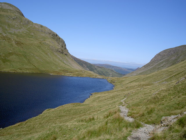
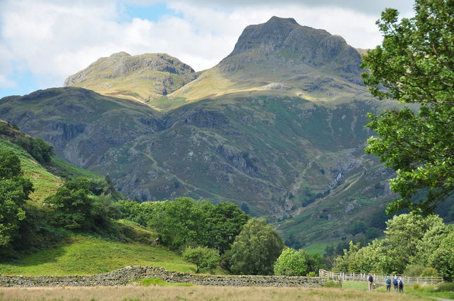
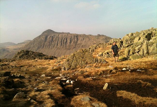
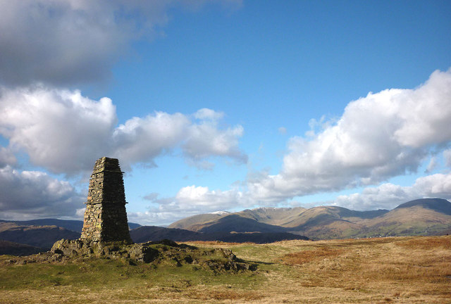
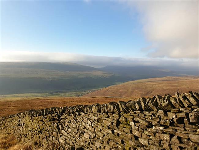
(D) The tarn itself is not that impressive, but its location is. Climb up the bank to the left for the best views, or stop to look just before reaching the tarn. You can see a good chunk of Windermere to the left, and a bit of Coniston Water a bit further right. Grasmere is laid out like a model village below you, with the Langdale Pikes and the high Lakeland fells beyond. After the lakeside paths earlier in the day, there is a real feeling of being up in the fells up here.
The climb up to Alcock Tarn is the toughest part of the walk, and comes late on. If you are running out of time, are tired, or if the weather is deteriorating, you can carry on along the road. Go past the way marker for Alcock Tarn and continue along the path which will drop down to meet a road. Turn right at this T junction and go down to the main A591 road. Cross over and go through Grasmere village and back to the start. This makes the walk 1.5 miles shorter.
7
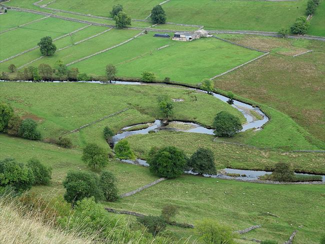
Walk along the left side of the tarn and pass through a metal gate. Keep ahead on the path, which soon starts descending steeply down some zig-zags and passes right of some fir trees near the bottom.Ignore the big stone bridge with the grassy surface which you are not allowed to use, and keep going down alongside the stream to a wooden footbridge you can use. Cross it and immediately turn left through a gate. Follow the road downhill to a T junction. Turn left and swing right down to the main A591 road. Cross over and walk along Swan Lane, almost opposite. Just after crossing a bridge over the River Rawthey, take a signed footpath on the right, follow it alongside the river and a smaller side stream and continue to reach a road. Turn left and you will soon find the drive to the YHA on your left. (Non hostellers keep straight on to reach the village.)
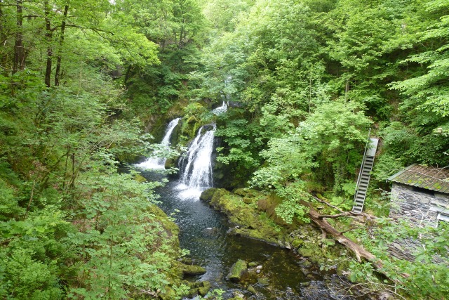
(E) The wide bridge with the grassy surface going over the stream is the pipeline carrying Manchester's water supply to the city from Thirlmere reservoir a few miles to the north.
The path alongside the beck/stream is very stony as some of the path has been worn away and could prove a little difficult after heavy rain.