Search Results
- Showing results:
- 30 of 33 (ordered by proximity)
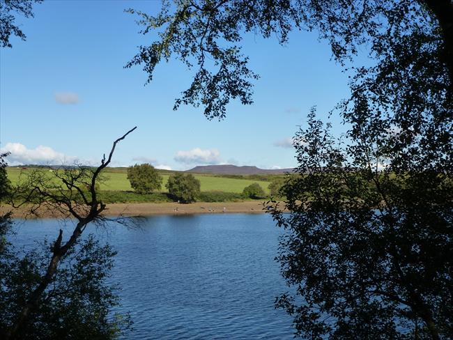
Fontburn Reservoir and Greenleighton, Northumberland
A lovely walk around Fontburn Reservoir taking in moorland, waterside and woodland habitats. Much of the route follows the Greenleighton Walk route and then the Waterside Trail, created by Wallington Estate & Northumbria Water.
- Difficulty:
- Moderate
- Distance:
- 5.5 miles
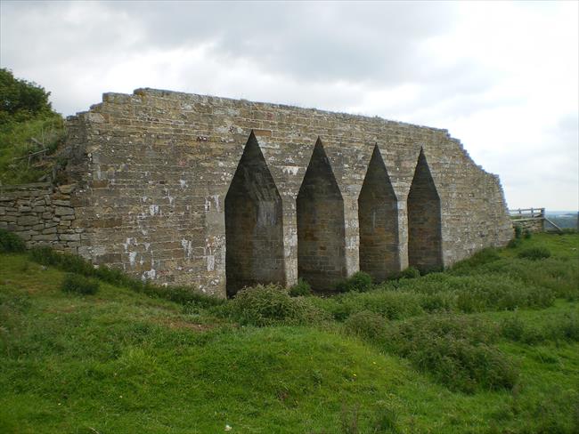
Wannie Line Railway Walk, Scots Gap, Northumberland
A leisurely walk mostly along abandoned railway lines through the pleasant Northumberland countryside
- Difficulty:
- Leisurely
- Distance:
- 6.5 miles
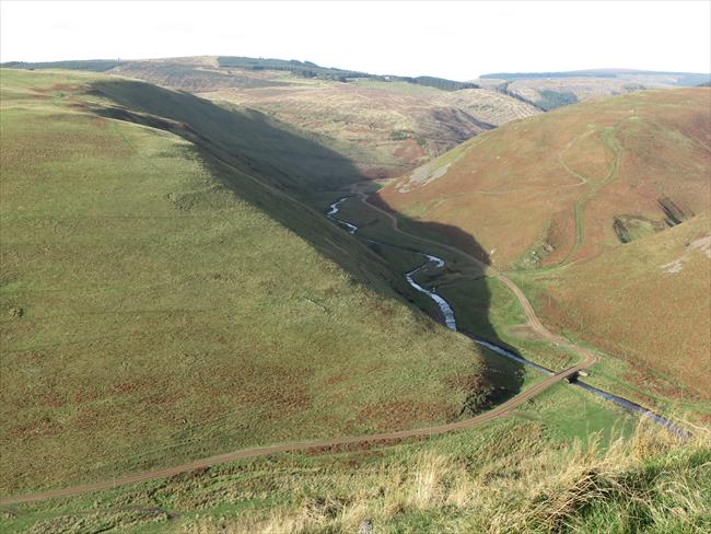
The Cheviot Hills and Wether Cairn, Northumberland
An undulating walk over seven grass-covered hills, lying to the immediate north of Alwinton, which offers a widescreen panorama to the Cheviot heartland on the outward leg to lonely Wether Cairn.
- Difficulty:
- Moderate
- Distance:
- 9.4 miles
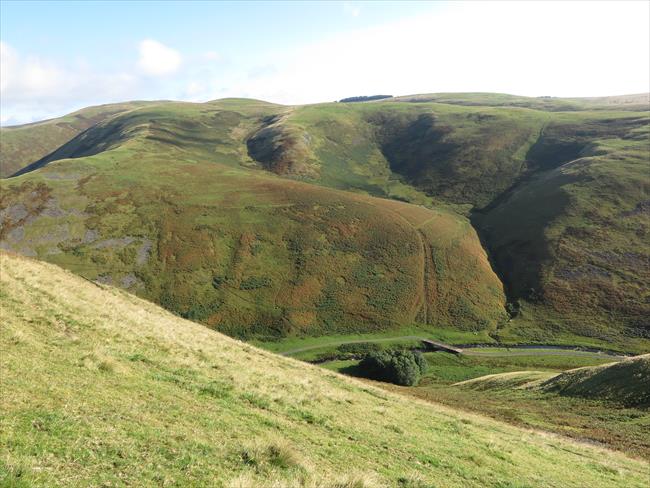
Usway Burn, Upper Coquetdale, Northumberland
This circular walk, which offers unrivalled views of the Usway Burn as it snakes between a series of beautiful interlocking shanks, climbs to the windswept summit of Shillhope Law before eventually returning to the River Coquet along an ancient track
- Difficulty:
- Strenuous
- Distance:
- 9.8 miles
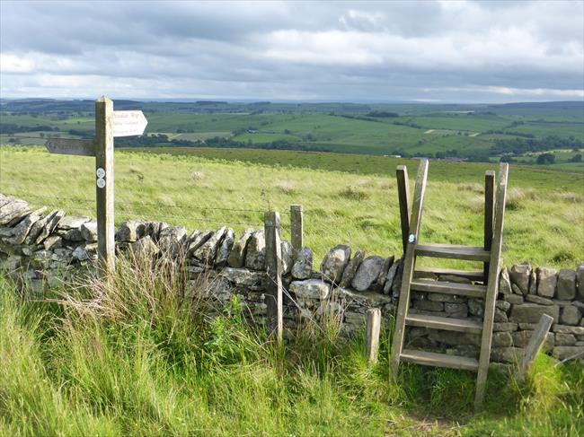
Bellingham, Northumberland
Figure of eight walk from Bellingham on either side of the River North Tyne. The town is situated on the edge of Northumberland National Park, a short drive from Kielder Water. The Pennine Way passes through it.
- Difficulty:
- Moderate
- Distance:
- 8.8 miles
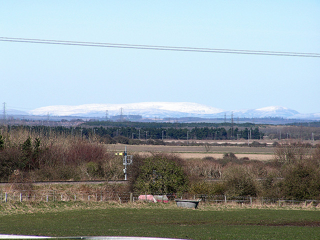
Cheviots, Northumberland
A circular ridge walk with far-reaching views along the Pennine Way from Wedder Leap in Upper Coquetdale, Northumberland, through the Coquet valley.
- Difficulty:
- Moderate
- Distance:
- 16.6 miles
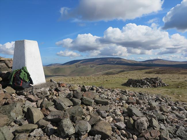
Windy Gyle, Northumberland
This delightful route offers the walker a taste of one of the quieter ways to reach Windy Gyle, Upper Coquetdale's most iconic hill, as well as the opportunity to experience, on the return journey, an outstanding portion of perhaps the most popular
- Difficulty:
- Moderate
- Distance:
- 8.7 miles
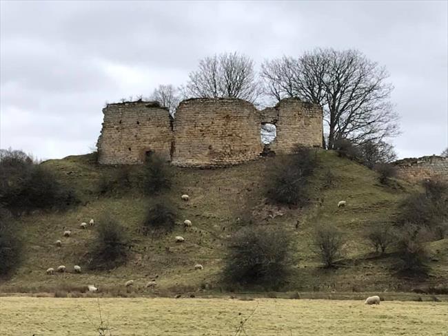
Morpeth and Mitford
A walk through Morpeth and the surrounding countryside and river bank with many historical points of interest.
- Difficulty:
- Moderate
- Distance:
- 7.3 miles
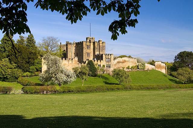
Morpeth
A lovely walk from Morpeth through the steep wooded valley of the River Wansbeck to the historic village of Bothal.
- Difficulty:
- Leisurely
- Distance:
- 6.6 miles
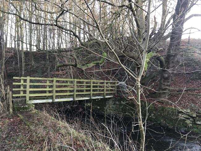
Stamfordham and Eachwick
A leisurely circular walk over fields, along riversides and through woodland with very few inclines. Several large country houses are passed - Cheeseburn Grange, Eachwick Hall, Dissington Hall - all occupied. Stamfordham village has one pub.
- Difficulty:
- Leisurely
- Distance:
- 6.4 miles
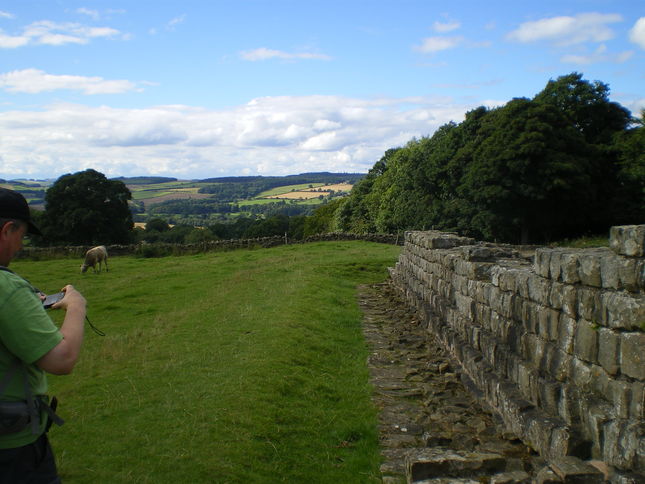
Wall to Wall, Northumberland
A beautiful walk with lovely views along Hadrian's Wall.
- Difficulty:
- Moderate
- Distance:
- 9.8 miles
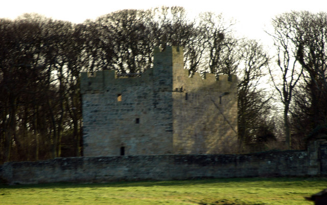
Circular walk from Cresswell Towers, via Cresswell Beach, Northumb
There’s something very special about Cresswell beach, where families stroll on the wide sands and the remnants of ancient forests peek out of the peaty under-layer. The route continues through nature reserves and open country.
- Difficulty:
- Leisurely
- Distance:
- 8.5 miles
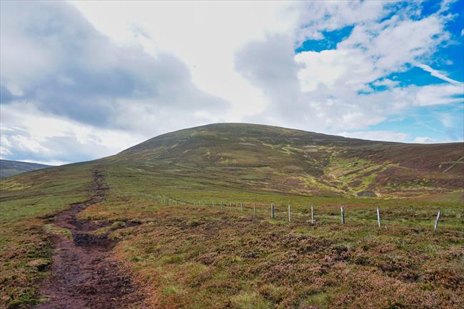
The Cheviot, via Cold Law and Hedgehope Hill, Northumberland
A route taking in the much underrated Cheviot hills: The Cheviot is the biggest (815m/2,674ft) plus neighbouring Hedgehope Hill (714m/2,343ft).
- Difficulty:
- Strenuous
- Distance:
- 14.3 miles
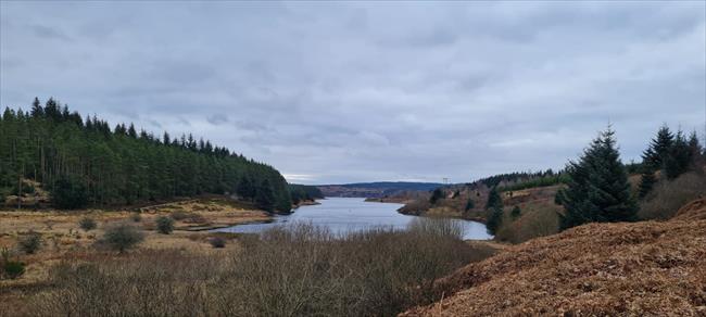
The Belling and the Belvedere - Kielder Water Northumbria
An exploration of one of the less walked parts of Kielder Water and it's Lakeside path. This route visits several sculptures en route and provides beautiful views across the reservoir throughout. A beautiful, accessible walk.
- Difficulty:
- Leisurely
- Distance:
- 8.8 miles
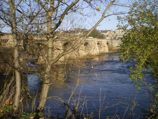
Corbridge to Prospect Hill and Snokhoe Hill, Northumberland.
A pleasant walk to the south of Corbridge in the Tyne valley with lovely views, plus an additional walk around the town.
- Difficulty:
- Leisurely
- Distance:
- 5.1 miles
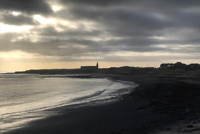
Newbiggin by the Sea circular, Northumberland
An easy 9 mile circular walk along the stunning Northumberland coast, returning inland via the outskirts of 2 villages with coal mining history, the wooded Ellington Dean and Newbiggin golf course.
- Difficulty:
- Moderate
- Distance:
- 9.1 miles

A West of Wooler Circuit, Northumberland
A gently undulating walk to remote Commonburn House which then turns towards St. Cuthbert's Way and the return route. All the while there are acres of peaceful heather moors and distant views towards the Cheviot heartland to enjoy.
- Difficulty:
- Moderate
- Distance:
- 7.6 miles
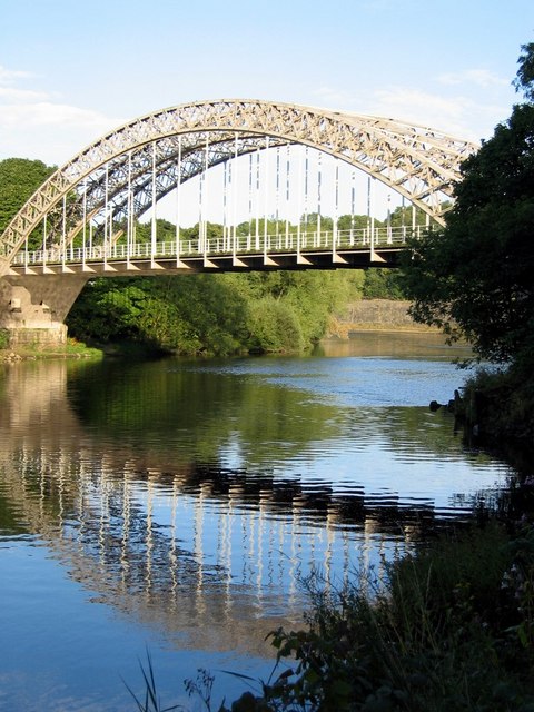
Ovingham and Wylam, Northumberland
A varied route with excellent views and sections through woods and along the River Tyne, with many interesting historical features.
- Difficulty:
- Moderate
- Distance:
- 8.2 miles
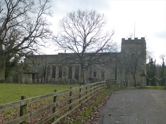
Ovingham and Bywell
A pleasant rural walk in the Tyne valley with extensive views and ancient churches.
- Difficulty:
- Moderate
- Distance:
- 7.3 miles
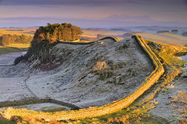
The Great Wall of the North, Northumberland - Hadrian's Wall
This route takes you along the most dramatic stretch of Hadrian’s Wall, which offers stunning views, particularly when snow settles on the moors. Allow plenty of time to look around Housesteads Roman Fort.
- Difficulty:
- Strenuous
- Distance:
- 5.2 miles
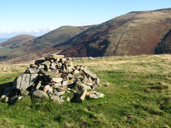
Hethpool, Northumberland
An undulating upland route to the Scottish border via the summits of Great Hetha, Saughieside Hill and Black Hag, all with fabulous views.
- Difficulty:
- Strenuous
- Distance:
- 9.7 miles
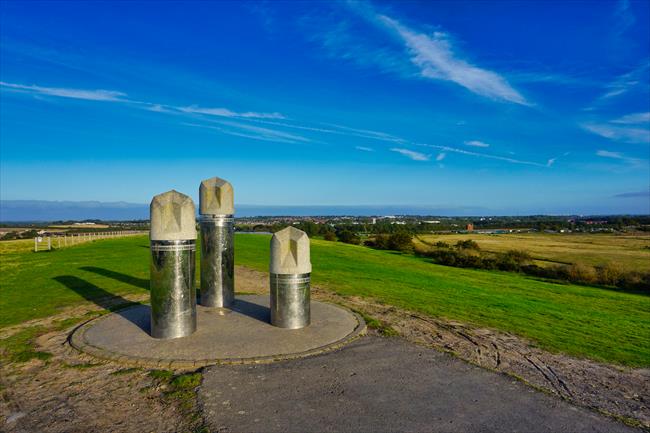
Linear walk between Wansbeck Rd and South Gosforth Metro stations
Leafy Gosforth is one of Newcastle’s loveliest suburbs. This walk explores some of the green spaces at the edge of the city, and snoops round the vast new suburbia that’s growing up to the north west.
- Difficulty:
- Easy
- Distance:
- 10.9 miles

Embleton Bay, Northumberland - Castles and Kippers
Circular Craster to Low Newton by- the-Sea, via Dunstanburgh Castle. Gentle coastal paths crossing low cliffs, sandy beaches and dunes.
- Difficulty:
- Moderate
- Distance:
- 7.7 miles
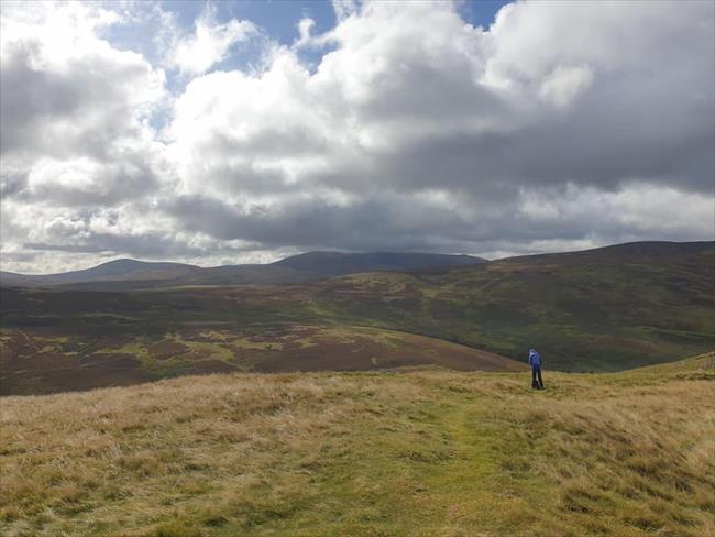
A couple of hillforts in the Cheviots, Northumberland
A beautiful walk, seeped in history through the Cheviot Hills with extensive views in all directions. Some stiff climbs, particularly at Yeavering Bell, but more than worth it for the gorgeous view over to the Cheviot and the Northumbrian coast
- Difficulty:
- Moderate
- Distance:
- 9.7 miles
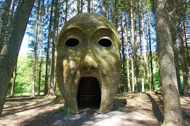
Kielder Castle to the ‘Silvas Capitalis’ sculpture
The Kielder Lakeside Way runs 26 miles around the shore of Kielder Water – the largest man-made lake in Northern Europe. It’s dotted with sculptures and fun art installations, and a shorter stretch makes a great child-friendly day out.
- Difficulty:
- Easy
- Distance:
- 6.5 miles
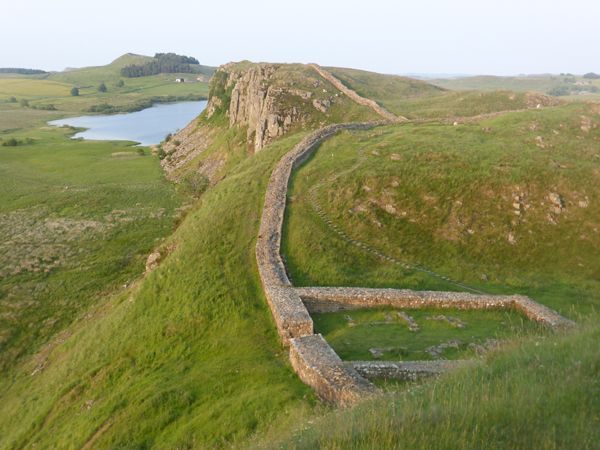
Hadrian’s Wall, Northumberland
A 10-mile circular walk from Steel Rigg along Hadrian’s Wall Path via Housesteads, Vindolanda and Winshield Crags, the highest point on the wall.
- Difficulty:
- Moderate
- Distance:
- 10.6 miles
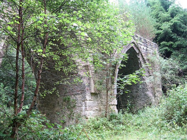
Slaley, Devil's Water and Embley Fell. Northumberland
A lovely walk through different landscapes in South Northumberland. Pleasant field paths lead down to the valley of the Devils Water before a climb up and out onto the moors before returning through Slaley Forest.
- Difficulty:
- Moderate
- Distance:
- 11.6 miles
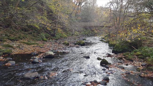
Slaley and Devil's Water
A lovely rural walk through farmland and woods in South Northumberland.
- Difficulty:
- Moderate
- Distance:
- 9.4 miles
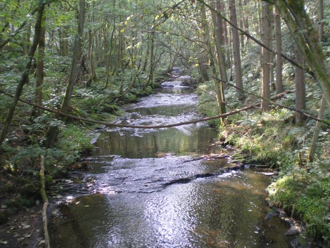
Slaley, Dipton Wood and March Burn, Northumberland
A lovely walk through varied woodland, countryside and deep valleys around Slaley in southern Northumberland.
- Difficulty:
- Moderate
- Distance:
- 9.7 miles
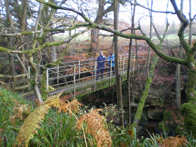
Slaley, Devil's Water and Slaley Forest, Northumberland
A beautiful walk around Slaley in Northumberland, going up the valley of the Devil's Water and through Slaley Forest.
- Difficulty:
- Moderate
- Distance:
- 9.0 miles