Search Results
- Showing results:
- 30 of 105 (ordered by proximity)
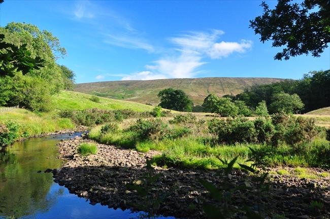
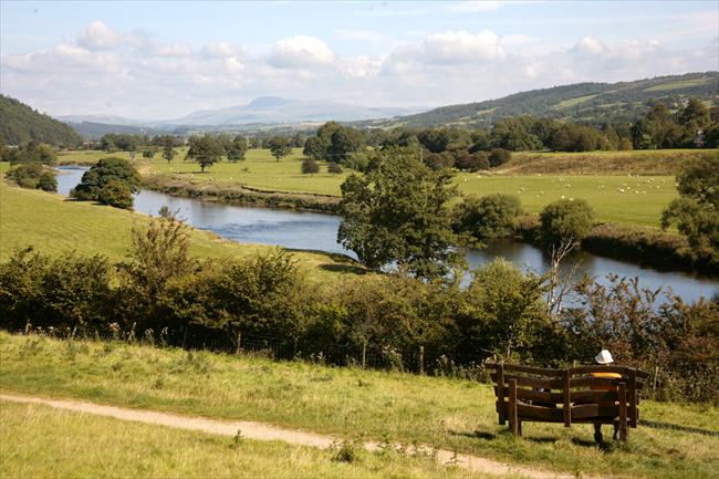
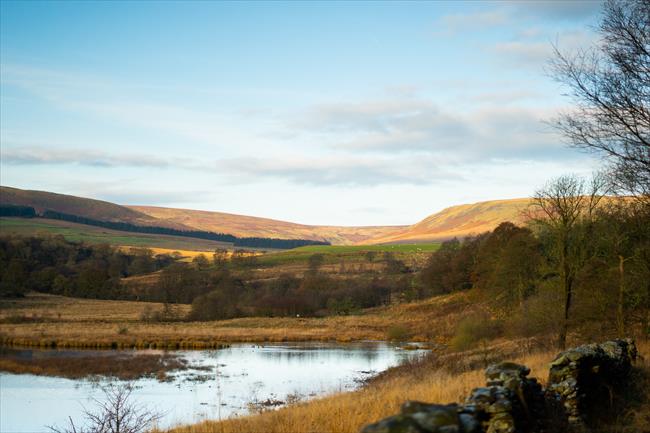
Wyresdale, Lancashire
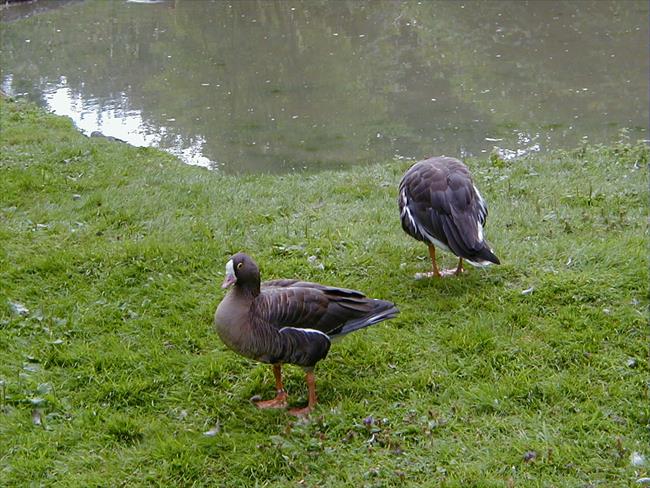
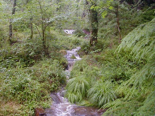
Follow lanes and estate roads to explore the fringes of the mighty Bowland Fells in Lancashire's most remote landscape. The high tributaries of the Wyre host countless wild birds; this low-level walk skims scenic moors, becks & woods below the tops.
- Difficulty:
- Moderate
- Distance:
- 6.9 miles
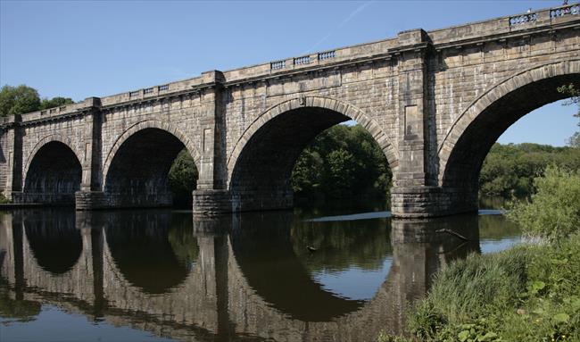
Galgate via Glasson Dock and Lune Aqueduct, Lancashire
A long circular walk from Galgate near Lancaster that takes in Glasson Dock and the Lune Aqueduct. This pretty canalside walk links a stretch of the Lancashire Coastal Path with the towpath of the Lancaster Canal.
- Difficulty:
- Moderate
- Distance:
- 16.9 miles
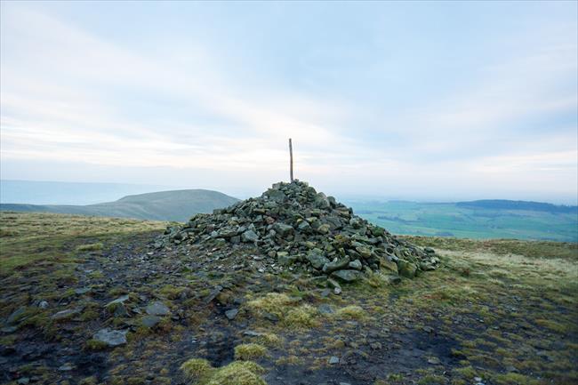
Parlick to Fair Snape - Ridge, Fell & Fields, Forest of Bowland
A route with an initial steep climb up Parlick Pike before crossing a wide moorland ridge to Fair Snape Fell, with panoramic views along the way.
- Difficulty:
- Strenuous
- Distance:
- 5.4 miles

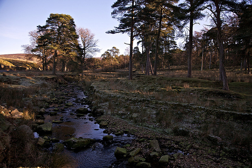
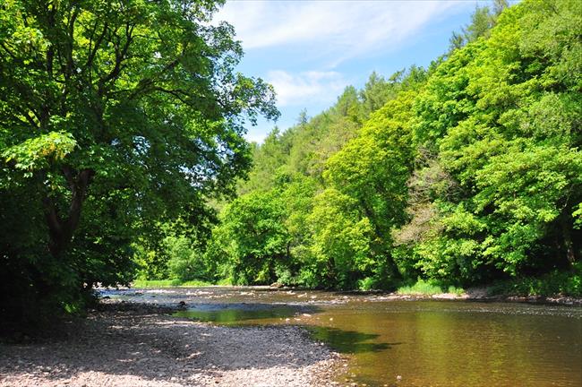
Hodder Valley circular. Lancashire
A walk in the valley of the River Hodder below the fells on good footpaths through farmland and some access land. There are two river crossings by stepping stones and about 1,600 feet of mainly gentle ascent.
- Difficulty:
- Moderate
- Distance:
- 10.9 miles
Forest of Bowland, Lancashire
A circular moorland walk from Dunsop Bridge in the Forest of Bowland AONB, brimming with wildlife and history at the epicentre of Great Britain.
- Difficulty:
- Strenuous
- Distance:
- 13.4 miles

Dunsop Bridge & River Hodder, Forest of Bowland
A pleasant stroll along the River Hodder from the village of Dunsop Bridge, via a series of unusual bridges and sheep-filled pastures with views of the fells.
- Difficulty:
- Leisurely
- Distance:
- 2.5 miles
Circular walk from Halton to Crook O’ Lune and beyond, Lancashire
At various points in its history the River Lune has been a hive of industry and a destination for artists. Turner famously painted the bend in the river, the Crook O’ Lune. Today, the mills have gone but the river still has a picturesque beauty.
- Difficulty:
- Leisurely
- Distance:
- 5.5 miles
Hurst Green, Lancashire
From tranquil Hurst Green, this ramble proceeds via Stonyhurst College through woodlands and fields with sweeping views to shapely Pendle Hill. Passing a memorable packhorse bridge, a glorious riverside stretch precedes a wooded return to the village
- Difficulty:
- Moderate
- Distance:
- 7.0 miles
Mellor 6 - Buttler's View and Stanley House. Lancashire
Buttler's View, Nab's Head, Woodford then Stanley House.
- Difficulty:
- Leisurely
- Distance:
- 6.8 miles
Mellor 7 Osbaldeston Hall & River Ribble. Lancs
Route past villages of Osbaldeston to River Ribble then Balderstone and back to Mellor. The area is brilliant in Spring or early summer with birdlife. There are numerous species along this stretch of riverbank. inc. swallows/swifts/sandmartins.
- Difficulty:
- Moderate
- Distance:
- 8.0 miles
Mellor 4 - Circular Nabs Head and Balderstone, Lancs
A Circular Route around Samlesbury Aerodrome, via Nab's Head and Balderstone.
- Difficulty:
- Moderate
- Distance:
- 9.1 miles
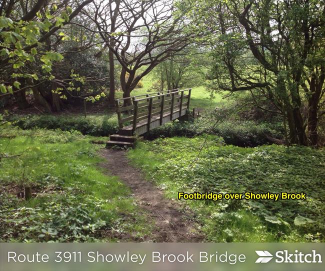
Mellor 2 - to Brownhill Walk via Showley Brook., Lancs
From Mellor to Brownhill and around Showley Brook Valley.
AN ALTERNATIVE ROUTE TO BROWNHILL
- Difficulty:
- Strenuous
- Distance:
- 8.2 miles
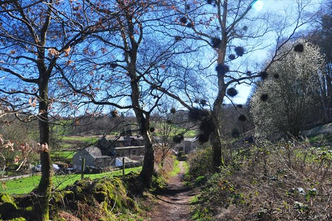
Mellor 1 - A Short Discovery Walk with a bit of history.
A Short Village Walk around Mellor and Saccary Lane.
A SHORT VILLAGE DISCOVERY WALK
- Difficulty:
- Moderate
- Distance:
- 3.2 miles
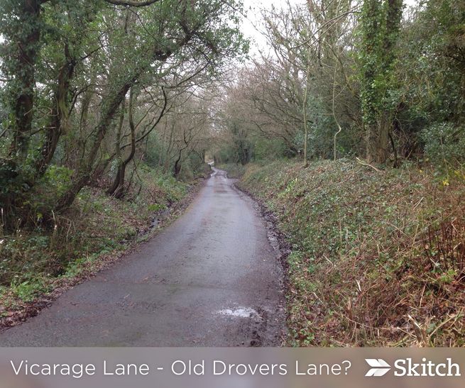
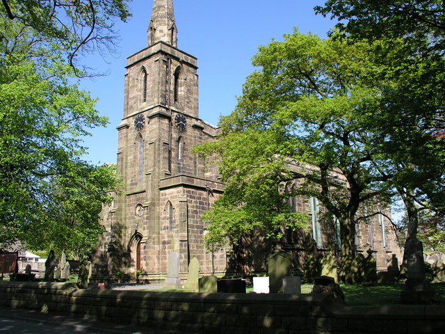
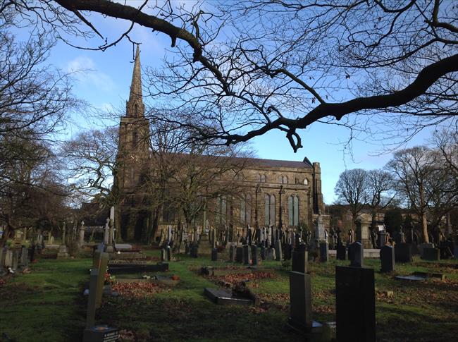
Wilpshire Circular 3901
Easy circular walk Starting at St Peter's Church Salesbury, past Cricket pitch along Vicarage Lane over railway to Whalley New Road then back over Wilpshire tunnel and return to Salesbury.
- Difficulty:
- Leisurely
- Distance:
- 3.2 miles
Stocks Reservoir Circular, Forest of Bowland
A circular route exploring the Forest of Bowland AONB via Gisburn Forest, open moorland with views of Stocks Reservoir, and a return closer to the water’s edge.
- Difficulty:
- Moderate
- Distance:
- 6.9 miles
Showley Brook Circular. Start at Ramsgreave Station.
An interesting short family walk with good views of countryside. Route passes close to "China Town" which was abandoned in 1980's. Also passes a traditional Sewage treatment Works! Starts at Ramsgreave & Wilpshire Railway Sta.
- Difficulty:
- Moderate
- Distance:
- 2.7 miles
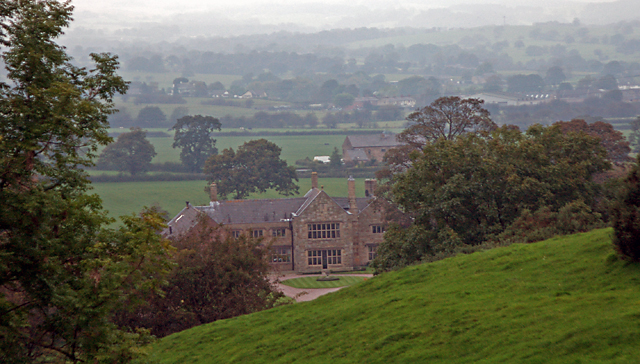
Hoghton and Darwen Gorge, Lancashire
From Hoghton thread down to Hoghton Bottoms viaduct and the spectacular wooded Darwen Gorge, dappled with industrial heritage. A riverside course precedes the Leeds & Liverpool Canal towpath before rising to Hoghton Tower estate and generous views
- Difficulty:
- Leisurely
- Distance:
- 5.5 miles

Hoghton and Darwen Gorge, Lancs
Leisurely walk from Hoghton along the River Darwin and the Leeds & Liverpool Canal
- Difficulty:
- Leisurely
- Distance:
- 5.5 miles
Bangor St to Leeds/Liverpool Canal
This walk was part of a set originally designed for Bangor St walking group. This is a short walk to the Leeds/Liverpool canal, one of the groups more popular walks!
- Difficulty:
- Easy
- Distance:
- 2.4 miles
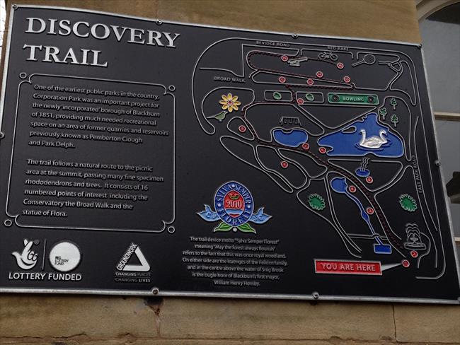
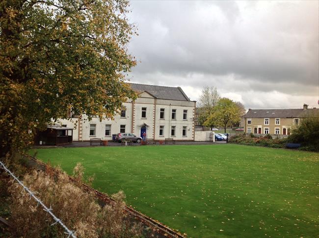
Bangor St to Corporation Park
This walk was a set originally design for the Bangor St walking group! This one goes into Corporation Park. Once you are in Corporation Park there's loads of exploring to do! - This walk includes the lake and heads back to fit into an hour!
- Difficulty:
- Easy
- Distance:
- 2.0 miles
Bangor St Community Centre to Little Harwood and back.
Short easy walk from Bangor Street up to Little Harwood.
Includes several interesting buildings inc; 17th c Little Harwood Hall. 2.76km (1.71 miles)
- Difficulty:
- Easy
- Distance:
- 1.7 miles
Bangor Street to Limbrick
This walk was part of a set for the Bangor St walking group. This was the first walk so the shortest and easiest which goes down to Limbrick.
- Difficulty:
- Easy
- Distance:
- 1.4 miles
![At Way Point [8], take the footpath after the school!](https://www.ramblersroutes.org/uploads/7624/e035efd6-2b5e-4856-96aa-8b7d39146ee2.jpg)
Bangor St to The Museum
This walk is part of a set designed for Bangor St walking group!
It is a short walk down to Blackburn Museum.
- Difficulty:
- Easy
- Distance:
- 1.9 miles
Bank Top Community Walks - Under Billinge Wood & Witton Park.
Starts off with walking through streets but then enters countryside with woodland walk past Under Billinge Hill then through woodland near Witton Park. Includes a "short cut" if necessary.
- Difficulty:
- Leisurely
- Distance:
- 3.7 miles

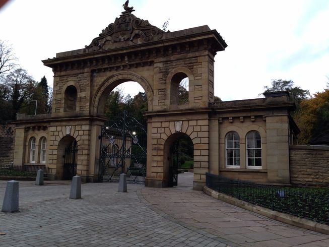
Bank Top Community Walks - Walk around Collage Campus
A Medium 2 mile Walk through Blackburn Campus (St Paul's Garden) then Corporation Park around the lake returning back similar route. The walk can be cut short by omitting the park bit. Includes Historic Old Mill Building on Devonport Road.
- Difficulty:
- Leisurely
- Distance:
- 2.1 miles
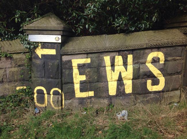
Bank Top Community Walks to EWS Sign!
A short walk along Bank Top to Buncer Lane and back. Includes an alternative walk on rough ground for those who are adventurous.
- Difficulty:
- Easy
- Distance:
- 1.4 miles
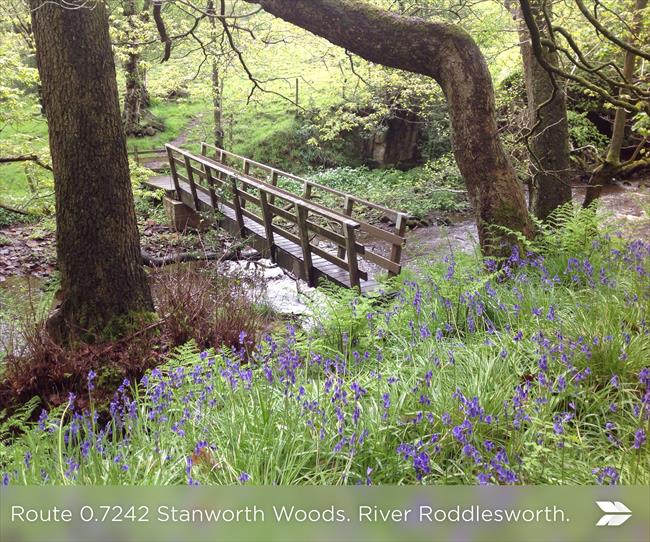
Witton Park, River Darwen and Roddlesworth, Lancashire
A circular walk around River Darwen, Roddlesworth and back to Witton Park following parts of the Witton Weaver's Way.
- Difficulty:
- Moderate
- Distance:
- 11.9 miles
Blackburn with Darwen Lunchtime Walk 1
A short walk up to Corporation Park.
- Difficulty:
- Easy Access
- Distance:
- 1.4 miles
Rita's Lunchtime Walk
Alternative, historic lunchtime walk, avoiding much of the busy Preston New Road.
- Difficulty:
- Easy
- Distance:
- 1.5 miles