Search Results
- Showing results:
- 30 of 36 (ordered by proximity)
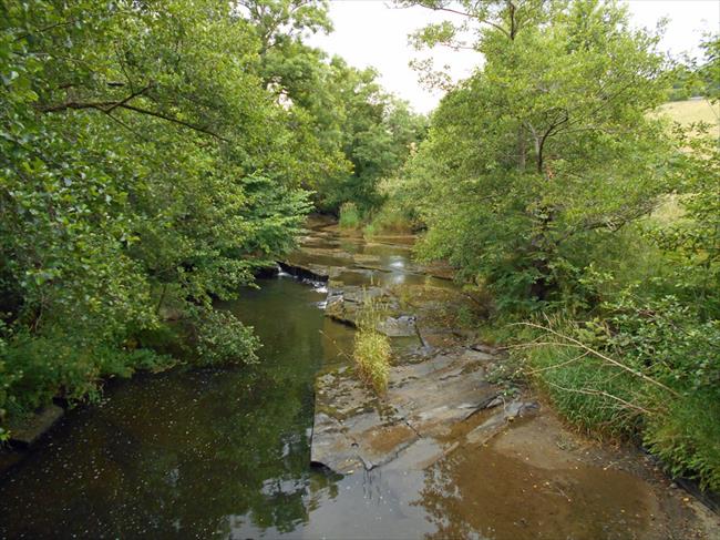
Hills around the Upper Edw Valley
A walk around the upper Edw Valley near Hundred House, with 3 ascents. Some nice old tracks, and superb views from the hills on a clear day.
- Difficulty:
- Moderate
- Distance:
- 9.1 miles
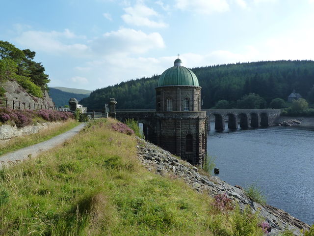
Elan Valley, Powys
Circular walk from Cwmdeuddwr (Rhayader) via Maen-serth, Crugyn Ci and the Elan Valley Trail. This walk combines the best of both worlds, heading up over the hills to start with and returning along the gentle Valley Trail.
- Difficulty:
- Leisurely
- Distance:
- 12.7 miles
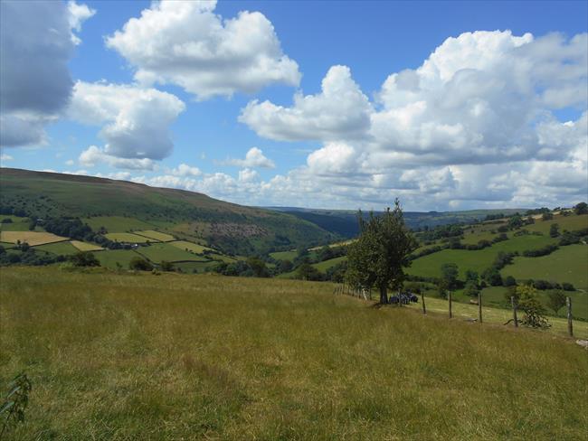
Lower Edw Valley Circular
A circular walk in the lower Edw valley, with two climbs and good views to the Black Mountains and Brecon Beacons to the South.
- Difficulty:
- Moderate
- Distance:
- 9.4 miles
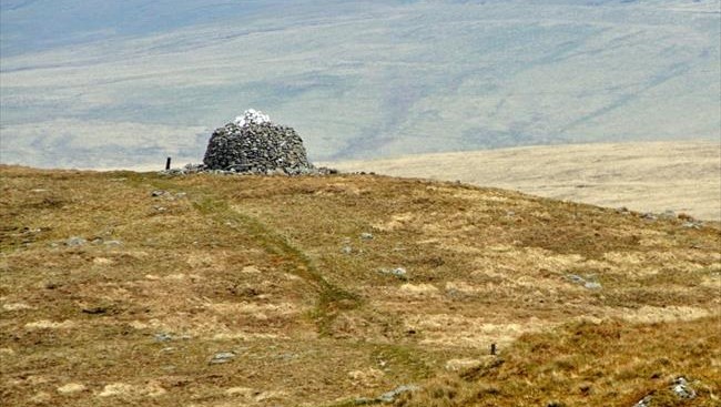
Cwm Gwesyn & Drygarn Fawr, Powys
This challenging walk visits the lonely top of Drygarn Fawr in the wild hills of Elenydd, where the summit is capped with two huge cairns. This is a walk for a fine day - the high moors are rough and boggy with some indistinct paths
- Difficulty:
- Strenuous
- Distance:
- 10.4 miles
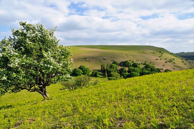
Bradnor Hill & Herrock Hill, Herefordshire
The market town of Kington nestles below high open hills and the glorious scenery represents the best of the Welsh Borders. Two breezy tops rise to the north and can be linked by a section of Offa’s Dyke Path before returning via sheltered valleys
- Difficulty:
- Moderate
- Distance:
- 8.3 miles
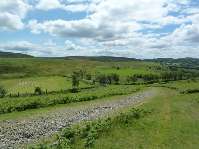
Felindre, Powys
A circular route from Felindre along part of Glyndwr’s Way, this moorland walk takes in Black Mountain and the Beacon Hill reserve.
- Difficulty:
- Moderate
- Distance:
- 12.2 miles
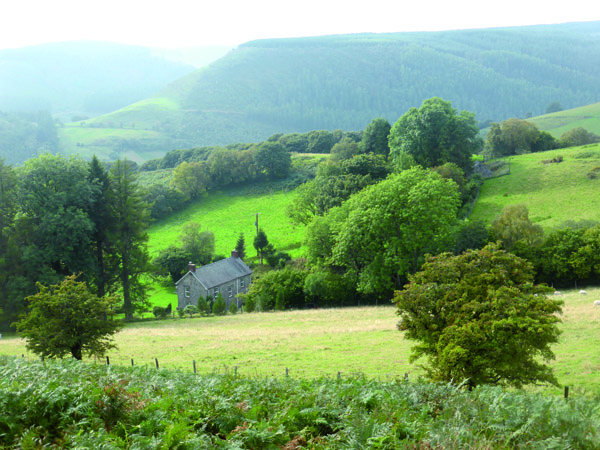
Llanwrtyd Wells, Powys
A special quality of remoteness characterises this area – the landscape largely a mix of upland plateaux and narrow valleys, where you can walk all day and not meet a soul. This route should whet your appetite.
- Difficulty:
- Leisurely
- Distance:
- 5.8 miles
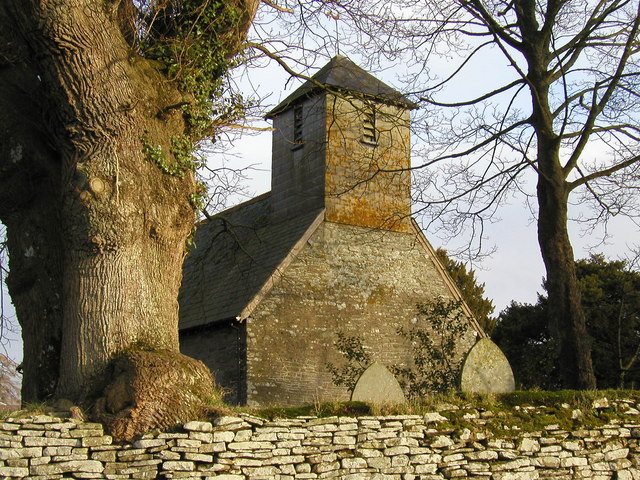
YHA Kington & The Hergest Ridge
Peaceful field paths lead to the beautiful little villages of Huntington and Gladestry. The return route follows a spectacular stretch of the Offa's Dyke National Trail over the Hergest Ridge with amazing views in all directions.
- Difficulty:
- Strenuous
- Distance:
- 11.6 miles
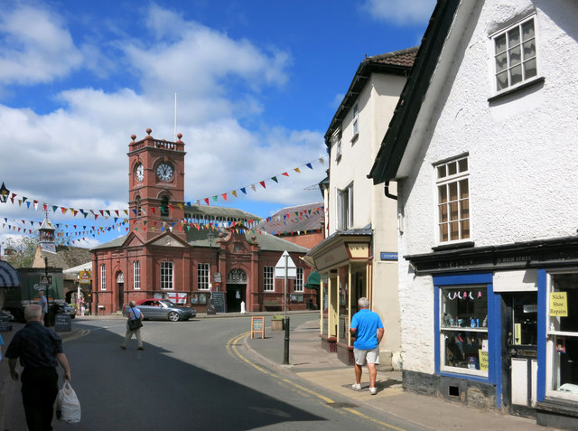
YHA Kington. Over Ashmoor.
A pleasant short walk following some peaceful footpaths and lanes, typical of the area, along a stretch of the Herefordshire Trail and over Ashmoor hill to the south of this little border town.
- Difficulty:
- Moderate
- Distance:
- 3.5 miles
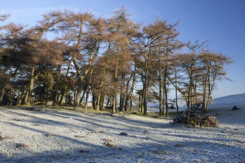
Kerry Ridgeway, Powys
An easy going linear walk along a section of The Kerry Ridgeway, passing through woods, following quiet country lanes and crossing sheep-clipped pastures and bilberry heaths. Excellent views to be had on a clear day.
- Difficulty:
- Leisurely
- Distance:
- 14.7 miles
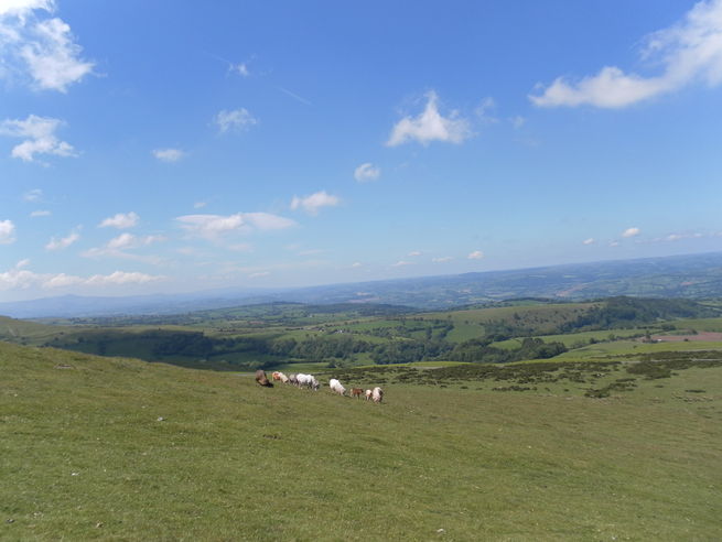
Hay-on-Wye, Powys
Circular walk from Hay Bridge, along the River Wye, returning via Clyro. This leisurely walk takes in some wonderful views of the Wye Valley and the historic village of Clyro. Unsurfaced footpaths, roadsides and tracks with numerous stiles and gates.
- Difficulty:
- Leisurely
- Distance:
- 5.5 miles
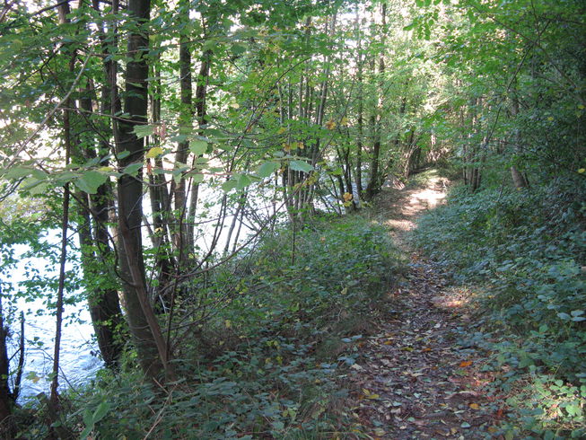
Titley, Herefordshire
A circular walk through the beautiful, undulating landscape of North West Herefordshire, featuring pools and rivers, trees and birds and a relic of the steam age
- Difficulty:
- Moderate
- Distance:
- 6.5 miles
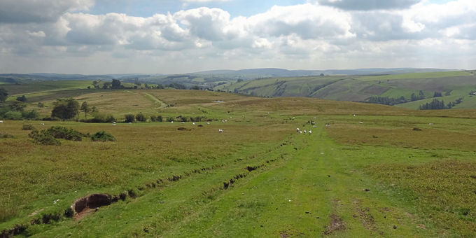
Kerry Ridgeway and Cilfaesty Hill, Powys
A route linking ancient trackways that cross the hills on the Welsh border south of Kerry. The area can be bleak in bad weather but on a clear day there are breath-taking views over much of central Wales. Watch out for red kites circling above.
- Difficulty:
- Moderate
- Distance:
- 8.7 miles
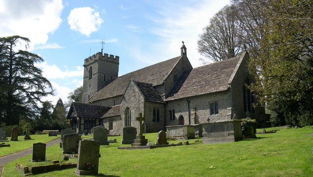
Roots and Routes, a walk around Lyonshall, Herefordshire
This is one of the largest parishes in Herefordshire. First mentioned in the Domesday Book 1086 as Lenehalle, it appears that it was already a reasonably substantial Saxon settlement. It occupied an important strategic site on the Welsh borders.
- Difficulty:
- Moderate
- Distance:
- 4.2 miles
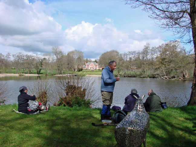
Eardisley Circular
An easy circular walk through farmland with interesting features and good views of the Herefordshire countryside. Starts and ends in the village of Eardisley. Grid Ref. SO 310 496.
- Difficulty:
- Moderate
- Distance:
- 7.6 miles
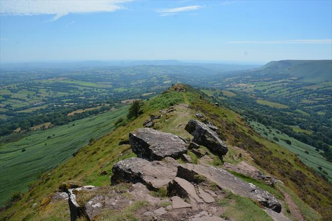
Hay Bluff and the Cat’s Back
The Black Mountains mark the eastern edge of the Bannau Brycheiniog. This walk traces the easternmost ridge of the hills, climbing Hay Bluff and Black Hill before descending the narrow spine of the Cat’s Back into the peaceful Olchon Valley.
- Difficulty:
- Moderate
- Distance:
- 9.4 miles

Lingen - Kinsham Circular, Herefordshire
A rural walk through farmland and estates, starting and finishing in the pretty village of Lingen, Herefordshire.
- Difficulty:
- Moderate
- Distance:
- 8.6 miles
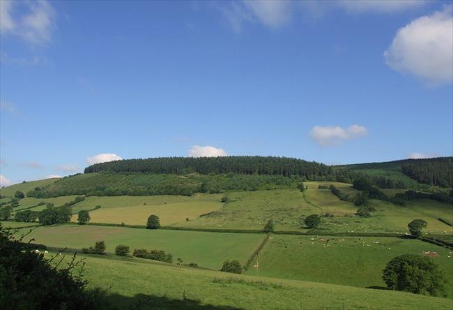
Black Hill, Clun, Shropshire Hills
Circular hill and forest walk above the town of Clun in Shropshire, which winds its way up Black Hill and offers glorious views of Long Mynd and the Stiperstones.
- Difficulty:
- Strenuous
- Distance:
- 5.7 miles
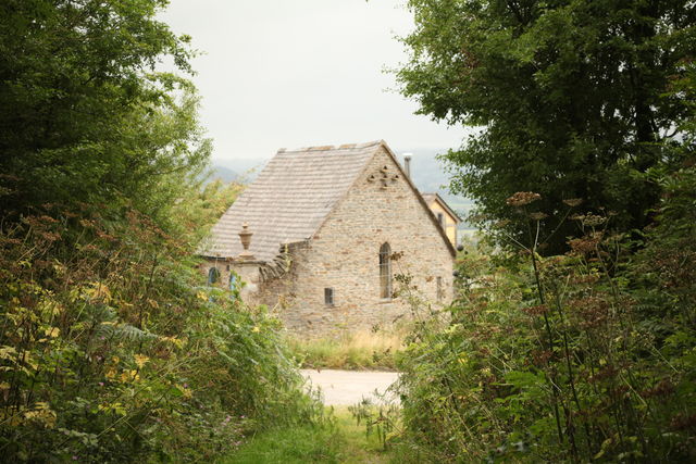
YHA Clun Mill. Woods and Clunton
A circular walk around the Clun Valley visiting Clunton and returning via Soudley Wood.
- Difficulty:
- Moderate
- Distance:
- 7.8 miles
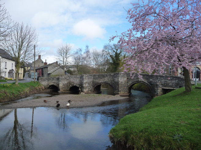
Clun, Shropshire
Circular walk from Clun along stretches of the Shropshire Way and Offa’s Dyke Path, via the Cefns and Llanfair Hill. Taking in the Shropshire Hills AONB and local historical sites. Well-marked paths over rolling hills and some quiet country lanes.
- Difficulty:
- Moderate
- Distance:
- 15.3 miles
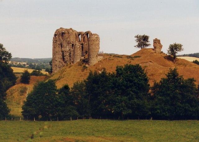
YHA Clun Mill To the castle, church & ford
A pleasant short walk around the outskirts of Clun village, visiting the ruined castle, the ancient bridge, the church and the ford before returning to the hostel.
- Difficulty:
- Easy
- Distance:
- 1.6 miles
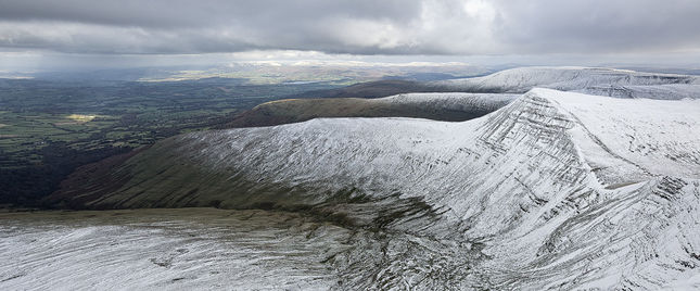
Pen-y-Fan, Powys - Top of the Range
A linear walk over spectacular mountain terrain with views north to Shropshire and south to Exmoor on unsurfaced tracks and grassy mountain paths.
- Difficulty:
- Strenuous
- Distance:
- 10.4 miles
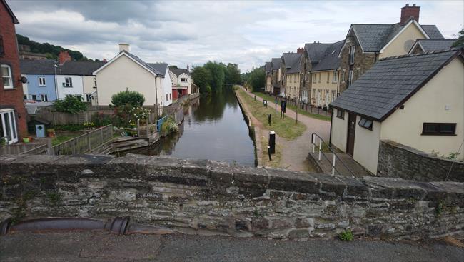
From Brecon to Groesffordd between waterways, & back by holloway.
From Brecon, walk along the Mon and Brec canal, with views across the river Usk to the Beacons. Turn off to Groesffordd, where there is a good pub, and continue on a quiet country road. Finally, take a sunken lane between the fields back to Brecon.
- Difficulty:
- Leisurely
- Distance:
- 5.1 miles
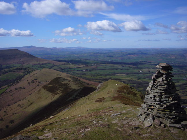
Black Mountains, Brecon Beacons
Circular walk from Pengenffordd (nr Talgarth) via Y Grib and Waun Fach. Considered to be the best ridge walking in the area with superb viewpoints along the way from the site of one of the highest castles in the country and the Black Mountains.
- Difficulty:
- Strenuous
- Distance:
- 7.0 miles
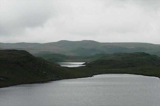
Strata Florida, Ceredigion
Circular walk from Pontrhydfendigaid, visiting the ruins of Strata Florida abbey and the Teifi Pools.
- Difficulty:
- Moderate
- Distance:
- 9.2 miles
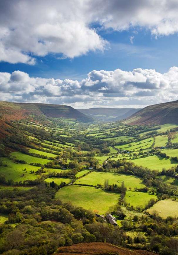
Capel-y-Ffin, Monmouthshire - On the Black Hills
Following old drove tracks, this route climbs from the sheltered floor of the valley at Capel-y-ffin to windswept, bleak hilltops. Having reached Offa’s Dyke Path, choose between carrying on via the ridge, or a foray down into the Olchon Valley.
- Difficulty:
- Moderate
- Distance:
- 10.7 miles
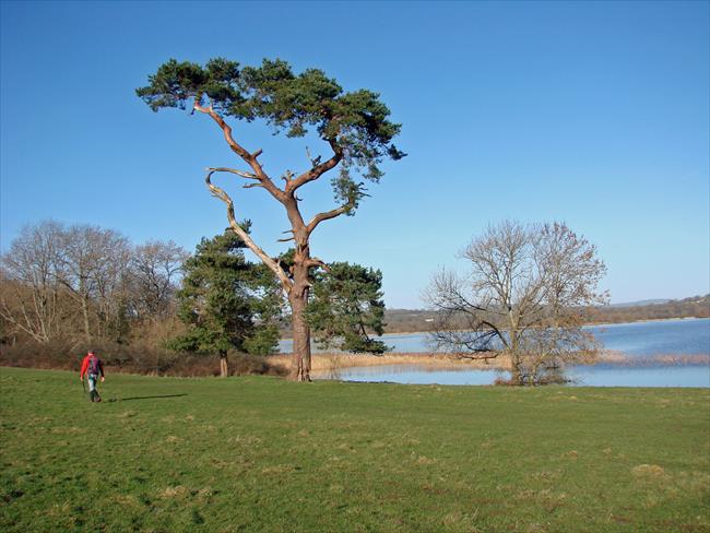
Llangasty Church, Allt yr Esgair, Mynydd Llangorse
An energetic hill walk from Llangasty Church by Llangorse Lake in the Brecon Beacons National Park. Brilliant views from Allt yr Esgair and Mynydd Llangorse on a good day.
- Difficulty:
- Strenuous
- Distance:
- 10.8 miles
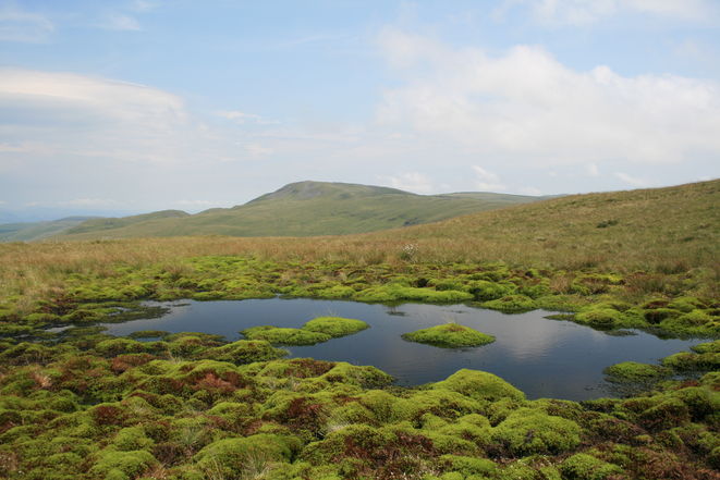
Pumlumon, Ceredigion
Circular walk from Eisteddfa Gurig via Pumlumon, the regions highest mountain and the source of 3 rivers. The route then passes along the Afon Hengwm valley adding variety by way of Nant-y-moch reservoir and forests.
- Difficulty:
- Strenuous
- Distance:
- 17.5 miles
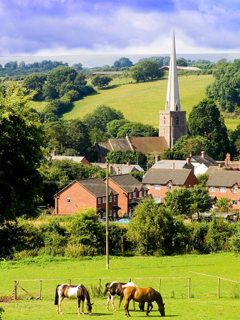
The Peterchurch Trail, Herefordshire
A walk from Peterchurch situated in the Golden Valley and the foothills of the Black Mountains. This moderate walk merely samples the possibilities on offer.
- Difficulty:
- Moderate
- Distance:
- 7.0 miles
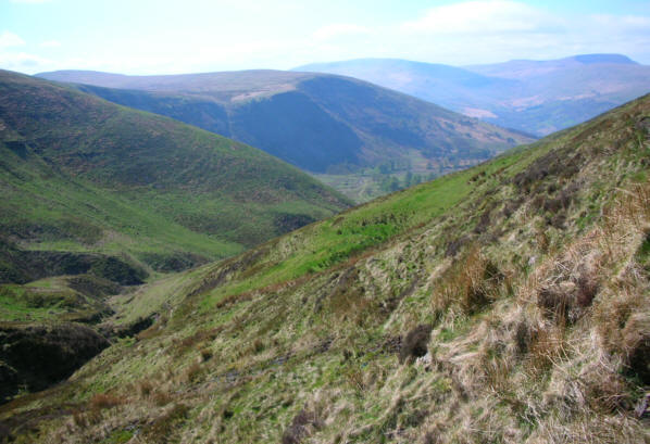
Libanus, Fan Frynych and Cwm-du or Lorna Doone Valley, Wales
Starting at a visitor centre the walk climbs to Fan Frynych before descending into the delightful Cwm-du that was used in the filming of Lorna Doone. Return via the nature reserve of Traeth Moor. In addition to fine views, Red Kites may be seen.
- Difficulty:
- Strenuous
- Distance:
- 9.7 miles