Search Results
- Showing results:
- 18 of 18 (ordered by proximity)
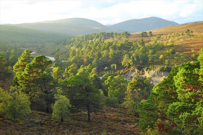
Mar Lodge circular, Cairngorms
A circular walk on Mar Lodge Estate, showcasing the landscape-scale restoration undertaken by the National Trust for Scotland. This varied walk takes in the River Dee, beautiful Caledonian woodland, and a stunning glacial cleft through the hills.
- Difficulty:
- Moderate
- Distance:
- 10.3 miles
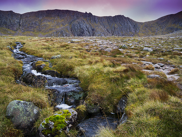
Cairngorm and Ben Macdui, Highlands
A circular walk from Coire Cas car park via Cairn Gorm and Ben MacDui with spectacular scenery and the chance to spot wildlife unique to this area.
- Difficulty:
- Strenuous
- Distance:
- 10.7 miles
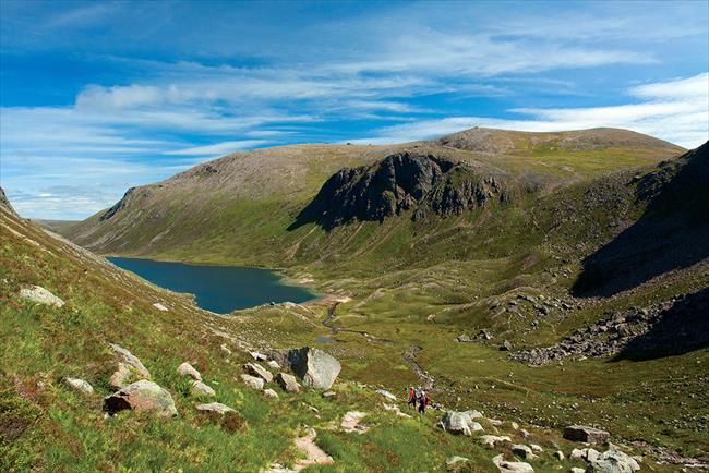
Loch Avon and Beinn Mheadhoin
A circular walk to Loch Avon and over Beinn Mheadhoin via some steep corries.
- Difficulty:
- Moderate
- Distance:
- 11.7 miles
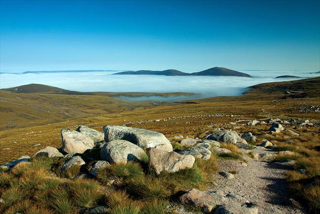
Ben Macdui & Creag an Leth Choin, Cairngorms
A circular walk over Ben Macdui and Creag an Leth-choin. Paths are generally clear although the route does cross some short, pathless sections plus some bouldery ground. Ben Macdui's summit is vast and can be confusing in poor visibility.
- Difficulty:
- Strenuous
- Distance:
- 12.2 miles
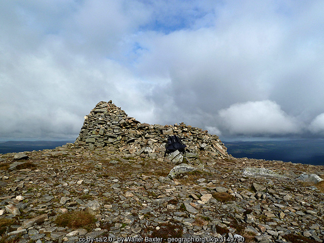
Meall a'Bhuachaille, Glenmore Forest Park
A short climb up Meall a' Bhuachaille from Glenmore Forest Park giving fine views over Abernethy Forest, the Cairngorm plateau, Loch Morlich and Aviemore.
- Difficulty:
- Strenuous
- Distance:
- 5.4 miles
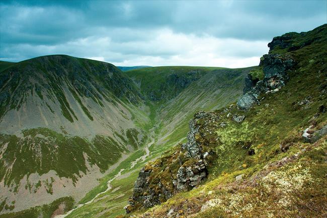
Moine Mhor and Mullach Clach a’ Bhlair
A circular walk across Moine Mhor and the Munro of Mullach Clach a’ Blair before the return journey heads through Glen Feshie
- Difficulty:
- Strenuous
- Distance:
- 14.5 miles
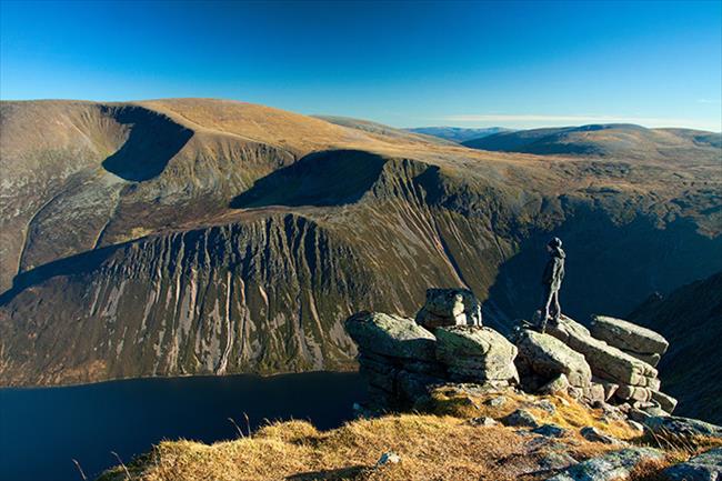
Sgoran Dubh Mor and Sgor Gaoith
An exceptional Cairngorms walk that also crosses the mountains of Sgoran Dubh Mor and Sgor Gaoith as well as passing through gorgeous Invereshie and Inshriach National Nature Reserve. The views are outstanding
- Difficulty:
- Strenuous
- Distance:
- 11.0 miles
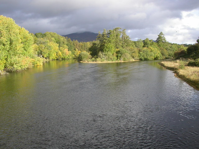
The Badenoch Way, Cairngorms.
The varied Badenoch Way leads from Dalraddy, following the River Spey for much of the way. The route reaches the RSPB reserve at Invertromie overlooking the Insh Marshes and continues past Ruthven Barracks to Kingussie.
- Difficulty:
- Strenuous
- Distance:
- 12.2 miles
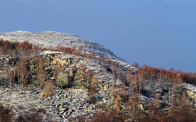
Craigellachie National Nature Reserve, Highland
A woodland and hill walk through Craigellachie National Nature Reserve in Aviemore. Enjoy fabulous views across crags of lochans, the Cairngorms and beautiful birchwoods.
- Difficulty:
- Moderate
- Distance:
- 3.7 miles
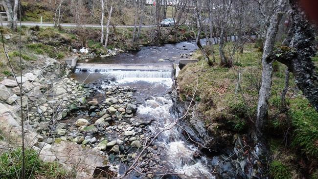
Gynack Mil, Kinguisse
This short, easy walk follows the Gynack Burn to explore the history of Kingussie. It can be linked to the Creag Bheag and Tom Baraidh route to make a much longer walk.
- Difficulty:
- Easy
- Distance:
- 1.4 miles
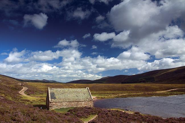
Loch Muick, Aberdeenshire
A walk around Loch Muick is one of the finest in Royal Deeside.Part of the Cairngorms National Park, Loch Muick is hemmed in on three sides by mountains, so there are magnificent views and a broad variety of wildlife to look out for along the way
- Difficulty:
- Leisurely
- Distance:
- 7.4 miles
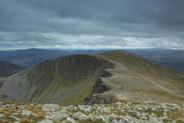
Lochnagar, Aberdeenshire
Hillwalk from Glen Muick over Lochnagar in Aberdeenshire. A classic mountain walk with dramatic cliffs and poetic views. Some pathless sections near the summit, and several steep ascents and descents along cliffs where care should be taken.
- Difficulty:
- Strenuous
- Distance:
- 12.3 miles
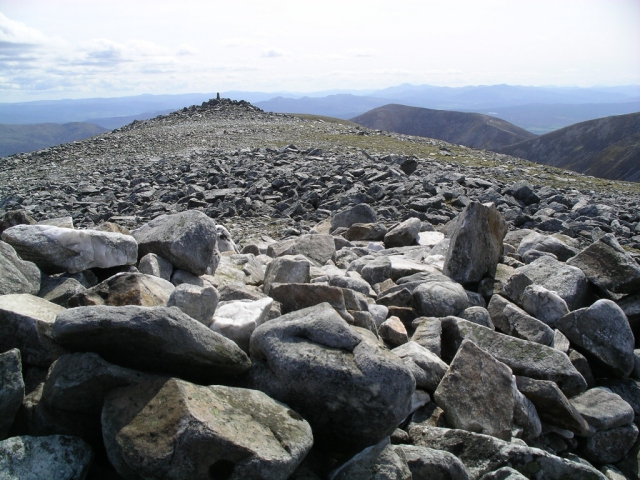
Beinn a' Ghlo, Perth and Kinross
A challenging route over three Munros (and one associated top) with the possibility of outstanding views all round (These are 'the Misty Mountains' however).
- Difficulty:
- Strenuous
- Distance:
- 13.4 miles
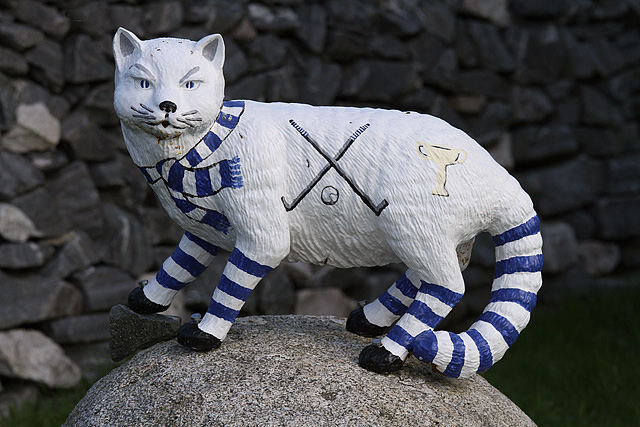
Wildcat trail around Newtonmore, Inverness-shire
The Wildcat Trail is a circular route around Newtonmore taking in the banks of the River Spey, open heather moorland, wooded glens and lively streams.
- Difficulty:
- Moderate
- Distance:
- 6.5 miles

Grantown-on-Spey, highland circular
Mountain views and birdsong rich woods are all part of this short and relatively simple walk from elegant Grantown-on-Spey. This circuit leads down again to the River Spey taking in pinewoods and a reed-fringed lochan on the way back into town.
- Difficulty:
- Easy
- Distance:
- 5.7 miles
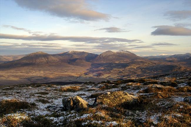
Ben Vrackie, Perthshire
A climb to the summit of Ben Vrackie, above Pitlochry, follows good paths for the whole route. The first part of the walk climbs steadily to Loch a'Choire before steep slopes reach the 841-metre summit. The return is by the route of ascent.
- Difficulty:
- Strenuous
- Distance:
- 5.5 miles
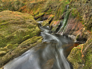
Glen Clova, Angus
Linear walk from Clova to Dykehead via Glen Clova valley. Part of the Angus Glens, this valley walk brims with wildlife, wonderful views and a chance to visit the house of JM Barrie. Some steep ascents with many stiles and gates along the route.
- Difficulty:
- Strenuous
- Distance:
- 12.1 miles
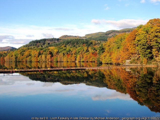
Pitlochry to Killiecrankie
The walk climbs out of Pitlochry towards Ben Vrackie before crossing the bealach towards Killiecrankie. There are fine views south on the way up and west and north on the descent to Killicrankie. It then follows the River Garry back to Pitlochry.
- Difficulty:
- Moderate
- Distance:
- 10.6 miles