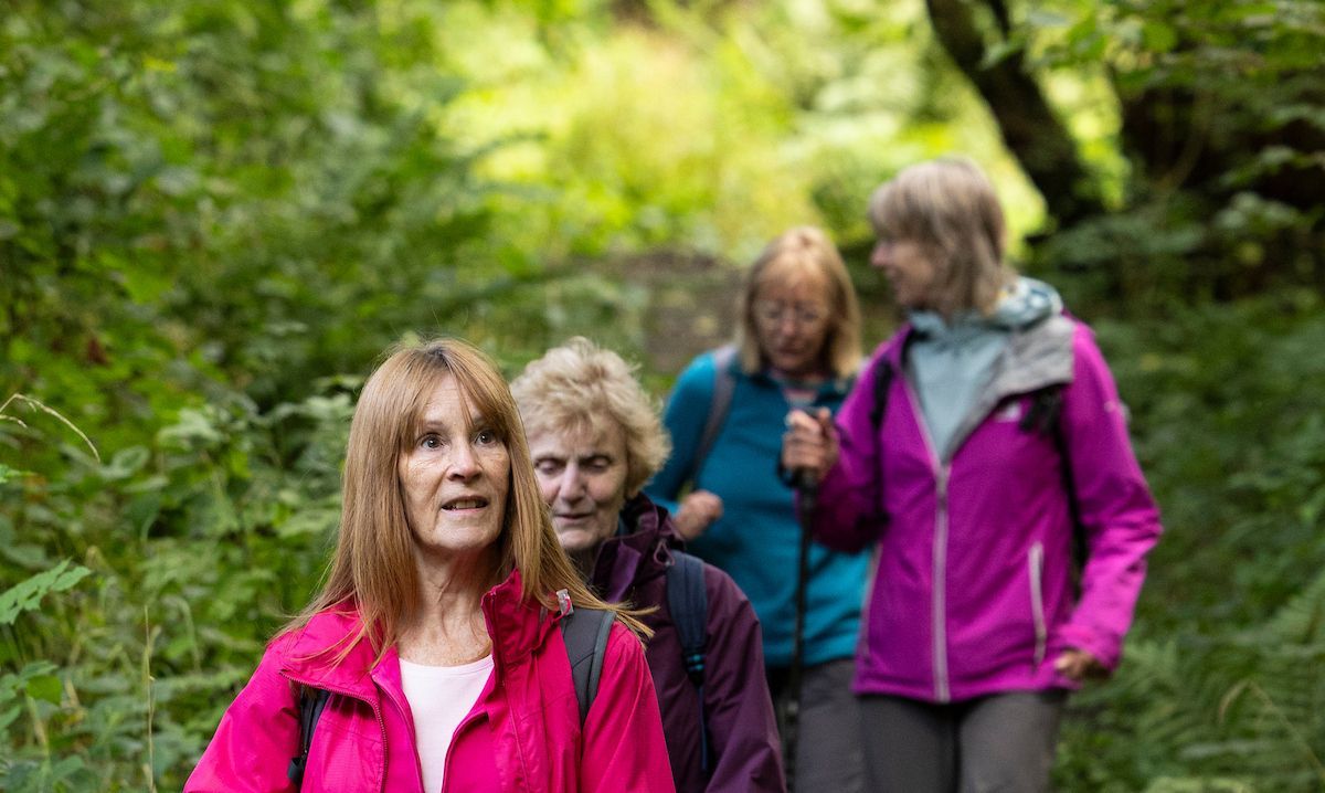
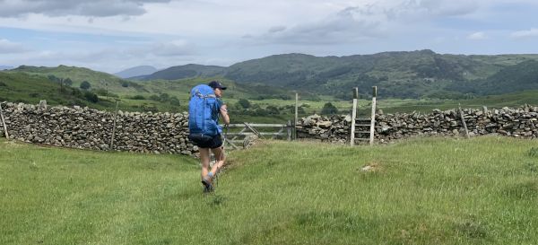
Explore 10 stunning stile-free walks
From East Lothian to Dorset, get out exploring with confidence that a stile won't stop you in your tracks
The Ramblers has found there is, on average, at least one stile for every mile of path across England and Wales – and the actual figure is likely to be much higher.
Stiles, and other physical barriers, stop 25% of people from using the path network, so we’re campaigning for them to be replaced with accessible alternative. But in the meantime, here are eight stile-free routes to help you explore without interruption.
Want to check out the route in more detail before heading out there? Just click on the image above each route to watch a short, 90-second video preview!

Potter around London's Royal Parks
Despite being in the heart of England’s capital, London’s Royal Parks provide a haven of green space and wildlife. And pelicans aren’t the only things you’ll be spotting on this 4.75-mile route; you’ll also pass by some of the city’s most recognisable landmarks, from the Houses of Parliament to Kensington Palace.
What you need to know
- Length: 4.75 miles
- Duration: 2.5 hours
- Navigation: Easy
- Terrain: Urban
- Suitable for wheelchair users

Chart your way from the canal to a Cheshire country mansion
Starting off on the Macclesfield Canal, our Cheshire route climbs a grassy ridge offering panoramic views and the chance to spot red deer, before continuing on to Lyme Hall, a vast country mansion sat below the towering moors. Stop for a quick brew in the onsite café before descending back down through tranquil woodland to the towpath where you started.
What you need to know
- Length: 4.25 miles
- Duration: 2.75 hours
- Navigation: Easy
- Terrain: Tracks, field paths and towpath
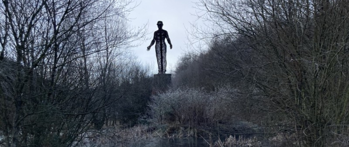
Gaze at the Guardian in Abertillery
(no video preview)
The 20-metre tall Guardian is a statue overlooking Parc Arael Griffin, the landscaped former site of the Six Bells Colliery. It’s the centrepiece of our Abertillery route. Started off in the park, our route takes you along the Ebbw river to Coed Argoed before returning along the other bank past the statue, built to commemorate the 45 miners who died in an underground explosion in June 1960.
What you need to know
- Length: 2.75 miles
- Duration: 1.3 hours
- Navigation: Easy
- Terrain: Tarmac pavement
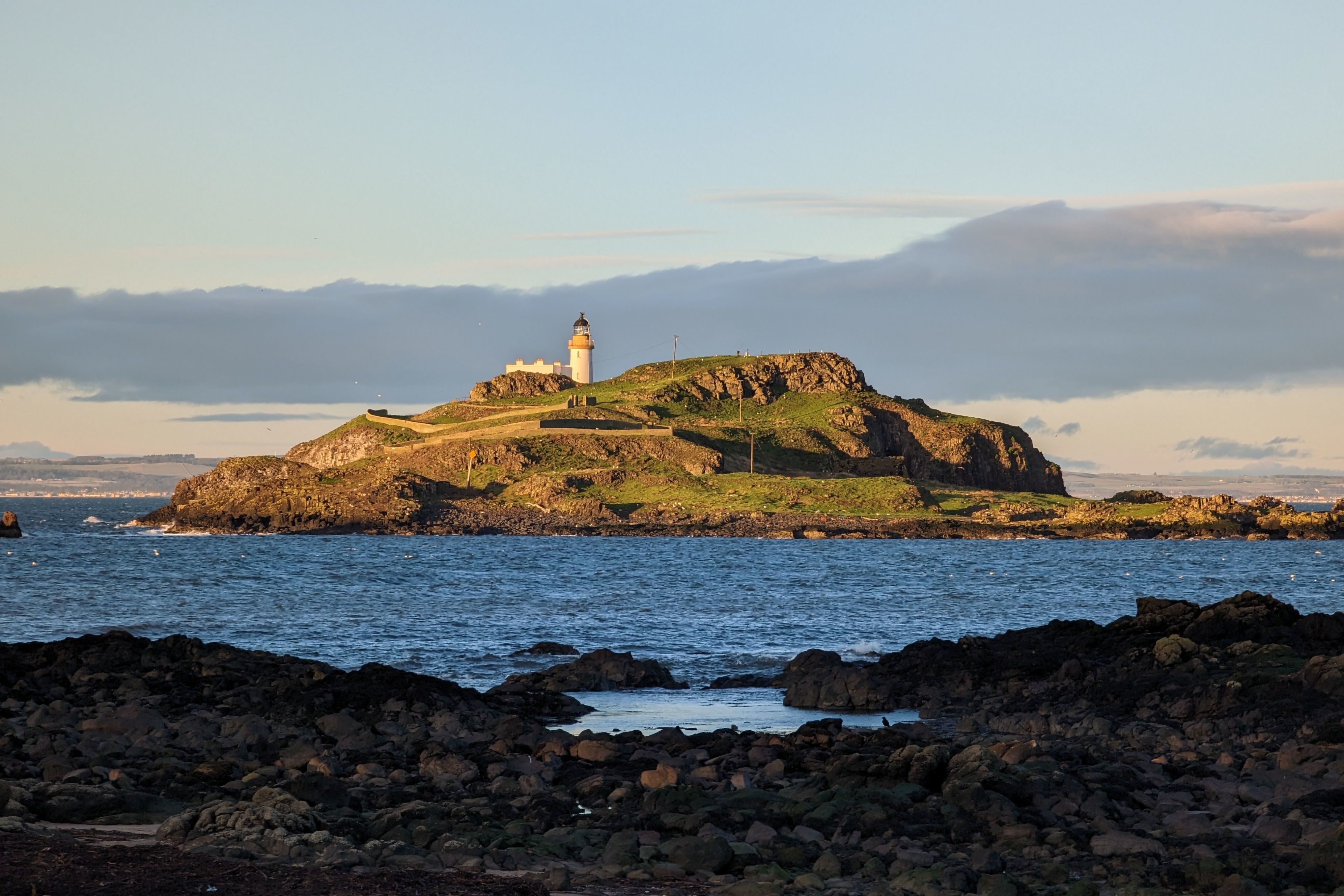
Bimble along the beach in East Lothian
Stroll along the perfect sand of Yellowcraig Beach with sweeping views out to the islands of Fidra, Craigleith and the mighty Bass Rock, home to the world’s largest colony of Northern gannets. And that’s not all – you’ll also pass the grand ruins of a castle in Dirleton, once besieged by Oliver Cromwell during the Third English Civil War.
What you need to know
- Length: 4.5 miles
- Duration: 2.5 hours
- Navigation: Easy
- Terrain: Coast, farm and village
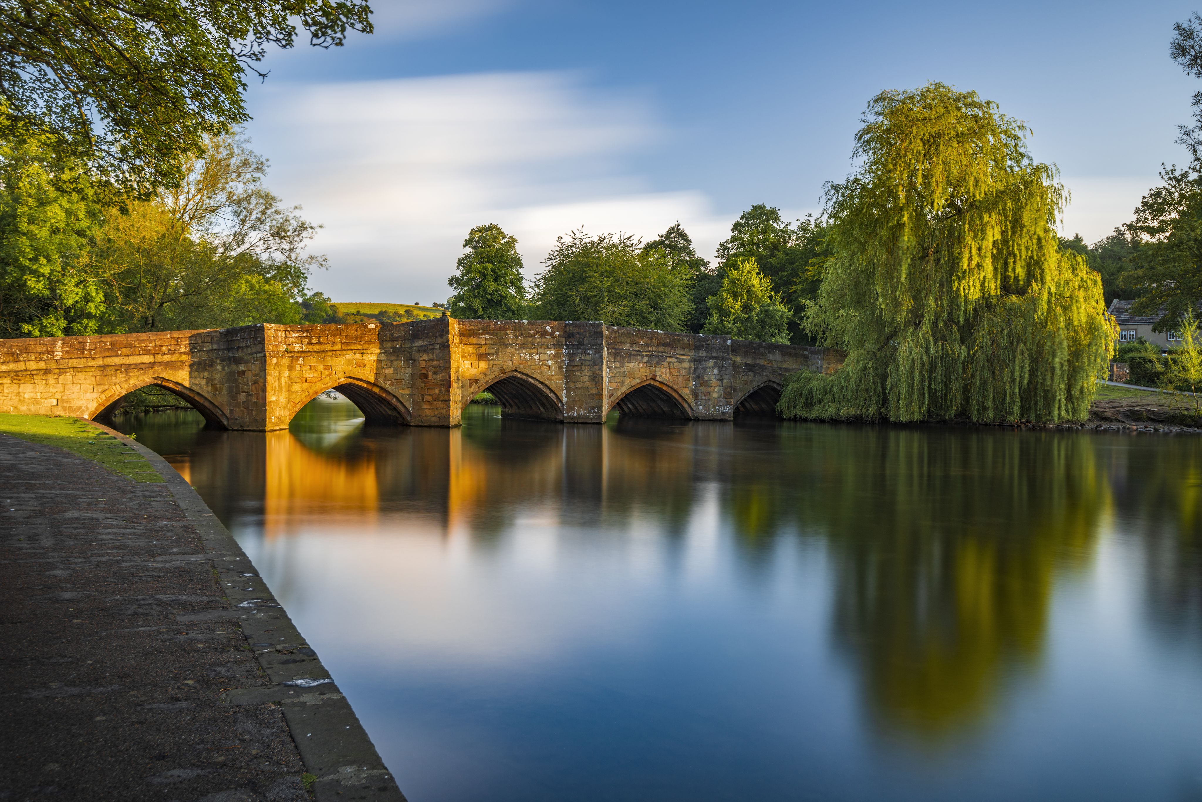
Meander along the Monsal Trail in Derbyshire
As the only town within the Peak District National Park, Bakewell is a great base to explore the surrounding White Peak landscape. And it’s also the perfect starting point for an accessible, family walk along the Monsal Trail. Linking Bakewell to Buxton, the Monsal Trail follows a former railway line, passing through atmospheric tunnels and platforms, with plenty of opportunities to stop in at a cosy café en route.
What you need to know
- Length: 3.25 miles
- Duration: 1.5 hours
- Navigation: Easy
- Terrain: Town, surfaced paths and grassland
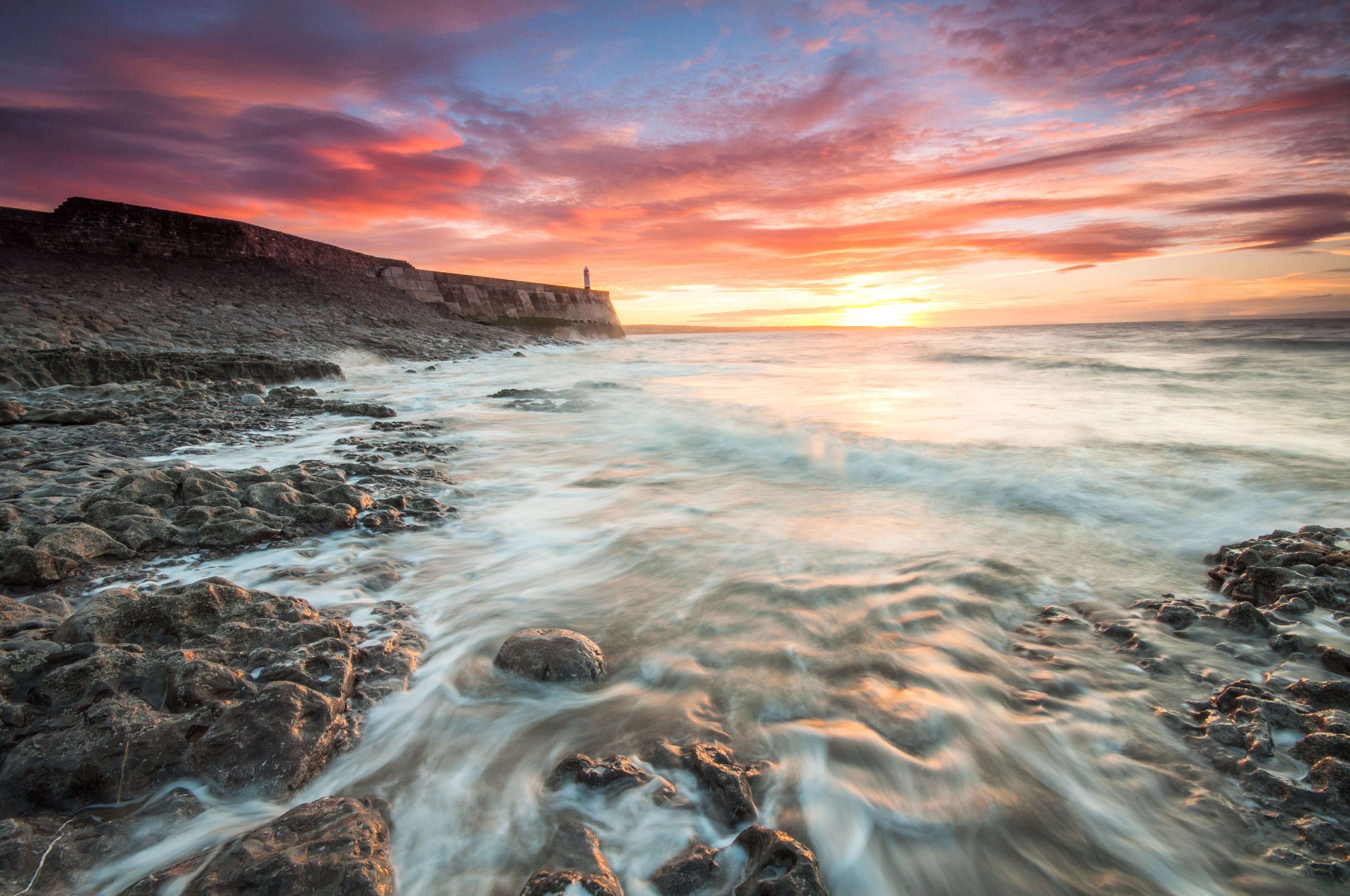
Soak up the Porthcawl seafront
If you’re looking for an accessible walk that blends history, wildlife and stunning views, look no further than Porthcawl in mid-Glamorgan. Once a busy port, Porthcawl became a popular tourist resort for miners from the Welsh valleys and it remains a well-visited destination today. Our out-and-back route follows the coastline on paved or boarded surfaces, making it perfect for wheelchair and pushchair users. Make sure to keep an eye out for the visiting seabirds and seals that bring the coastline to life.
What you need to know
- Length: 4.5 miles
- Duration: 2 hours
- Navigation: Novice
- Terrain: Coastal surfaced paths
- Suitable for wheelchair users
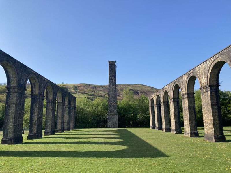
Amble past the aqueduct in Ystalyfera
(no video preview)
Winding past the ruins of aristocratic estates, Victorian ironworks and crossing the magnificent Twrch Aqueduct, our route through Ystalfera is the perfect way to soak up all of the town’s local history. And the best part? The entire route follows accessible tarmac paths and pavements.
What you need to know
- Length: 2.2 miles
- Duration: 1 hour
- Navigation: Easy
- Terrain: Tarmac paths and pavement
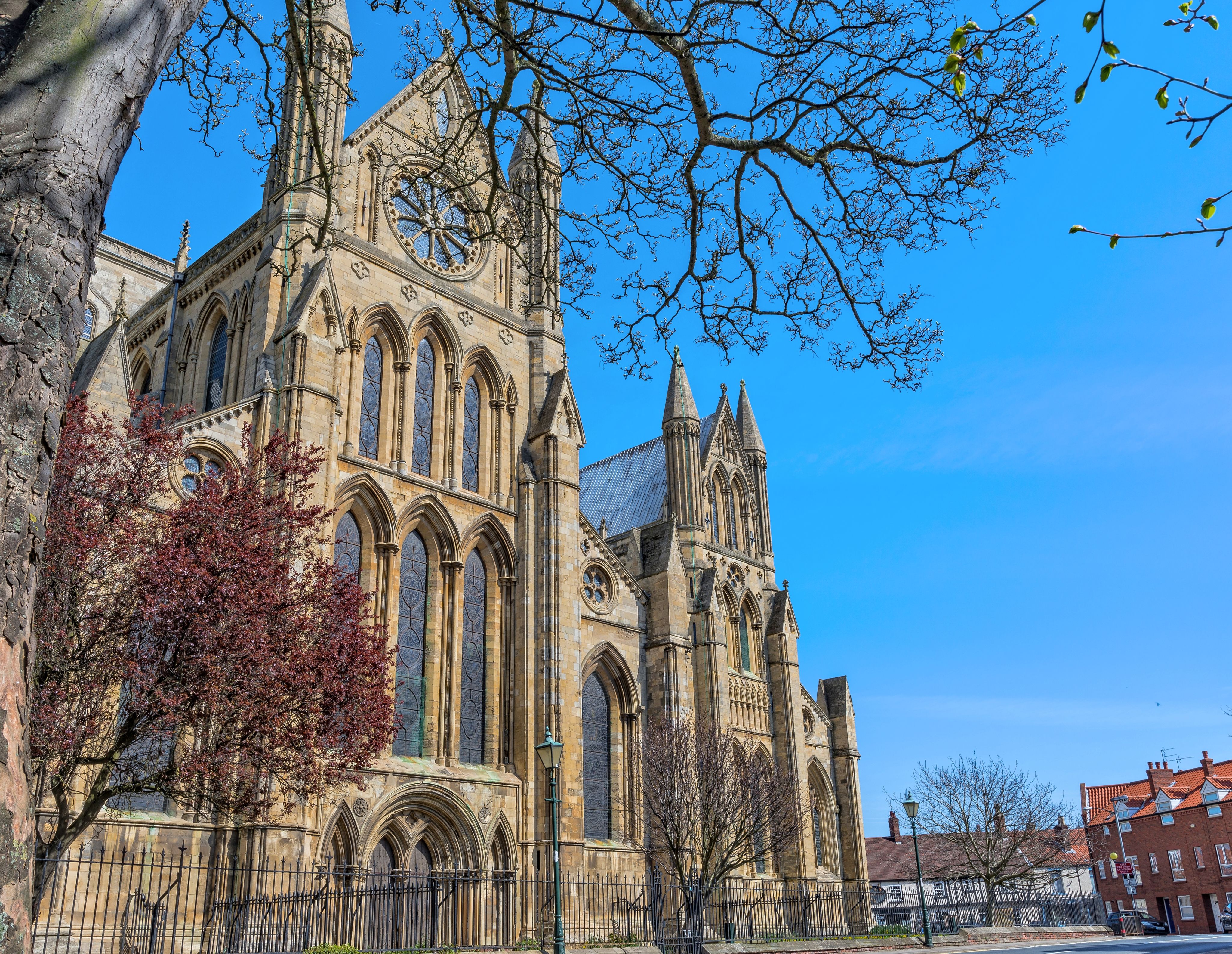
Marvel at Beverley Minster in East Yorkshire
Starting out in the historic market town of Beverley, our route winds through the wetlands of Swinemoor Common along the banks of the River Hull before looping back through sprawling common pastures to the old town and the spectacular Beverley Minster, a Gothic masterpiece and one the largest churches in the UK.
What you need to know
- Length: 5.25 miles
- Duration: 2 hours
- Navigation: Novice
- Terrain: Town and field
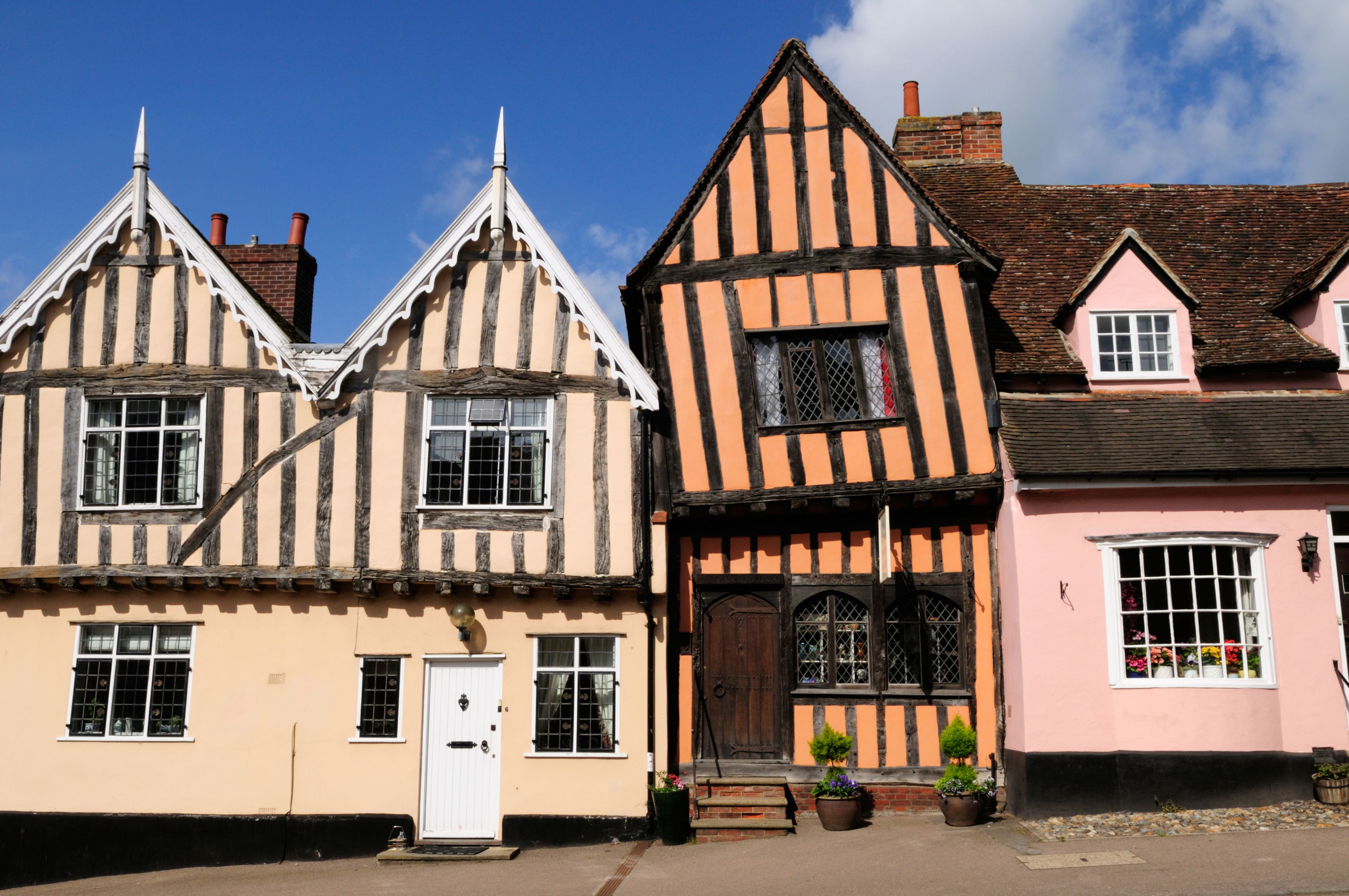
Travel in time to Tudor England in Lavenham, Suffolk
Lavenham in Sussex is home to more than 300 listed buildings, making it arguably England’s best preserved medieval village. Starting and ending at the Swan pub our route passes Tudor and medieval halls, the village’s magnificent church and an old railway line converted into a green pathway. And any Potterheads should keep a close eye out – Lavenham doubled for Godric’s Hollow in the Harry Potter movies!
What you need to know
- Length: 2.25 miles
- Duration: 1.5 hours
- Navigation: Easy
- Terrain: Village and tracks
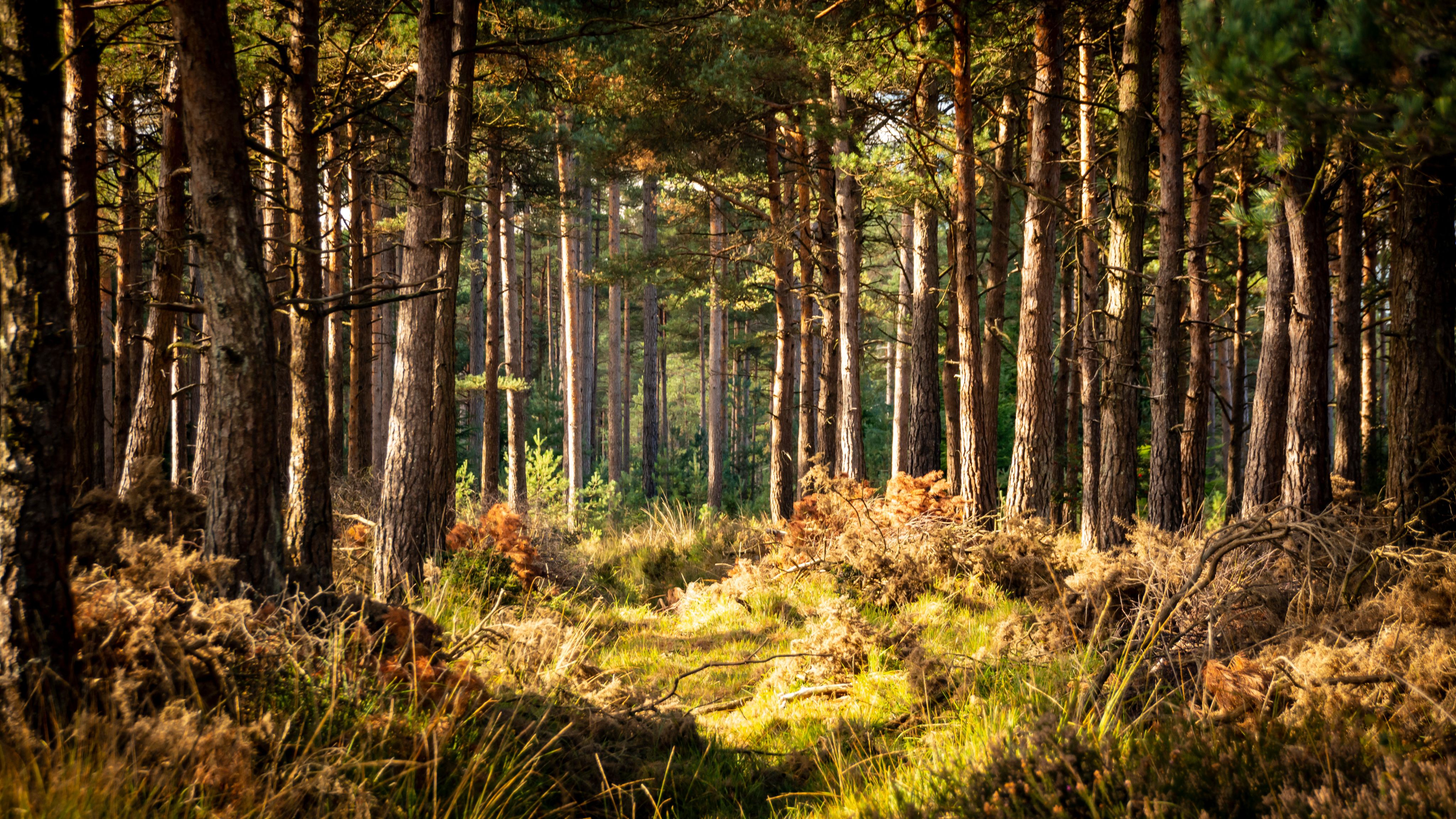
Watch our for wildlife in Wareham, Dorset
Want the chance to spot deer, lizards and woodlarks? Close to the pretty Dorset riverside town of Wareham, you’ll find a conifer plantation interspersed with rare lowland heath that is buzzing with wildlife. And that’s not all – the area’s well-maintained paths mean this is a walk suitable for everyone, whether you’re a wheelchair user or want to introduce young ones to the wonders of nature.
What you need to know
- Length: 2 miles
- Duration: 1 hour
- Navigation: Novice
- Terrain: Well-maintained paths through forest and heath
- Suitable for wheelchair users
---
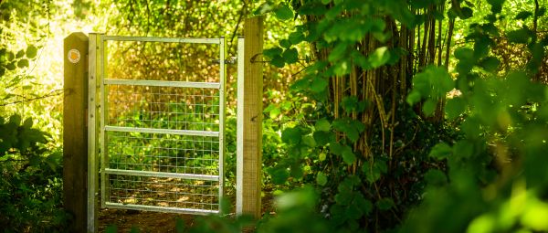
At the Ramblers, we work to break down the barriers that prevent people from enjoying all the benefits of the outdoors. That’s why, across England and Wales, hundreds of path maintenance volunteers work with landowners to replace stiles.
But we know that isn’t enough. So we’re calling on the government on the UK government to introduce an Access to Nature Bill in England that tackles all unnecessary barriers to the outdoors, including outdated stiles, so nobody misses out on the benefits of walking in nature.
Want to find out more? Check out all the details of our proposed Access to Nature Bill.

Getting obstructions removed from paths
If you have repeatedly reported a problem to the local authority and no action has been taken you can use the law to force the council into action
A stile every mile – millions missing out on benefits of walking due to outdated barriers in countryside
Physical barriers, such as stiles, currently prevent 1 in 4 people using the path network – meaning millions of people are potentially missing out on the physical and mental health benefits of walking in nature.
Dealing with problems on public paths
The Ramblers guide to reporting problems on public rights of way in England and Wales. Who is responsible, how to contact them and what to expect.