Ramblers Scotland unveils eight of the nation’s best “hidden paths”
Award-winning Scottish Paths Map reveals unmapped trails for the very first time

25 October 2023
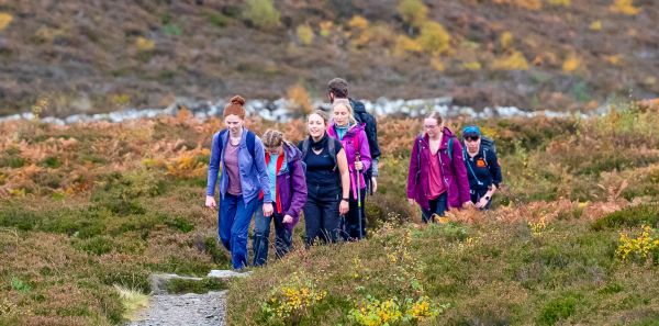
Ramblers Scotland has revealed eight of the country’s finest ‘hidden paths’, all of which have been mapped for the first time thanks to its award-winning Scottish Paths Map.
The walking charity’s online map features hundreds of previously-unmapped trails, including quality paths checked and logged by more than 400 Ramblers volunteers who are based everywhere from Shetland to Dumfriesshire.
It is hoped that that the map, which launched in 2021, will become a comprehensive map of the country’s walking routes. Volunteers have already added over 2,800 new paths to the map, totalling around 1,500 miles in length.

Woods at Corpach, West Highlands
Ramblers Scotland believes its top eight ‘hidden trails’ have never featured on print or online maps before*. All are high-quality paths that have been checked by Ramblers Scotland and they offer attractive walks.
Luke Phillips, Mapping Scotland’s Paths project manager, said: “Ramblers Scotland’s Scottish Paths Map includes many thousands of miles of paths, from traffic-free city routes to relaxing loch-side trails. As well as all the existing paths that have been checked by volunteers, we’re extra excited about the ‘hidden’ trails they’ve discovered along the way.
“It’s been fun putting together this list, which we hope will inspire more people to use the map and add their own local paths. We’ve picked a broad range of places - from woods on the edges of housing estates to gentle rural hill walks - to showcase the potential for the map to help all sorts of walkers to discover exciting new adventures.”
As well as recording new ‘hidden’ paths, Ramblers Scotland volunteers have also audited 13,000 existing mapped paths, totalling around 4,000 miles in length. The walking charity offers a short free online training to all its mapping volunteers, as well as access to its path-checking software.

Kingussie hillside, Cairngorms
Mr Phillips added: “While the Scottish Paths Map is the best-ever record of the nation’s paths, there’s still huge potential for it to be further refined and expanded. It’s easy and fun for walkers to record trails using our simple app. Every time a volunteer checks or adds a path, they can take pleasure in knowing they’ve made it a little easier for others to get healthy and active.”
You can view the map and volunteer at ramblers.org.uk/scottishpathsmap. The online map has proved hugely popular since launch, racking up more than 113,000 visits. It won the Community Engagement category at the 2022 ESRI UK Customer Excellence Awards.
Scottish Paths Map users are urged to exercise caution and remember the Scottish Outdoor Access Code, particularly as path assessments will always be subjective.
This project has received generous funding from players of People’s Postcode Lottery and Paths for All’s Smarter Choices Smarter Places fund. The map expands upon existing open-source data.
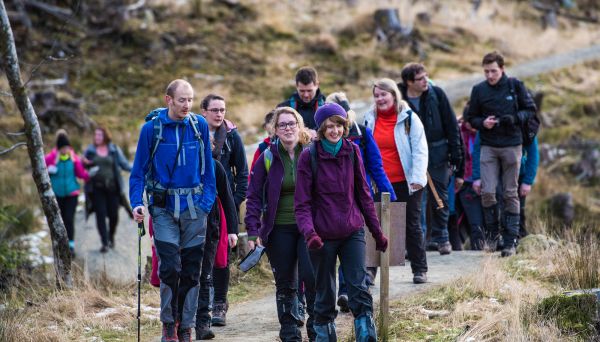
Scottish Paths Map
You can find paths across Scotland using our Scottish Paths Map, the best-ever map of the nation’s trails.
 enjoying the Magnificent 11.jpg?itok=D1u4H_th)
Walkers celebrate “incredible” first year of Magnificent 11 Trail in Glasgow
Ramblers Scotland president Zahrah Mahmood joined Glasgow Ramblers to celebrate the first birthday of the city’s hugely-successful Magnificent 11 Trail.
Ramblers Scotland research reveals shocking inequality in the outdoors
New statistics highlight urgent need for investment in access, and how poorer Scots lack local paths to get active