1
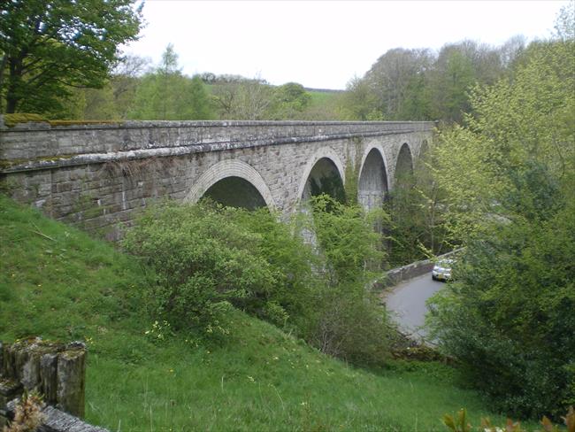
From the YHA entrance go left over the river and follow the road until it bends right at a road junction. Go straight on for about 10 metres then left through bollards and up to the leisure centre. Pass to the right of the buildings to reach car parks and the line of the old railway, which is now cycle route 71. Turn right along the old railway, immediately passing the old station buildings on your right. Keep ahead, cross a wooden bridge over the river and a road, and continue until just before the track goes under another road bridge, where a right fork takes you up to the road.
[A] The railway was the Cockermouth, Keswick & Penrith Railway. It was built in 1864 as part of a through route from Workington to Durham. The line was closed west of Keswick as part of the Beeching cuts in 1966. The section between Keswick and the west coast main line at Penrith remained profitable and well used, but was still shut down anyway as part of the politicking to get the new A66 road built. Remarkably, the thinking was that closing the railway would generate more traffic and so strengthen the argument for the new road. That short sighted thinking is now much regretted, especially on summer weekends when Keswick is jammed with cars. There is a long running campaign to reopen the railway, but success is not imminent.
2
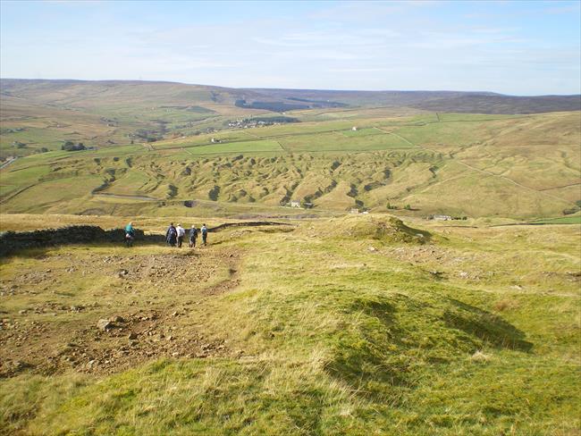
Cross over, turn right and go uphill for about 100 metres. Turn left up the A591 and then right up Eleven Trees, signed for cycle route 71 and Castlerigg Stone circle. Continue up this road, which gets quite steep for a while, but rewards your effort with good views. It eventually levels off, and immediately after passing a small right turn take a gate in the hedge on the right and walk across to the middle of the stone circle.
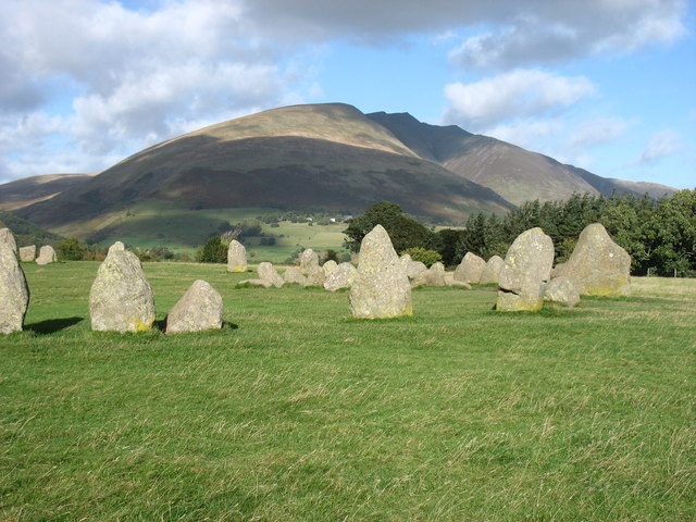
[B] Castlerigg stone circle is believed to have been built sometime in the late neolithic to early bronze age, about 3200 BC, which would make it one of the earliest such circles. Sited in a natural ampitheatre surrounded by high fells it has been described as one of the most visually impressive such monuments in the country. The stones are made from a local slate, the heaviest being about 16 tonnes. How many stones can you count? Some say 38, others 40, others say 42! (Some people are counting unofficial 'packing' stones that are there to support the main stones.)
3
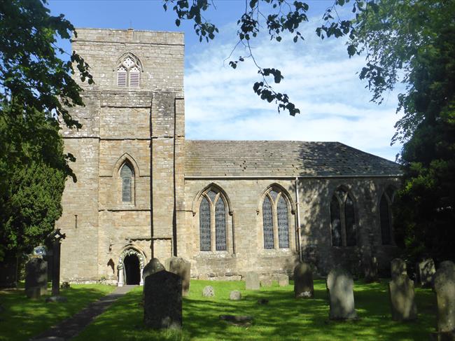
Return to the road and turn right along it, go downhill and round a left bend. Opposite the last of the four white buildings of Goosewell Farm on the left, take a footpath starting through a gate on the right. Go half left down to another gate, then keep in the same direction aiming for a road just left of a bridge over a stream you can see ahead. Continue via three gates to reach the road. Turn left, ignore a left turn then turn left at a T-Junction. This surprisingly large lane was once the main A66 road before it was rebuilt in the 1970s. At a left bend, take a path on the right that runs behind a crash barrier. It reaches a fingerpost and goes right down a bank to a kissing gate. Continue through another kissing gate just right of a green gate and go under the new A66 through a gloomy and damp subway. Follow the clear path sightly right and down across two more fields to reach the old railway again.
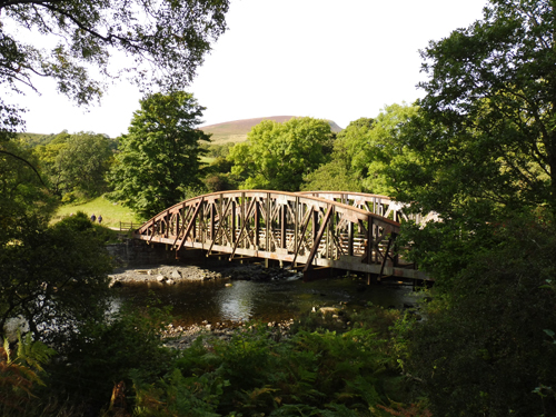
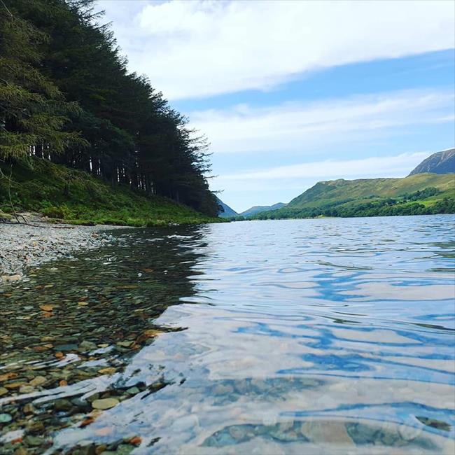
[C] The river crossed by the railway is the River Greta. It is only a short river, running for just over 4 miles from Threkeld to join the Derwent near Keswick, but is an extremely beautiful one as it runs through a gorge and woodland for much of its length. The name derives from the old Norse word Griota, which means a stony stream.
If you have had enough on reaching the railway, or the weather is closing in, simply turn left and follow the railway all the way back to the leisure centre where you joined it at the start of the walk.
4
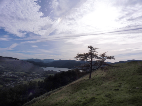
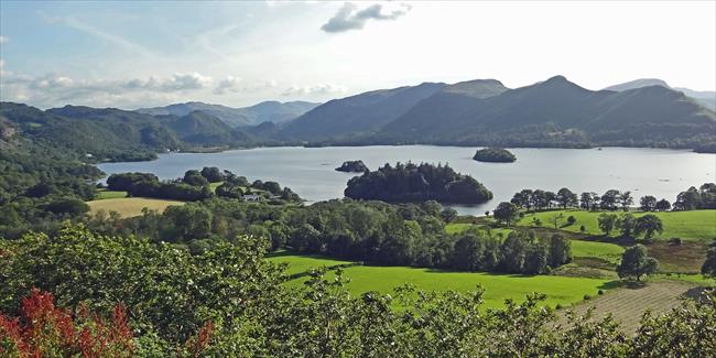
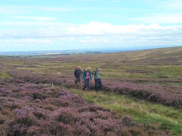
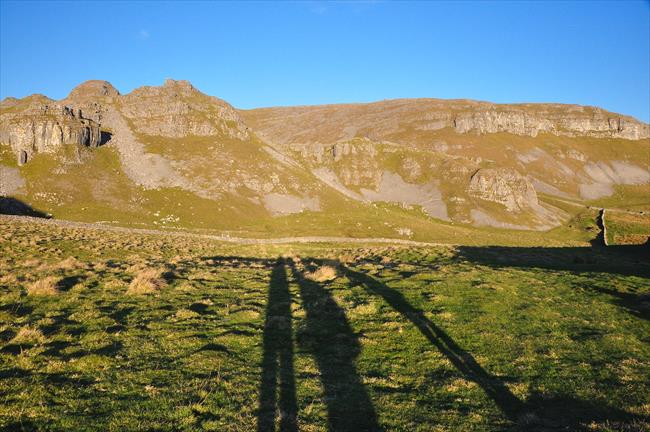
Turn left and cross the railway bridge over the River Greta, then just after an interesting small information hut on the left, go right through a gate and ahead a short distance to a gate onto a small tarmac lane. Now it is time for our second climb of the day! Turn left and follow the lane uphill. Pass a house and continue up through trees. Eventually reach the top, just after a gate, where the tarmac lane suddenly starts descending. Here, take a right turn through a gate, signed Skiddaw 4 miles. Almost immediately fork right, signed Latrigg and Skiddaw, and continue up a big stony path that soon swings left and goes up along a broad grassy ridge. It then follows a fence on the right to a gate. Go through and half left up the slope. Near the top, go right on a clear grassy path that follows the top of a ridge, with steep slopes to the left. After a gate the path levels off, keep ahead along the ridge to reach the highest point at the summit of Latrigg, with its wonderful views in all directions.
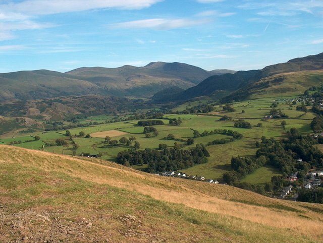
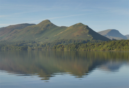
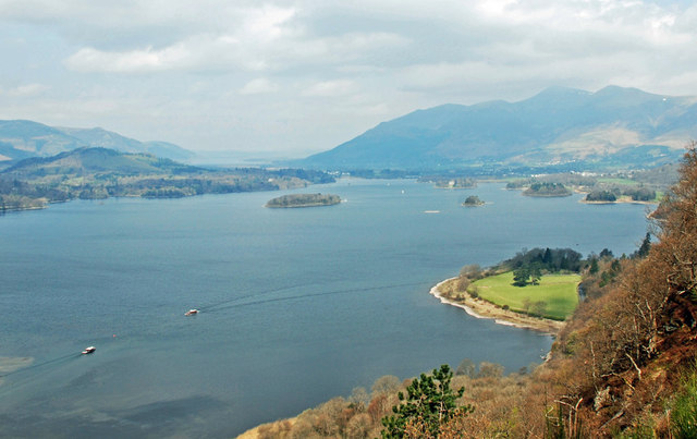
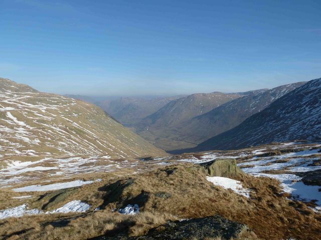
[D] Latrigg is often considered to be "Keswick's Mountain", and many visitors to the town will make the climb to the 368m high summit to enjoy a glorious view. As well as Keswick and Derwentwater down below, with the jaws of Borrowdale beyond, there are plenty of high mountains around. Skiddaw dominates the view north, and a long ridge to the south east leads up to Helvellyn. Blencathra is to the east, and on a clear day you will see the high Pennine Hills, including Cross Fell, a long way to the east. Try and spot Castlerigg stone circle, it should be visible from here!
5
Keep straight on along the path from the summit to reach a bench at a bend in the path. Go sharp right and follow the path downhill, with a fine view of the slopes of Skiddaw ahead of you. At a junction with a finger post turn left. The path soon starts to go down zig-zags to reach another path at a T-Junction by a fence. Turn left and follow this path downhill. It eventually goes through woods and steeply down to a gate. Keep straight on past a house on the right to cross a bridge over the A66 and reach a suburban road. Go right, and just after the abutments of an old railway bridge, go left through a metal gate. Follow the tarmac path ahead. Pass a BMX track and reach a T-Junction. Turn right to reach the river bank. Turn left alongside the river to reach steps up to a road. Turn right over the bridge to return to the YHA.