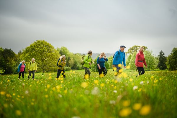
Walking on military land
How to walk safely and enjoy connecting to nature in these areas
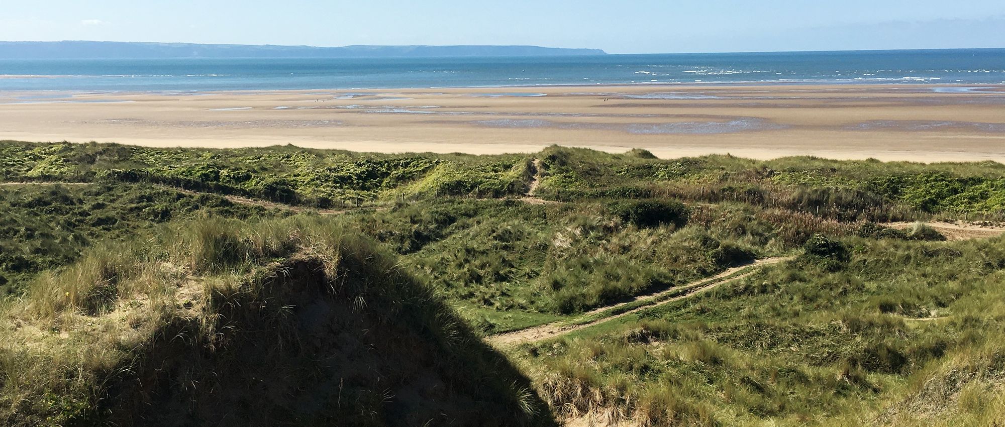
The Ministry of Defence (MOD) owns and maintains hundreds of thousands of hectares of land that it uses for military training. It is incredibly varied, including coastal cliffs, sand dunes, remote hills and even green spaces in highly populated areas. It also has some of the greatest biodiversity in the UK. Some of this land is publicly accessible and therefore has the potential for amazing walks.
The MOD has a policy of ‘presumption in favour of public access’ on its training estate wherever this is compatible with operational and military training uses, public safety, security, conservation and the interests of tenants. This means that the public can often walk on military land, when it’s safe and not being used for training. Access is managed by the Defence Infrastructure Organisation (DIO), a part of the MOD, which manages the infrastructure needed by our armed forces.
Some MOD land is not used for training but is let to tenant farmers. These areas will normally only be publicly accessible on rights of way, to avoid disruption to the farming activities.
Information about public access
You can find details of where you can walk safely and restrictions for accessing military owned land on the UK Government’s website.
You can also avoid firing times by checking the firing schedules.
How to stay safe when walking on MOD sites
Look out for red flags and red lights
The MOD flies red flags (or switches on red lights at night) on sites when life threatening activity is undertaken, such as the use of live ammunition. No public access is allowed while the flags are up, or the lights are switched on.
These are likely to be marked as Danger Areas on an Ordnance Survey Explorer map, with the boundary shown by solid red triangles. If there are public rights of way across a danger area, the MOD uses byelaws to enable them to close the paths temporarily when red flags or red lights are used.
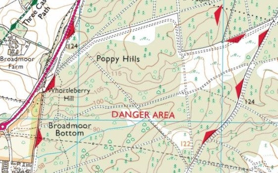
If you see a red flag on your walk, do not attempt to enter the site. Check your map to make sure you know where the danger areas are and plan your route safely around them. Note that the boundary of the danger area might not be shown on older maps or maps at other scales.
Be aware of Managed Access areas
Live ammunition is only used on certain sites within the MOD’s estate. Other sites are used for activities such as vehicle training, orienteering, camps or other training. On these sites only blank ammunition is used. The red flag system is not used on these sites.
These sites are likely to be shown on the Ordnance Survey Explorer map as “Managed Access” areas. The boundary is denoted using triangles with a red outline.
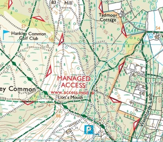
Access is normally allowed to these sites (or part of a site) when it is not being actively used for military training and where it will not conflict with any other management of the land. For example, access may be restricted where the land is recovering from training use, where trees are being felled, for nature conservation reasons or where there are events taking place (e.g. organised sporting events or filming). The MOD is able to manage this access (including use of rights of way) using byelaws.
If you’re planning a walk through a Managed Access area and are unsure of the byelaws, contact the DIO Access and Recreation Advisory team.
What are the hazards?
If you walk across a military training site, there are a number of hazards that you might come across, including:
- Firing of live ammunition (from small arms to heavy artillery).
- Firing of blank ammunition.
- Hidden pyrotechnics (light, noise and smoke).
- Unexploded ammunition on the ground.
- Fast moving vehicles, including trucks, tanks, quad bikes.
- Ambush training.
- There may also be difficult terrain such as muddy surfaces and holes in areas used by heavy vehicles.
In order to manage these risks, DIO uses several methods to warn people of when and where it is safe to walk.
General safety advice when walking on MOD land
- If you are walking a dog, keep it under close control at all times. If they stray into a military exercise, they can accidentally set off flares, disturb ambushes or might be at risk from vehicles.
- Always adhere to advice given to you by military personnel or on signs and information boards. Try to avoid interrupting military training exercises.
- Keep watch for vehicles around you. Look and listen when walking on or crossing roads, tracks or areas of vehicle training. Be aware that it can be difficult for the drivers of some vehicles to see pedestrians around them.
- Be aware that there may be sudden noises, smoke or spontaneous illumination (e.g. from pyrotechnics). These may be startling!
- Do not touch any ammunition or debris that you find on the site or anything that looks suspicious. If you find something that looks like it could pose a risk dial 999.
- Do not enter any structures or vehicles on military training areas – they may be unsafe.
- Wash your hands before you eat.
- Clean your shoes and boots before you enter your car or home
Contacting the MOD
If you have any questions or concerns about public access on the MOD estate you should contact the MOD DIO Access and Recreation Advisory team at DIOTS-ACCESS@mod.gov.uk.
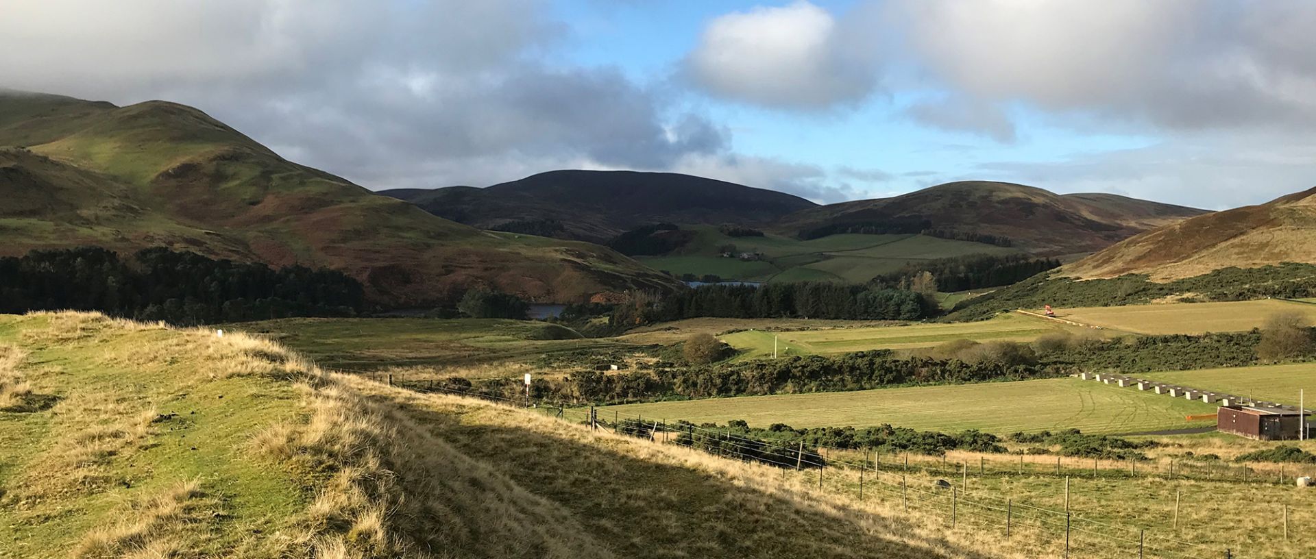
Great walks on Ministry of Defence land
We’ve partnered up with the Ministry of Defence (MOD) to highlight a series of walks that will take you into hidden corners of Devon, Pembrokeshire and Edinburgh. See the guides.
Where you can walk in England and Wales
Helping you understand your rights, where you’re allowed to walk, and how to find new places to explore.
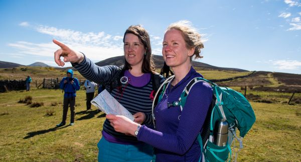
Our simple approach to navigating your walking route
Learning simple navigation skills will help build your confidence and reduce the chances of getting lost. Let us introduce you to the five Ds of navigation.

How to walk through a field of animals
A field of cows can be an intimidating sight. Find out how to stay safe when walking near cattle and other animals.