ponteland group logo

Ponteland Group

We are the Ponteland Ramblers. We open the way for everyone in our local community to enjoy the pleasures of walking.

Join the Ramblers and enjoy

  • unlimited free access to 50,000 Ramblers group walks
  • a library jam-packed with thousands of tried-and-tested routes
  • a welcome pack teeming with top tips plus our Walk magazine
  • exclusive discounts from our partners
  • knowing your support is opening up more places to walk and helping more people discover the joy of walking

Overview

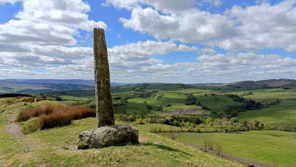
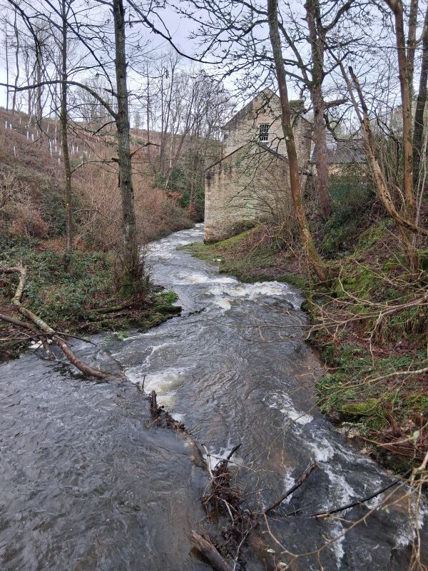
Blanchland/Slaley Forest. From the car park we head NE to Pennypie House, then follow the track N, turning NW to the corner of Slaley Forest, where we turn SSW on the Carriers Way to the shooting lodge at Blackburn Head. We then take the track through the High Beldon plantation to meet the track heading E to the B6306 at Baybridge and the footpath on the north bank of the River Derwent back into Blanchland.

Terrain: 1 stile. Two short steep sections on tarmac at beginning, but mainly on tracks and single file paths across meadows and moorland. Generally good underfoot, but some rougher stonier sections, a couple of short (15m) steep down/up sections and a few areas of standing water, easily circumnavigated on pre-walk.

Refreshments: Short coffee stop and picnic lunch en route. Refreshments are available afterwards at the White Monk Tearooms (up to 3pm) and the Lord Crewe Arms.

If you wish to join this walk please contact john.morrant@outlook.com

Sunday, 1 September 2024
Start time:
10:30 am
Estimated finish time:
3:00 pm
Difficulty:
Moderate
Distance:
14.5km / 9.0mi
Ascent:
N/A
Type:
circular

Starting point

Grid reference:
NY 96460 50457
Nearest postcode:
DH8 9TA
what3words:
respected.packing.erupts
Start time:
10:30 am

Start point/parking: Blanchland Village car park (Grid Ref NY96467 50450 Post Code DH8 9TA; What 3 words: distorts.clinking.comically). Free of charge but £1 donation requested. There are public toilet facilities at the other end of the village south of the Lord Crewe Arms access drive. Directions to start point: A69 west from Ponteland, south onto A68 and turn right at Kiln Pit Hill (SP Blanchland 7 miles). Take left fork after 1.5 miles and then left onto B6306 after a further 2.2 miles. Turn right in centre of village past side of White Monk Tea rooms and car park is on left.

Join the Ramblers and enjoy

  • unlimited free access to 50,000 Ramblers group walks
  • a library jam-packed with thousands of tried-and-tested routes
  • a welcome pack teeming with top tips plus our Walk magazine
  • exclusive discounts from our partners
  • knowing your support is opening up more places to walk and helping more people discover the joy of walking