greater manchester and high peak area logo

Greater Manchester & High Peak Area

We are the Greater Manchester & High Peak Area Ramblers. We open the way for everyone in our local community to enjoy the pleasures of walking.

Join the Ramblers and enjoy

  • unlimited free access to 50,000 Ramblers group walks
  • a library jam-packed with thousands of tried-and-tested routes
  • a welcome pack teeming with top tips plus our Walk magazine
  • exclusive discounts from our partners
  • knowing your support is opening up more places to walk and helping more people discover the joy of walking

Overview

Area Sunday Strenuous Walk.

Distances are over 10 miles.

Please note, the train time from Piccadilly has had to be brought forward as the intended train is not running.

Linear walk. No booking required.

Leader - Mary Hill 

Distance - 12.5 miles

Sunday, 24 August 2025

Meeting time & place: 

09:15 at Manchester Piccadilly station to catch the 09.29 train to Glossop.

Start time & place: 

10:16 at Glossop station after the arrival of the train from Manchester.

Estimated finish time & place: 

17:00 at Hadfield station.

Difficulty: 

Strenuous

Distance: 

20km / 12.5mi

Ascent: 

2620 ft

Train ticket - both stations are within the Greater Manchester boundary so the best ticket will depend on concessions &/ other journeys made on the day.

Note: walkers are advised to check one of the rail websites such as nationalrail or trainline close to the departure time in case of late changes to the running of the train.

Car parking both at and near Hadfield station, also on streets in Glossop.

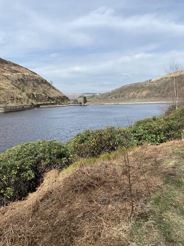
Walk route - Old Glossop, Cock Hill, Clough Edge, Torside Clough to cross the stream and walk beneath Long Gutter Edge down to the Longdendale trail, Crowden, Lad's Leap, Arnfield Lane, Hadfield.

There are two significant climbs on the route.

Expected time into Hadfield - no later than 17.00


Sunday, 24 August 2025
Meeting time:
9:15 am
Start time:
10:16 am
Estimated finish time:
5:00 pm
Difficulty:
Strenuous
Distance:
20.1km / 12.5mi
Ascent:
798.6m / 2620ft
Type:
linear

Walking boots and clothing (including waterproofs if wet weather is possible) are essential. Lunch and non-alcoholic drinks should be brought.

Features

  • Accessible by public transport

Meeting point

Grid reference:
SJ 84850 97842
Nearest postcode:
M1 2BN
what3words:
thus.rips.skip
Meeting time:
9:15 am

Starting point

Grid reference:
SK 03484 94137
Nearest postcode:
SK13 8BS
what3words:
cashier.shortcuts.solicitor
Start time:
10:16 am

Finishing point

Grid reference:
SK 02384 96013
Nearest postcode:
SK13 2AQ
what3words:
curving.disarmed.serve
Estimated finish time:
5:00 pm

Join the Ramblers and enjoy

  • unlimited free access to 50,000 Ramblers group walks
  • a library jam-packed with thousands of tried-and-tested routes
  • a welcome pack teeming with top tips plus our Walk magazine
  • exclusive discounts from our partners
  • knowing your support is opening up more places to walk and helping more people discover the joy of walking