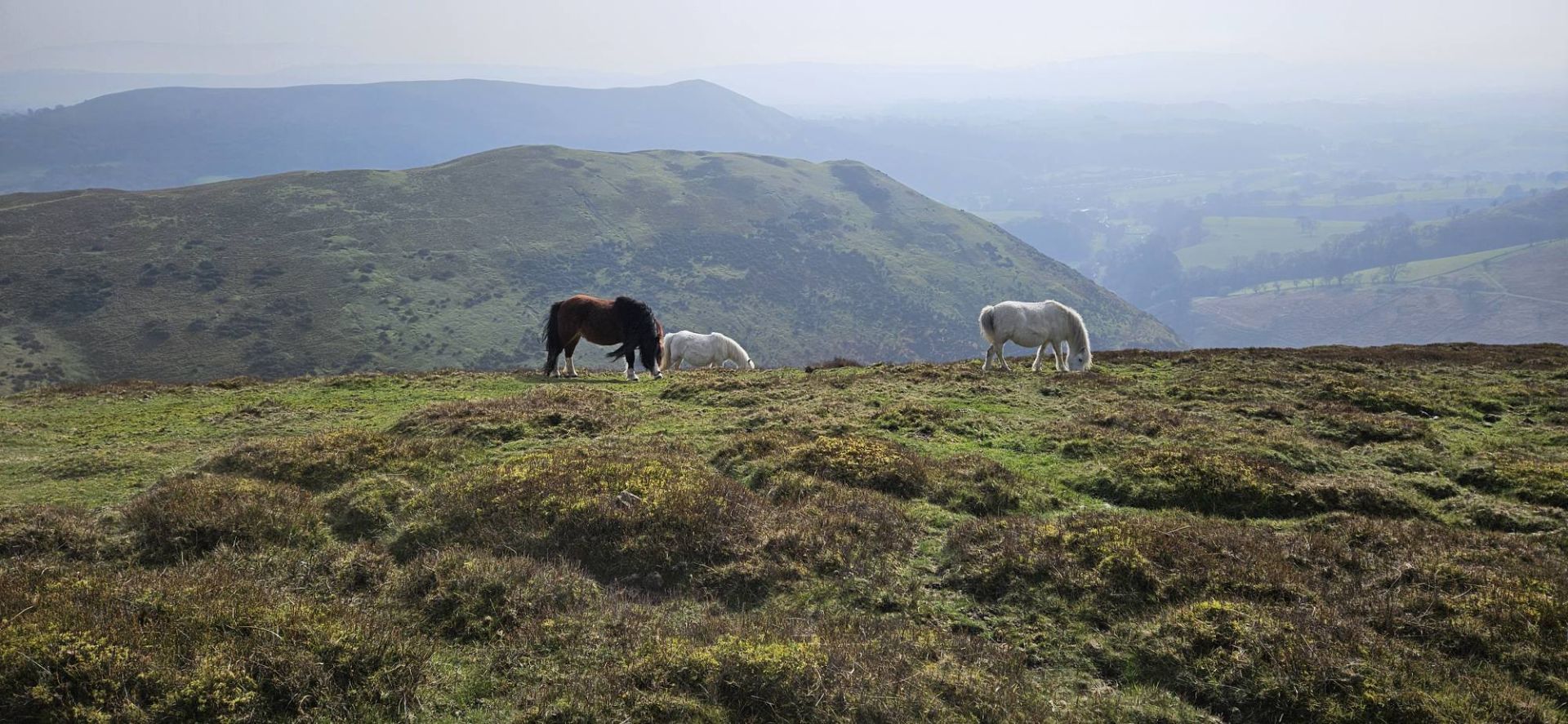
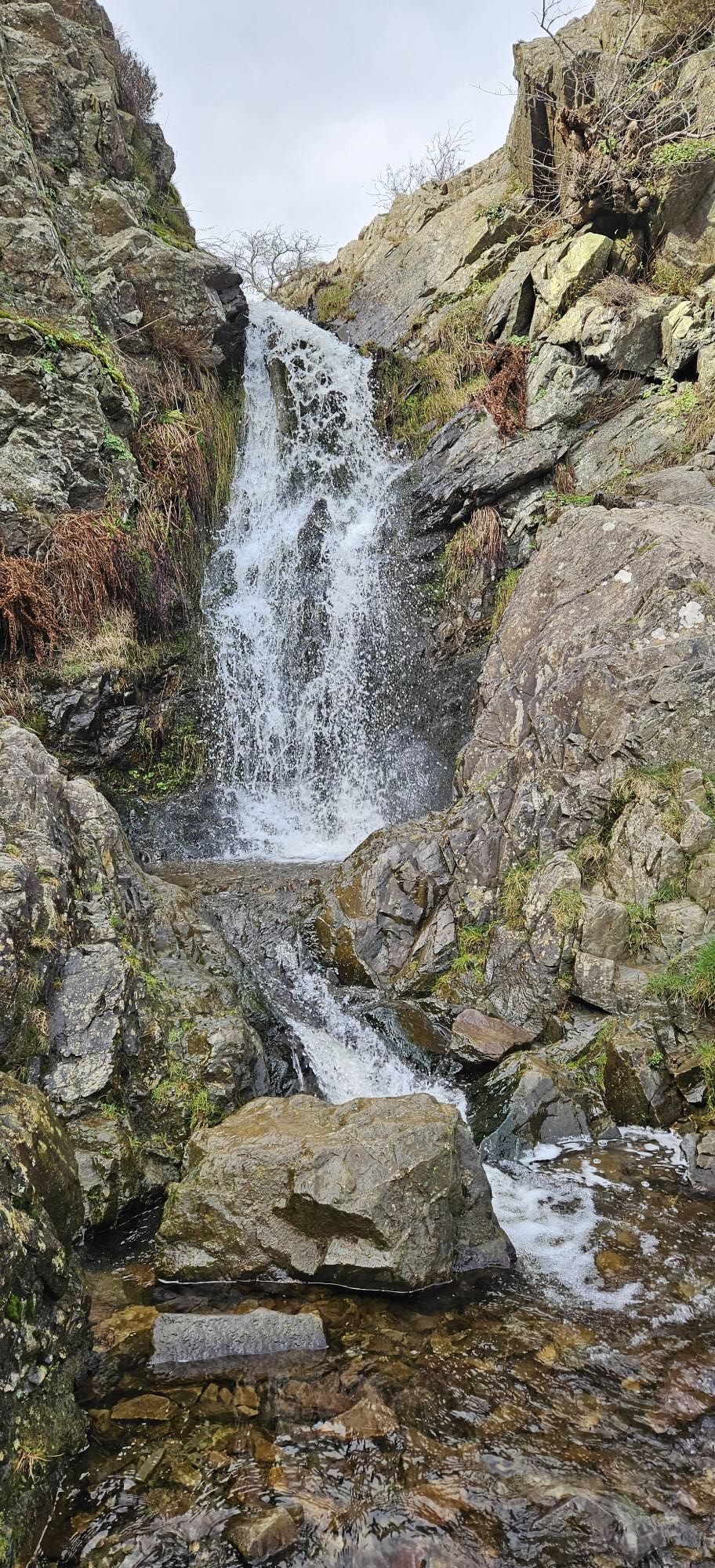
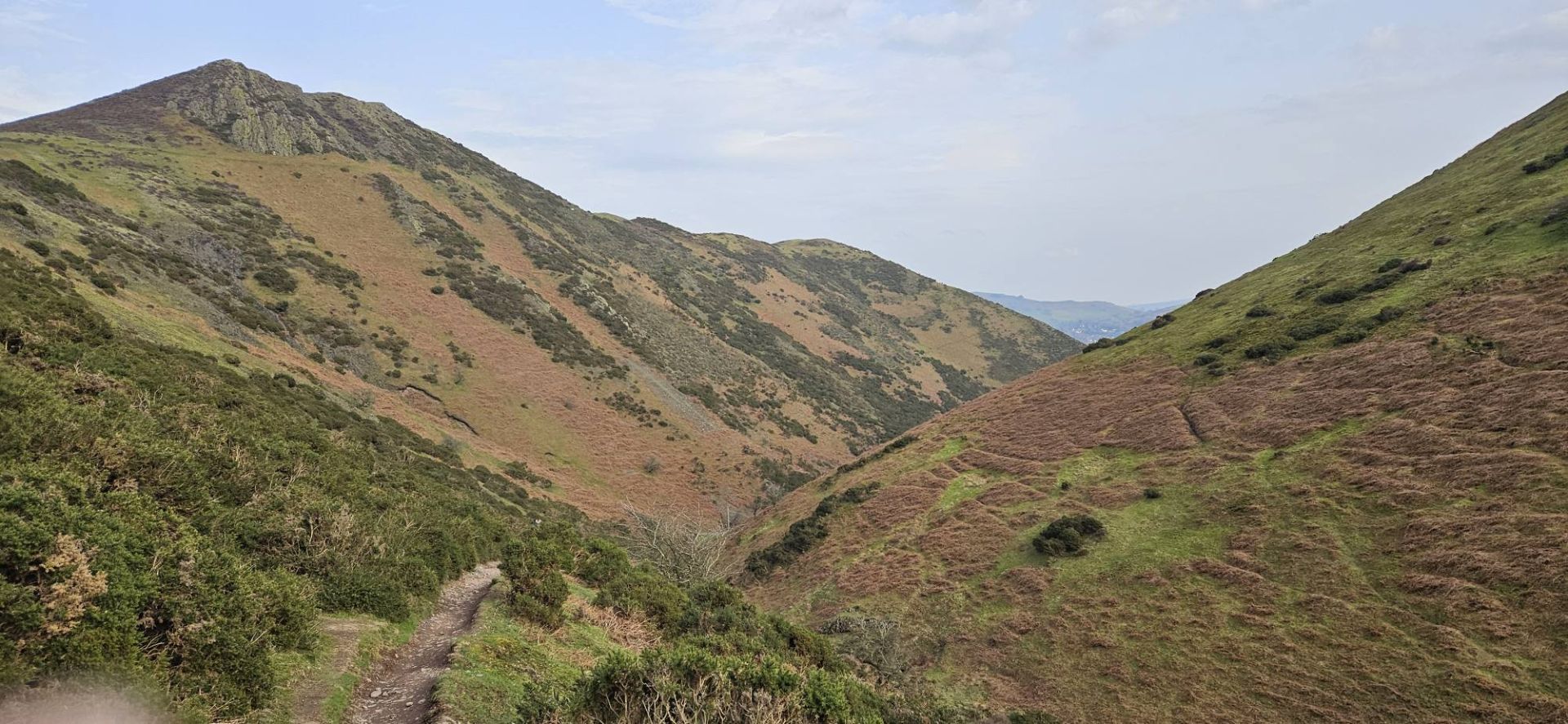
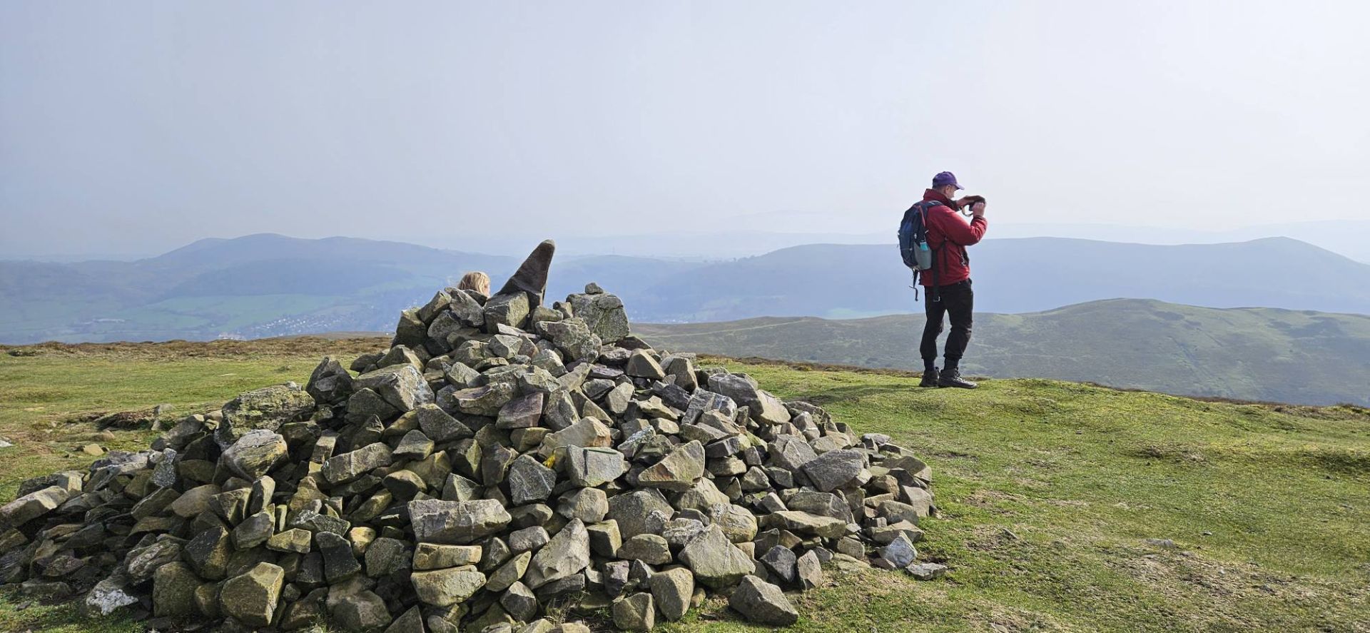
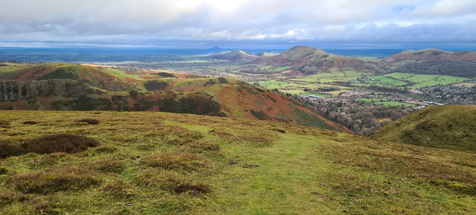
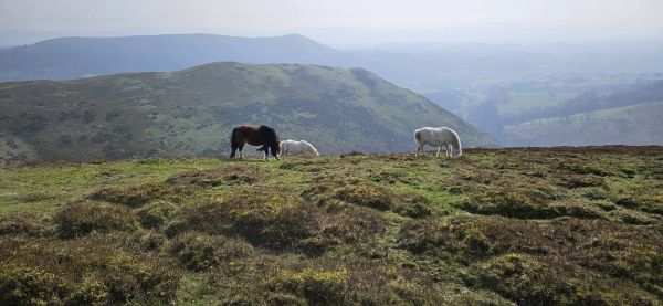
This walk includes the lesser known, less frequented, beautiful, quiet Long Mynd summits of Ashlet and Yearlet with their stunning viewpoints. If the weather is clear you'll see across to Ragleth Hill, Caer Caradoc, The Lawley and look down on Church Stretton and spot many more landmarks. Keeping company with the famous wild ponies, we'll then cross the open moorlands to the top of Light Spout Waterfall with many more wide open views of the other Shropshire Hills. Then we follow a tributary valley up to join the Port Way and gain the Pole Bank summit Trig point with its toposcope, which names the 360 degree views across the Midlands and into Wales. We then descend via the beautiful Town Brook Valley and Rectory Woods path with more breath taking views.
Although the overall grade is moderate and we start the walk already at a height of 236m up the Mynd, there a two short strenuous sections. The first hour of the walk follows the steep '100 steps path', followed by a walk uphill on a broad grassy path to the brow between Ashlet and Yearlet and the latter's summit cairn. This is a steep climb gaining 228m in 1km. However, you can take it at your own pace, stop for a breather or to take photos and there will be a coffee/ rest stop break at the Yearlet cairn 466m. After this, it's a more gently undulating 5km walk across to the top of Light Spout Waterfall and up to the Mynd's summit at 516m. NB. Short parts of the paths around the waterfall and the Town Brook are narrow, rocky in places, with some short steep descents, so poles are recommended and boots are essential. As these narrow paths are not suitable for a large group with dogs off leads, and a challenge for a walker using a short lead to manage, the leader will not be accepting dogs on this walk. We have lunch at the top of the waterfall so you can take your time to descend a short rocky path to the bottom to admire it (optional, as you may need to use your hands for balance in a couple of spots). Bring a drink, snack and packed lunch. The Cunnery Road car park is small and popular, car sharing is recommended. Please ask leader about car share availability.