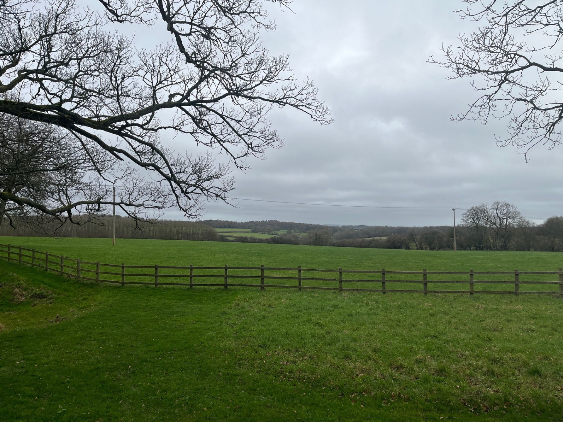
Immerse yourself in rolling Chiltern countryside, peaceful beech woodlands, and great company on a 9-mile circular walk that’s sure to be a highlight of your week. Our route begins and ends in the charming village of Nettlebed, perched on a ridge high above the Thames Valley and surrounded by classic Chiltern scenery.
This will be a joint walk with our friends from the Chiltern Young Walkers group, offering a fantastic opportunity to meet like-minded people and forge new friendships along the way.
Important Note: Nettlebed has free roadside parking available throughout the village. Parking maybe a little scattered so please ensure you arrive in good time so you have enough time to find a suitable space. Given the anticipated number of attendees we'll be setting off at 10:30am sharp.
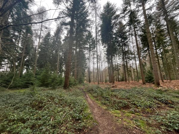
Setting off from Nettlebed, we’ll head south-east along quiet country lanes before joining field paths that lead us gently down into the surrounding valleys. The landscape soon opens into a patchwork of farmland and hedgerows, before we enter the airy beechwoods that define this part of the Chilterns. As we wind through woodland and meadow, there are occasional far-reaching views across rolling Oxfordshire countryside and wooded ridges beyond.
Continuing anticlockwise, we gradually climb towards the delightful hilltop village of Stoke Row — known for its historic Maharajah’s Well and peaceful village green. Here, at around the halfway point, we’ll enjoy a relaxed and sociable stop for sandwiches outside the welcoming The Crooked Billet. It’s the perfect place to unwind over a drink, share stories from the trail, and soak up the atmosphere of a classic Chiltern country pub.
Refreshed, we’ll leave Stoke Row heading north-west along peaceful bridleways and woodland tracks through more of the Chilterns’ signature beech and oak woods. The return leg meanders across quiet commons and open farmland, with gentle undulations and a wonderfully unspoilt feel.
Our final stretch brings us back into Nettlebed, where historic cottages and leafy lanes welcome us home. To round off the day, there’s the option to gather at the friendly The White Hart — an ideal spot to celebrate the walk together. Whether you fancy a pint of local ale, a glass of wine, or a refreshing soft drink, it’s the perfect setting to relax, chat, and enjoy the warm village atmosphere before heading home.
We look forward to sharing this beautiful journey with you!
*Non-Ramblers members are welcome and are able to attend 3 walks before joining the Ramblers*
Please bring a packed lunch and plenty of water.
Walking boots or suitable footwear for hiking is required.
👣 Walk Details: This is a circular route 14.56km (approx 9 miles)
- Meeting Location Start & End: The Green, Nettlebed, Henley-on-Thames RG9 5AX
Google Maps Pin Location: https://maps.app.goo.gl/jwYHPza6UjFYP3kr5
Map Route: OS Survey Maps Page: https://explore.osmaps.com/route/30620641/nettlebed-to-stoke-row-circular-walk?lat=51.55746&lon=-0.98545&zoom=15.437&overlays=os-obstacles-layer&style=Leisure&type=2d
Please refer to the meeting location using the above Google Maps link.
🌧️ Weather Precautions: While we hope for dry weather, it's wise to be prepared. Please bring suitable footwear and an anorak if rain is forecasted.
🚗 Getting There: For those arriving by car, there is free roadside parking throughout the village. Parking maybe a little scattered so please ensure you arrive in good time so you have enough time to find a suitable space.
For those who maybe considering car sharing, for your upmost safety we please ask you to travel together in groups where possible or at least with a driver you already know.
Look forward to seeing you all :)