Tinto 707m; (OS sheet 72; 953344)
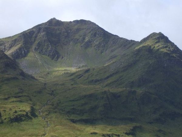
Tinto is located 10km south of Carstairs Junction and is a northern outpost of the Border hills. It stands in complete isolation, with the river Clyde flowing nearby. Due to its isolation it is regarded as being a very fine viewpoint.
Our route starts at the main carpark, with plenty of space available for cars, (OS sheet 72; 965375). From the carpark we head for an iron age fort then skirting on sheep tracks east before backing west onto Totherin Hill 470m. From here we continue on excellent tracks to the summit of Tinto, 707m. From the summit we head west then north to Cleuch reservoir then onto a mix of road and forest track back to start. Around 12km and 500m of ascent , 6 hrs. Overall not too strenuous with short sections of rough walking.
On the day of the recce dry underfoot but has potential for short wet sections so gators may help.
No toilet facilities in area but some tree cover can be found.
From Kirkintilloch expect an hours drive to Tinto carpark.


