A circular walk starting in the village of Vernham Dean, climbing out of the valley and heading west towards Hippenscombe and Tidcombe. We will pass Haydown Hill and Fosbury (Neolithic) Hill Fort before meeting the Roman Road south of Tidcombe. We then enter Hippenscombe, a natural coomb or bowl in the chalk downland north of Upper Chute. Its floor is known as Hippenscombe Bottom and its dramatic contours have become a mecca for artists. A more sinister past lies in its part in the 1830 agricultural riots against the introduction of machinery. In earlier times it was part of Savernake Forest, and was a major obstacle to the Romans when building the Winchester-Mildenhall road. Evidence of Neolithic occupation is also present as an oval barrow at Scotspoor, in the northwest extreme of our walk. Progressing south we pass through Chute Standen and Chute Cadley, two of several settlements that are sometimes known collectively as "The Chutes". Turning north east, the route passes through Conholt Park, originally developed as an agricultural estate (the Conholt estate was purchased in 2022 for £80m, by Steve Schwarzman, the chairman and CEO of Blackstone, world's largest alternative asset manager), before returning to Vernham Dean.
The underfoot conditions are typical of chalk downland with a mix of well surfaced tracks and paths, open footpaths on the downs and possible wet areas in the vale. Conditions are always changing with the weather, please note that some tracks are rough and hard on the ankles due to resurfacing with loose road stone and can be 'ankle turning'. There is overgrowth present and in parts nettles are to be found in abundance - shorts wearers be warned. There are 5 stiles, mostly of poor quality.
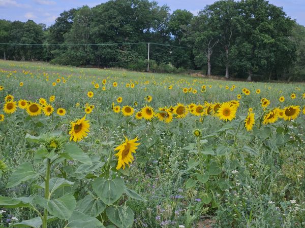
If the weather is kind there are some stunning views to be had.
The walk is mostly exposed to sun and / or rain, please dress appropriately for the weather conditions on the day and the likelihood for vegetation over-growth.
Please ensure that you carry adequate food and liquid refreshments for the day. We will stop for a mid morning break and lunch, cover from the weather is not available.
There is a upper limit of 16 walkers, please register via the website.


