
Where to go walking
Discover all the information you need to feel well equipped to head out on a walk and know where to go.
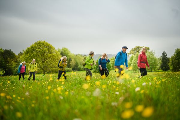
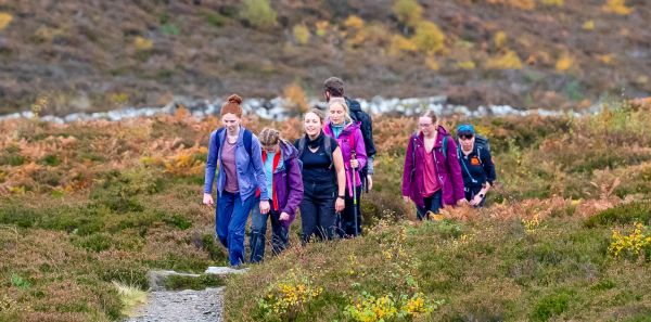
Are you ready to pull on your walking boots and get exploring the great outdoors? You’ll find all the information you need on where you can go walking, to feel confident and well equipped to head out on a walk.
A world of new walking opportunities awaits you.
Where you can walk in England and Wales
Helping you understand your rights, where you’re allowed to walk, and how to find new places to explore.
The Countryside Code
The Countryside Code is your essential guide to enjoying walking in parks and by waterways, at the coast and the countryside in England and Wales.
A simple guide to Scottish access rights
How to enjoy Scotland’s world-class access rights, while following the Scottish Outdoor Access Code.
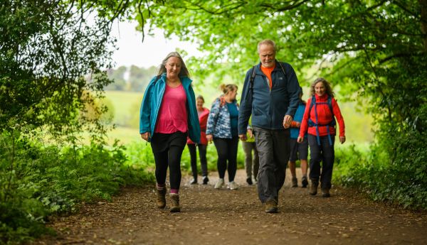
Planning a walking route
Choosing the location and distance are just two important aspects of planning a walking route. Here is our guide to a well-planned walk.
Scottish Paths Map
You can find paths across Scotland using our Scottish Paths Map, the best-ever map of the nation’s trails.

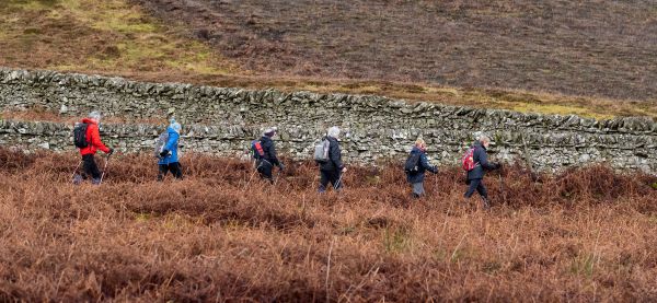
What to expect when you join a Ramblers group walk
A Ramblers group walk is a great way to get out exploring. Here’s what to expect when you join us.