1
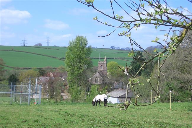
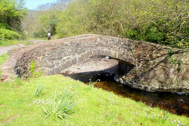
From the car layby, head up the lane past Huccaby’s St Raphael’s church. Turn right along a track just past Huccaby Farm on the left, then almost immediately fork left on a footpath signed for Dartmeet, going through a gate and continuing directly ahead through a churned up field. Things improve once you reach an area of scrub, and the path becomes more clearly defined. Bear right to continue down an enclosed path, then down an open field. When you reach the house on your left, turn left through the gate to the road and right down to Dartmeet Bridge, where you can see the remains of the old clapper bridge just above it. This is a popular place, which can be very busy in summer.
2
Continue up beside the road to an upright stone; from here follow the path that cuts off a loop in the road, rejoining it at the top.
Ahead and to your right you can see Sharp Tor.
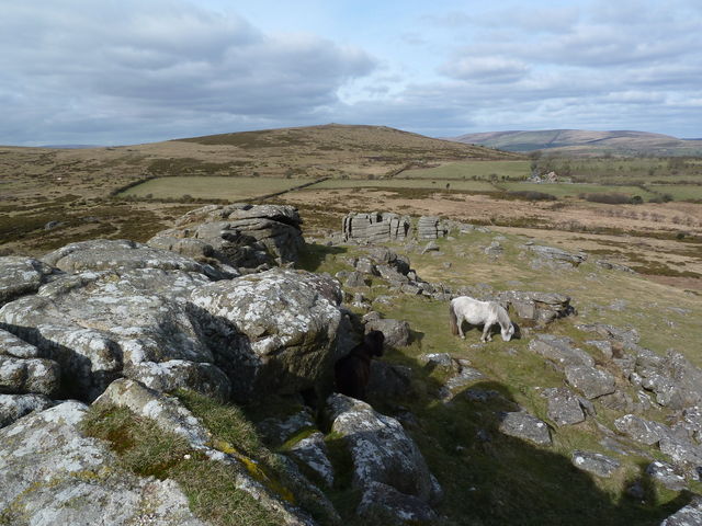
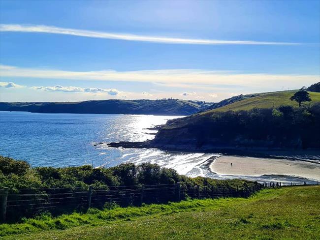
Continue alongside the road a bit further, then turn off right for Sharp Tor. There is an initial descent into a boggy area of ground, then it’s an easy climb to the top and worth it for the splendid views.
3
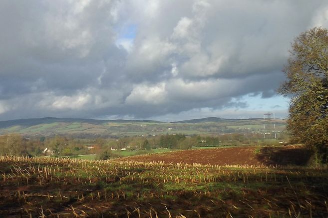
Descend east to a lane and bear left, soon turning off right along a track beside a wall, which becomes an enclosed track for a short distance. Now on the route of the Two Moors Way, head on along a fine ridge-top track high above the wooded valley of the Dart.
(A) This is known as Dr Blackall’s Drive, constructed to take a pony and trap, and afford excellent views.
Descend to the road and turn right, keeping left when you get to a fork. Shortly afterwards, leave the road at the parking area on the left and follow a path down through the bracken to the valley road. Turn right and, just before the road junction, go left along a path to Newbridge – another very popular spot.
4
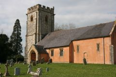
Cross the bridge and continue on the riverside path; fork left (signed for Holne) then go up through fields to the road. Turn left then immediately right for Holne.
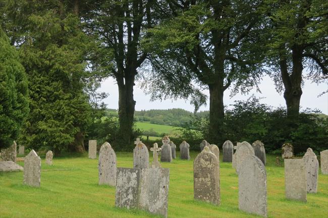
(B) The church of St Mary the Virgin at Holne is of interest. It dates from the 13th Century and its colourful rood screen dates from around 1480.
5
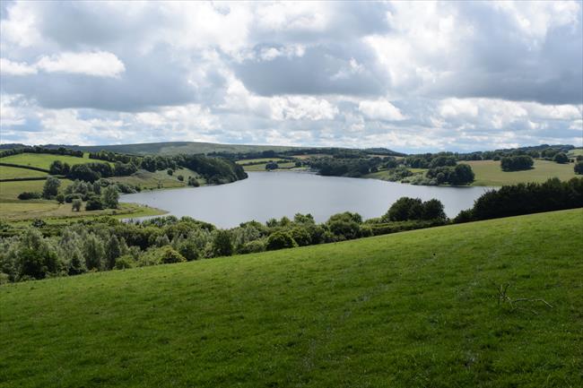
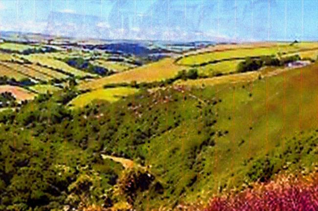
Pass through the churchyard and on to a road junction. Keep ahead down to Michelcombe and then continue on the ascending track west to reach a gate. You are now on open moor and need to navigate carefully. The route, which heads northwest then west, is barely discernible and leads past the visible remains of old tin workings (SX674696). A landmark for these tin workings is a lone tree. Shortly after these tin workings, the path divides near a granite post. Fork right, heading north-northwest and then north, gently descending a broad ridge towards Combestone Tor – a key landmark (SX670718). As you descend, Venford Reservoir will come into view. (Note: if the mist descends, heading north at any time should lead you down to the road.
If the mist is particularly bad, turn right at the road instead of continuing onto Michelcombe and follow this all the way to [6] as it skirts through the moor close to the edge and passes to the north of Venford Reservoir.
6
Turn left along the road back to the start, ignoring left hand turns at Hexworthy.