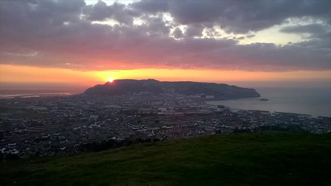
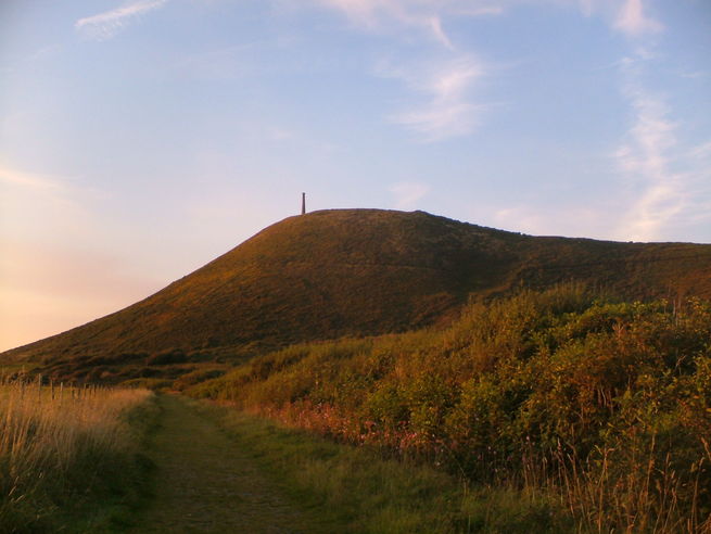
1
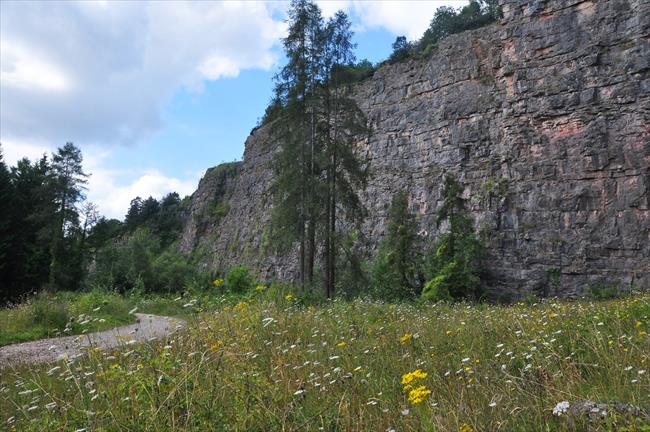
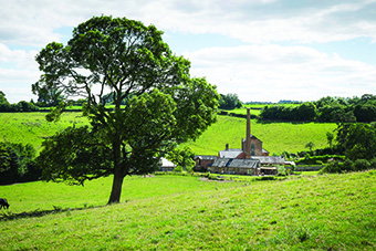
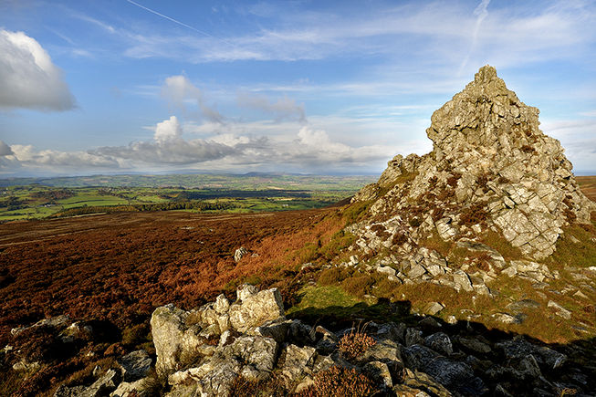
Join the signed, gated track from the bottom of the car park; head to the massive Hoffman Kiln and take the tree-shaded path leaving from its rear (the end without the chimney) (A). Jig L through the old tramroad bridge abutment, then R to pass L of the brick-built Tally House. Advance through the low tunnel and rise steeply up (ignore the handgate L into rough pasture) the wooded hillside (old tramway incline with a few rails still in-situ) to the reconstructed old winding engine at the incline's head. Bear R on the firm path through the spectacular Llanymynech Rocks Nature Reserve (B), presently descending along the main path through the woods to reach and use a gate-side metal handgate just above a woodland car park (which you don't reach).
2
Immediately, turn L along the dirt path to reach a nearby cul-de-sac. Bear L just before the tarmac up the continuing (waymarked) bridlepath. At its end head up the tarred lane for 50m; then fork R along Primrose Lane. At the T-junction on a bend in 250m, bear L and immediately turn L up the grass-centred, hedged drive. Use the timber kissing-gate (R of the house) into woods; then select the steeply rising path ahead (not half-L up visible steps). At the top, bear R (waymarked) along the path within the woodland fringe alongside the golf course fairway (on your L). Pass directly behind the 4th green to find the foot of a gravelled slope (access to a higher, 5th tee, do not climb!). Here; use the waymarked stile R into the wooded collar; turn L up to another nearby stile at the wood's higher edge, then head half-R up the pasture to find a wide gate back into woodland. Follow the clear, large, painted waymarks along the unsurfaced, gated track to reach a sharp hairpin-bend. Bear L up to reach the lane’s top end (3-way split into tracks) beside an old white-painted bungalow.
3
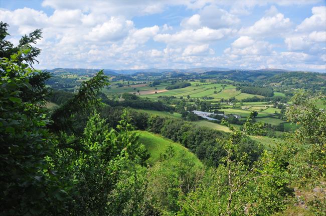
Turn L up the rise for “The Firs”, then bear R in front of the gates onto the short, grassy path to a Llynclys Common information board. Climb the steps (L) to join a good undulating path at the lip of Blodwel Rocks (C). Occasional breaks in the trees reveal views up the Tanat Valley to the distant Berwyn Mountains.
The path winds near to the edge of often precipitous drops from Blodwel Rocks which are invisible under the trees and vegetation – particularly so in summer. Take care to stay on the good, walked path and don't be tempted to try a short detour to your right to improve views, as a long fall may await!
4
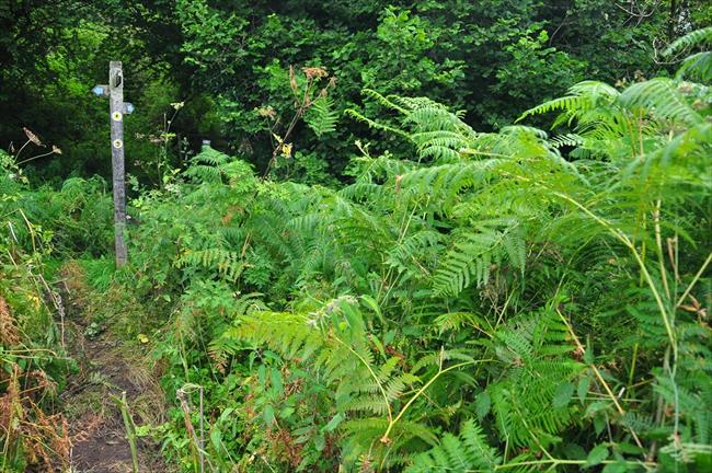
In a deep gully a post welcomes Offa’s Dyke Path (ODP) coming up from the right. Go straight across (not downhill to R or L), continuing along the woodland path now waymarked with regular ODP discs and an acorn logo. Presently, the path skims the edge of golf fairways, then re-enters the woodland (waymarked ODP) to undulate parallel with the course (never drop very far R – remain near the top of the steep woods). At the far end of the golf course, the path loops L to pass just behind/below the 14th tee, then a green to find a nearby 4-way fingerpost, within sight of a waymarked handgate ahead (which you don't reach).
5
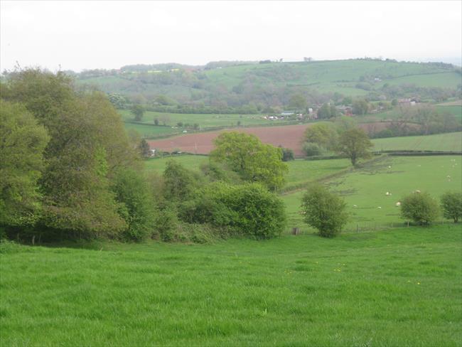
Turn R (leaving ODP) down the steepening, uneven bridlepath through the woods; then descend the stony driveway to find a tarred lane-end. Turn R on the hedged track. In 50m look L for the decrepit stile over wooden railings beneath a tree and descend the long, rough pasture (a field road soon develops), heading for the R-side of the field-foot buildings and a gate onto a rough track. Turn L into and through Carreghofa Hall’s farmyard and advance along the access lane beyond, with a superb horizon of hills all-round.
6
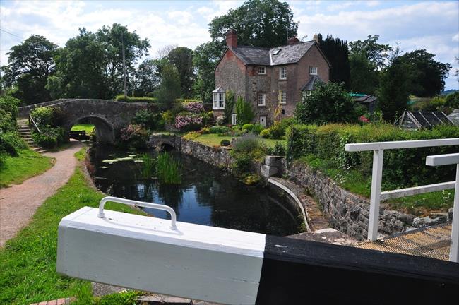
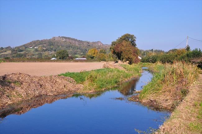
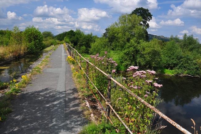
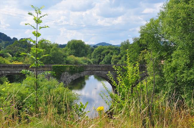
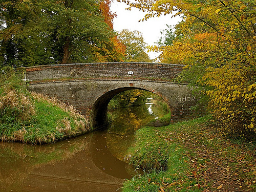
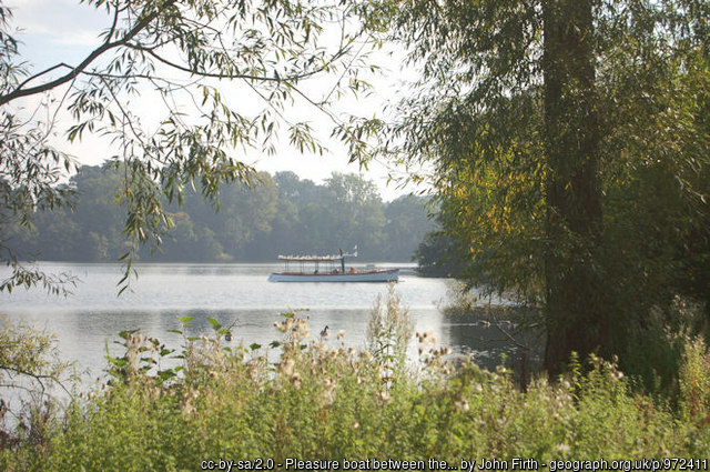
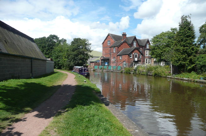
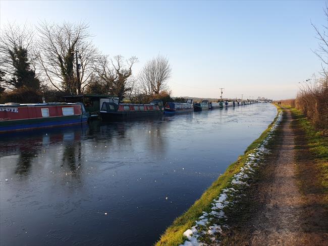
At the T-junction with a lane (750m) turn R; then bend L. Follow this quiet road for 1km to reach Carreghofa Locks bridge at houses. Use the handgate L; then loop back beneath this bridge and walk the Montgomeryshire Canal (water R) to find the remarkable Vyrnwy Aqueduct (750m, crossing a lane en-route) across the River Vyrnwy (D).
7
Then, turn back alongside the canal (water L) and walk the towpath all the way through to Llanymynech at Bridge 92 (about 2.25km from aqueduct). Leave the towpath up steps here. The car park is uphill 100m on the right.

