Walkers must book in advance with the walk leader
A local five mile walk in the hills above Glen Fruin. There is a steep climb but rewarding views across the Firth of Clyde.
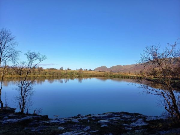
We follow the track for a short distance towards Auchengaich Reservoir and then turn right to ascend a steep, grassy slope to the summit of Auchengaich Hill. From there we follow a faint path generally northwards over Beinn Tharsuinn and on to the summit of Beinn Chaorach. We descend to the reservoir and follow the track to return to our start.
Local Grade: B
Terrain: Good tracks to and from the reservoir but otherwise, open grassy hillside with some faint paths. Will be boggy in places.
Max height: 713 m.
Maps covering route of walk: OS Landranger No. 56.


CD.jpg?itok=WY_qToA7)
