Broompark & Bearpark
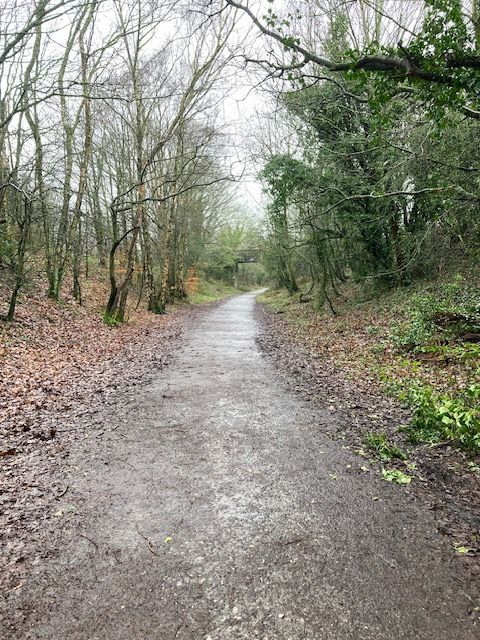
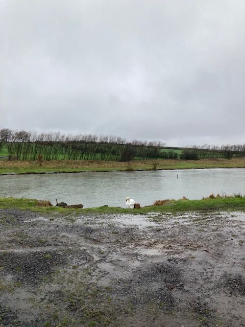
This is a moderate circular route of 5.8 miles. We start from Broompark picnic site and set out W for a short distance along the Deerness Valley Railway Path. We then turn N and E along a bridle path that was very wet and muddy at the time of the recce and continue along this until we meet the Lanchester Valley Railway Path. This takes us NW, past the Aldin Grange fishing lakes and through woodland at the edge of Bearpark. We then do a U turn, towards Bearpark Hall Farm and follow a bridle path SE along the other side of the River Browney and down Moorsley Banks to the road. A very short stretch of walking E along the road is followed by us crossing the River Browney again, to reach the Lanchester Valley Railway Path for a second time and we follow this back through Baxter Wood, to the start point. The majority of this walk is on well established paths, however, the recent rain has meant that these are all very wet, so gaiters and sticks might be handy in places.
After the walk, refreshments will be available at the Bespoke Tearoom in Sacriston - directions are given below.
Directions from Chester le Street
A167 S to Nevilles Cross Traffic Lights; turn R onto A690 W; at next roundabout, take 2nd exit onto B6302, Broom Lane; after about 0.5 mile, look for brown sign on left for Railway Paths Picnic Area; this left turn will take you to the Broompark Picnic Site carpark.
After the walk, to reach the Bespoke Tearoom - follow the above route in reverse: when you reach the roundabout at the Red Lion Pub, Plawsworth on the A167, take the first exit for Sacriston on the B6312; drive through Nettlesworth and continue to Sacriston crossroads, where you will see the tearoom on the corner, ahead of you; turn R onto the Front Street and then take the 2nd left turn, marked for parking and Community Centre; there is usually plenty of parking on the road, adjacent to the Fulforth Centre and there is a small car park at the end of this road if required.