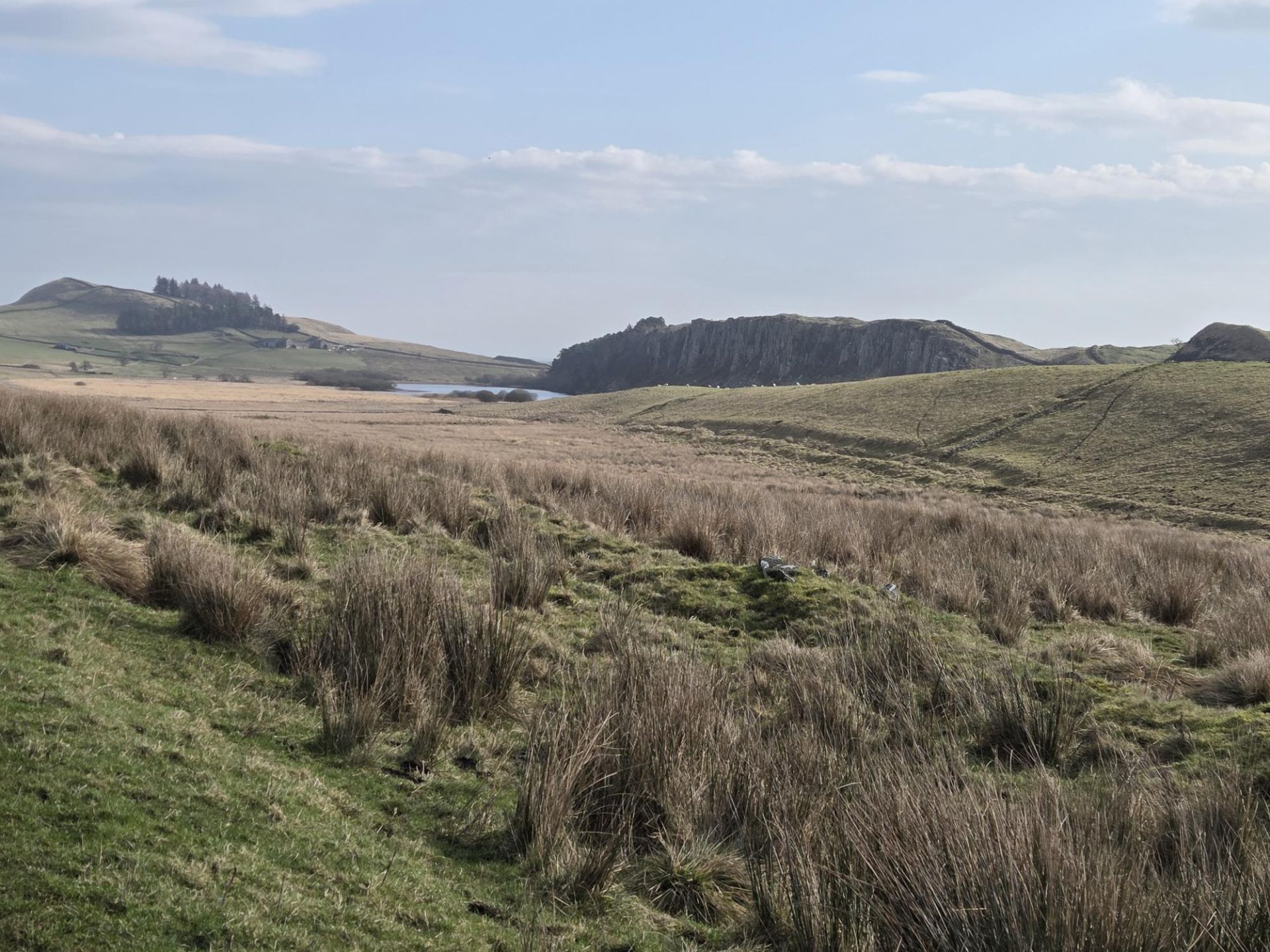
This is a 9-mile circular walk on a classic Northumberland route, including the dramatic landscape of the Whin Sill and the historic setting of Hadrian’s Wall. Alternative route approximately 7.5 – 8 miles. The walk combines expansive views across the Whin Sill ridge with iconic Roman landmarks. There are options to shorten or ease the route for those preferring less demanding terrain and distance.
Key Landmarks include - Peatrigg, Broomlee Lough, Crag Lough, Kings Wicket (Busy Gap), Housesteads Crag, Sycamore Gap and Peel Crag.
Route Description
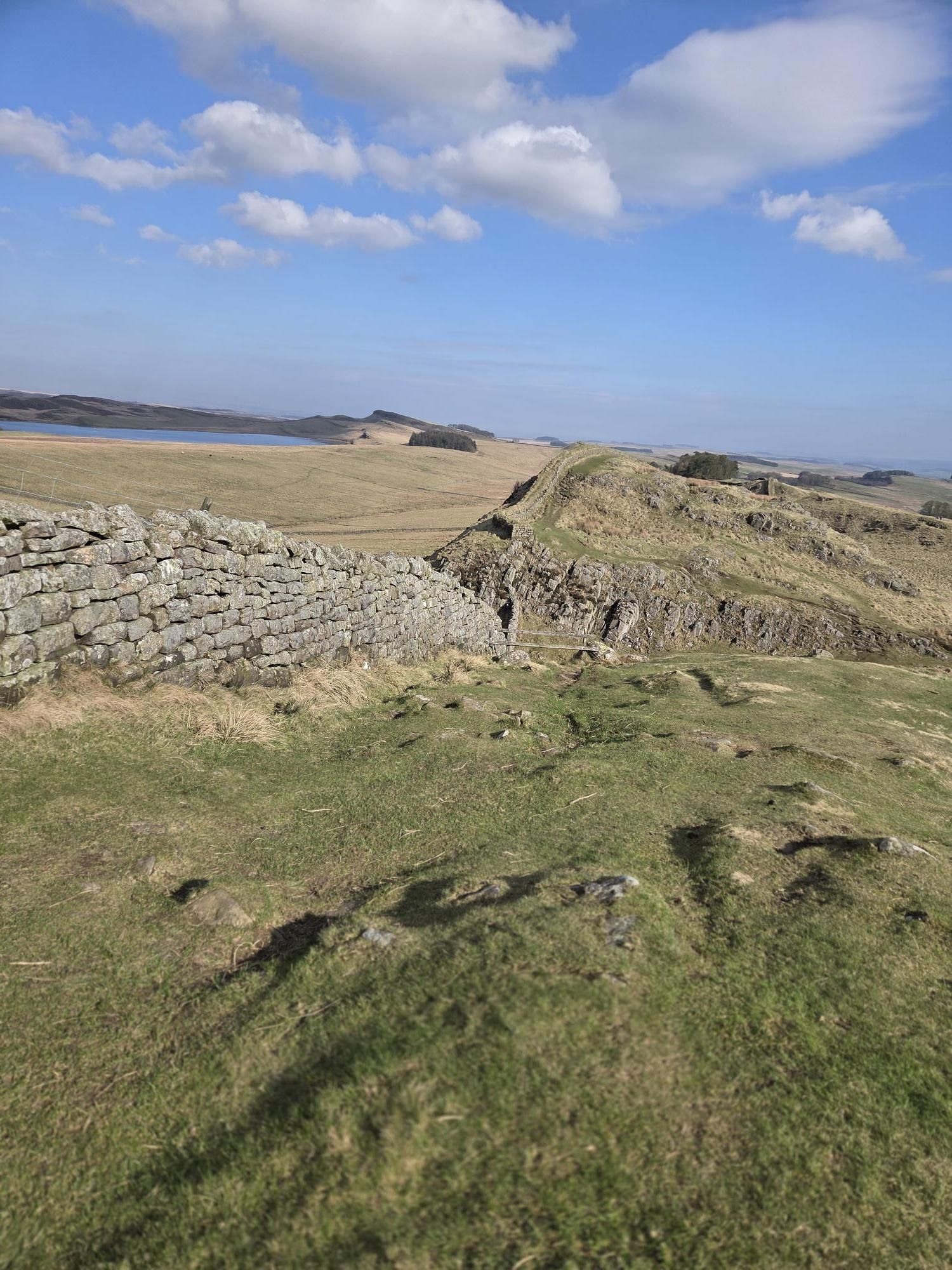
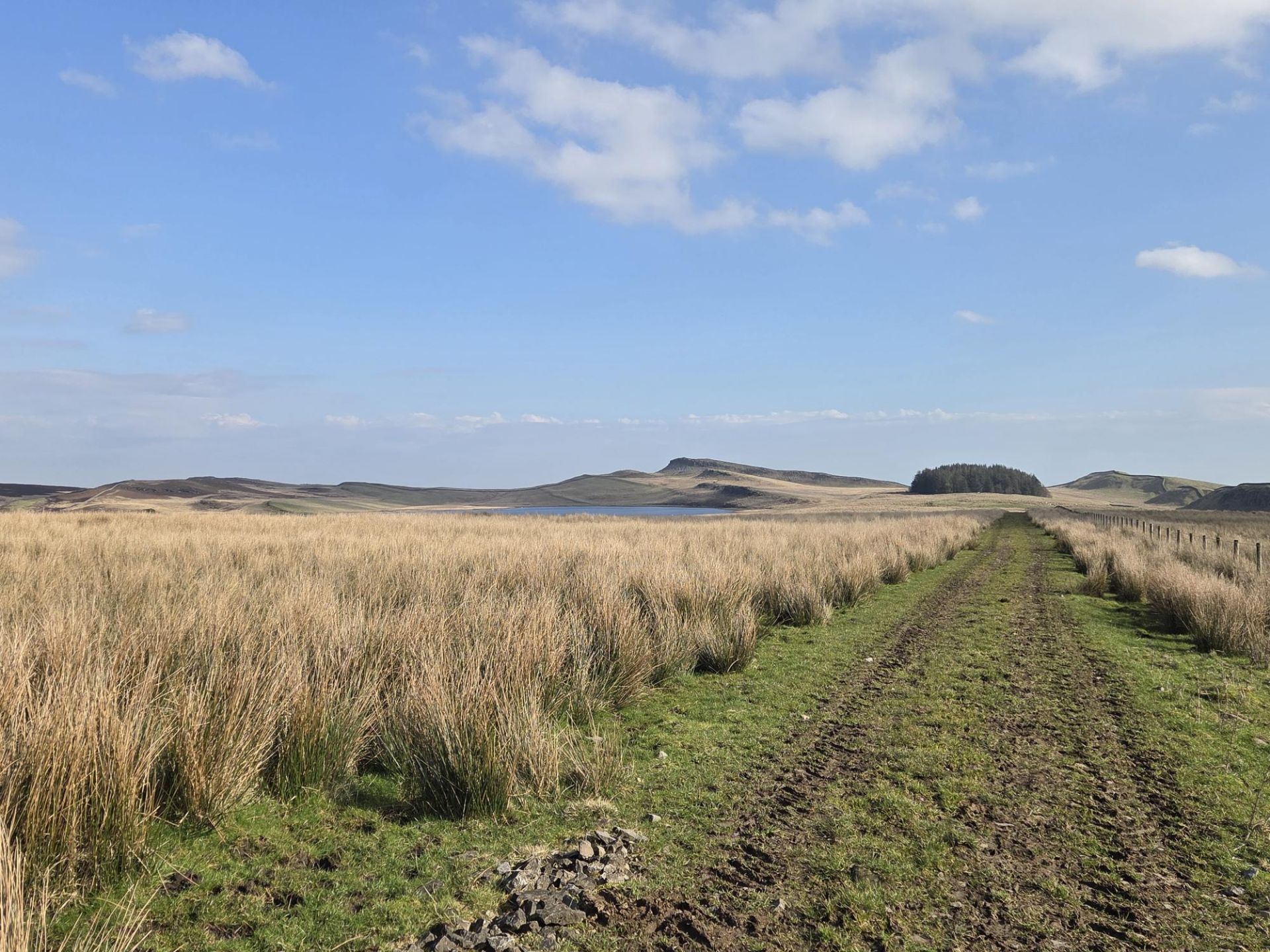
From The Sill, cross the Military Road and head north towards Hadrian’s Wall. Ascend to Peatrigg for panoramic views across Crag Lough and Broomlee Lough. Continue along the path to Kings Wicket, joining the Hadrian’s Wall Path eastwards to Housesteads Crag.
Lunch
Lunch will be at Housesteads Crag, offering excellent views.
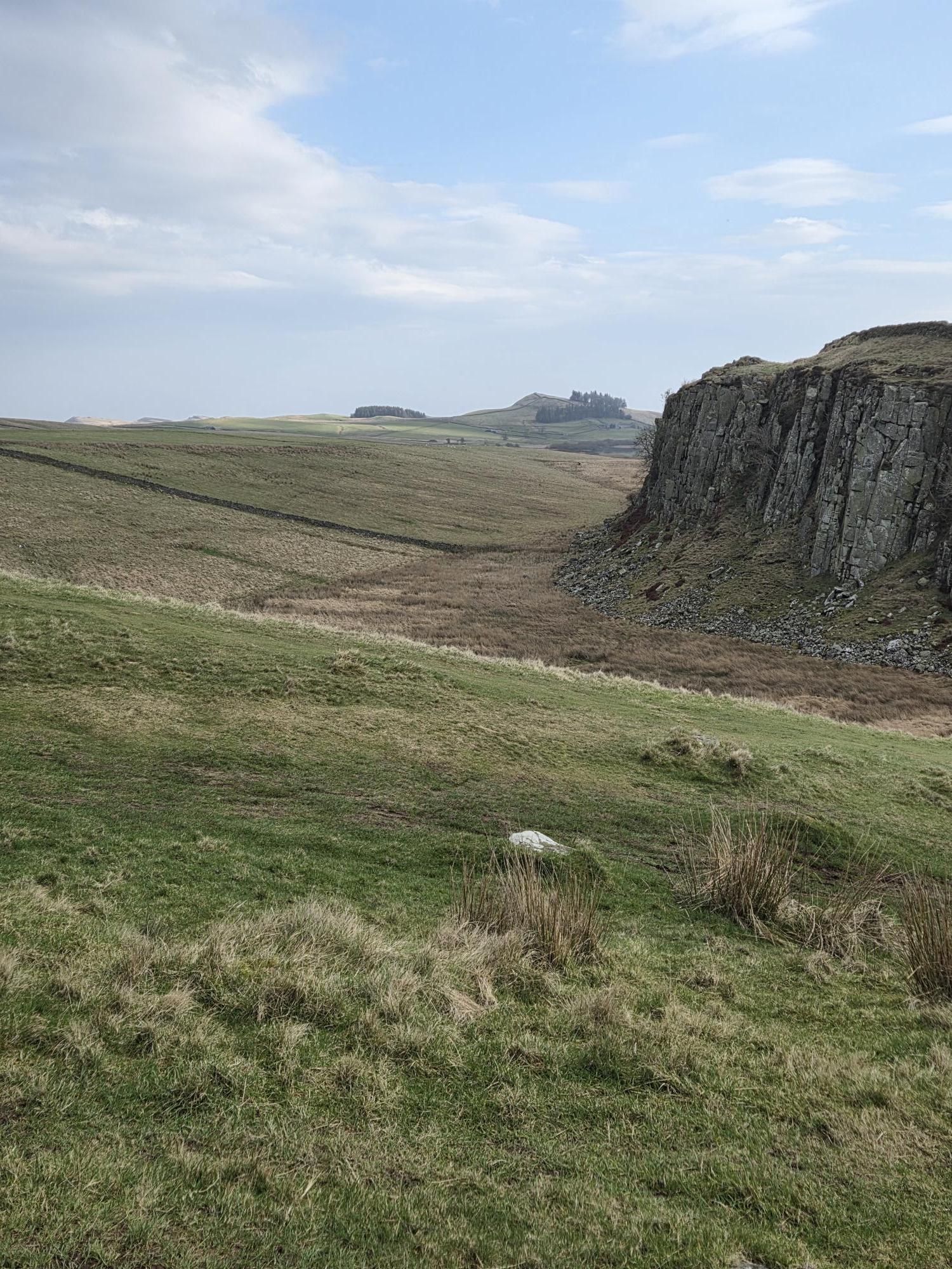
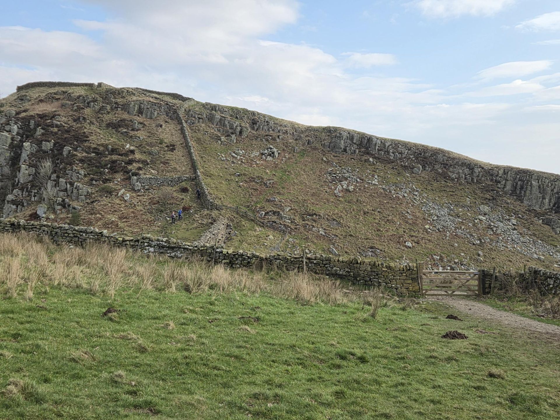
After lunch, the route heads west along the Wall, passing Cuddy’s Crags and the cliffs above Crag Lough, before crossing the Pennine Way towards Sycamore Gap. The walk then continues to Peel Crag, descending via steep stone steps.
Return
A gradual downhill route leads back to The Sill car park.
Alternative Options
- Pre-Lunch Option: A less strenuous path leads directly to Housesteads Crag to rejoin the main group for lunch
- Post-Lunch Option: Instead of the undulating Wall path and steep steps, walkers may follow the lower, flatter Roman Military Way from Housesteads Crag to the gate before Peel Crag, where the group will wait to gather before returning to the car park.
Terrain
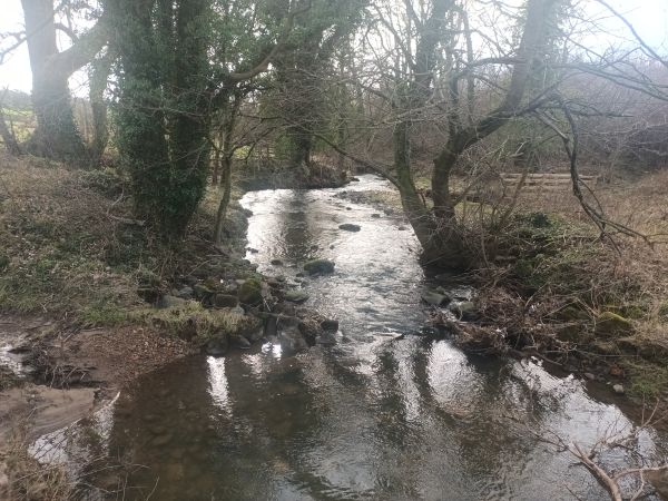
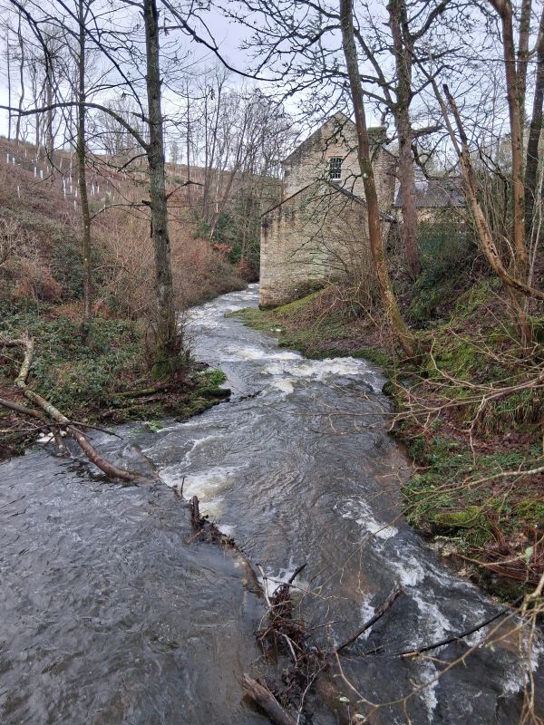
The route includes undulating crags, grassy moorland paths, and steep stone steps, with several short but sharp ascents and descents. Some sections may be muddy or boggy, but hopefully this will continue to dry out. Gaiters and walking poles are recommended if normally used. Alternative routes avoid the steep stone “nicks.” Gates and stiles but no issues and all in good order.