greater manchester and high peak area logo

Greater Manchester & High Peak Area

We are the Greater Manchester & High Peak Area Ramblers. We open the way for everyone in our local community to enjoy the pleasures of walking.

Join the Ramblers and enjoy

  • unlimited free access to 50,000 Ramblers group walks
  • a library jam-packed with thousands of tried-and-tested routes
  • a welcome pack teeming with top tips plus our Walk magazine
  • exclusive discounts from our partners
  • knowing your support is opening up more places to walk and helping more people discover the joy of walking

Overview

Area Sunday Strenuous Walk.

Distances are over 10 miles.

Please note, this walk replaces the Marple circular that is shown in the printed programme.

Linear walk. No booking required.

Leader – Simon Cleverley (07506 479662)

Distance - 11 miles

Sunday, 22 February 2026

Meeting time & place: 

09:45 at Manchester Victoria station to catch the 09.54 to Hebden Bridge.

Start time & place: 

10:25 at Hebden Bridge station after the arrival of the train from Manchester, due 10.24 

Estimated finish time & place: 

16.30 at Todmorden station.

Difficulty: 

Strenuous

Distance: 

17.7km / 11.0mi

Ascent: 

1750 ft


Note: walkers are advised to check one of the rail websites such as nationalrail or trainline close to the departure time in case of late changes to the running of the train.

Train ticket - return to Hebden Bridge (if you have a GM concessionary travel card this can be bought from Littleborough).

Car parking available at both stations.

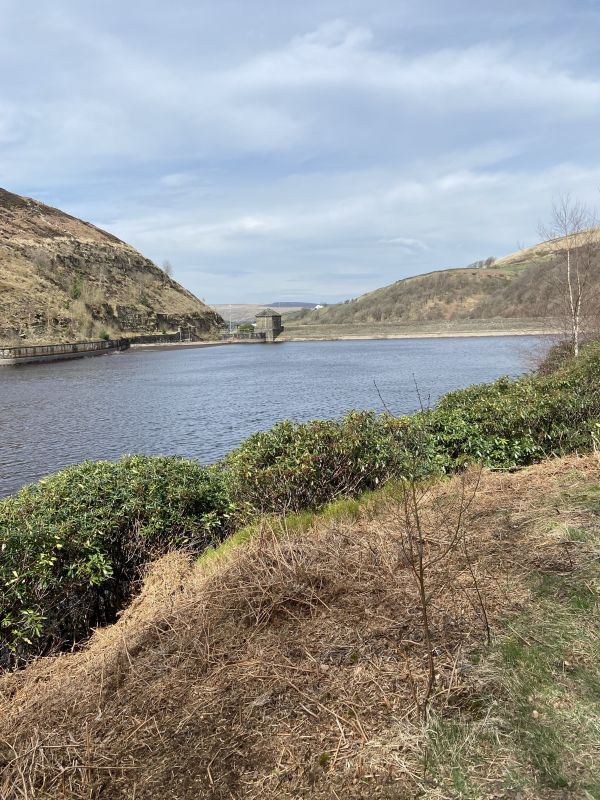
Walk route - Lumb Bank, Mount Pleasant, Standing Stone Hill, Egypt, Colden Water, Great Bride Stones, East Whirlaw, Todmorden

There is a steady climb out of Hebden Bridge to the trig point at Standing Stone Hill, then largely level until the highest point at Great Bride Stones (1445 ft) before a steep descent into Todmorden. Many paths and surfaces are good but there is a stretch around Colden Water that is uneven and potentially boggy and there will of course be mud when crossing the moors. If the weather allows there are excellent wide ranging views.


Sunday, 22 February 2026
Meeting time:
9:45 am
Start time:
10:25 am
Estimated finish time:
4:30 pm
Difficulty:
Strenuous
Distance:
17.7km / 11.0mi
Ascent:
531.9m / 1745ft
Type:
linear

Walking boots and clothing (including waterproofs if wet weather is possible) are essential. Lunch and non-alcoholic drinks should be brought.


Features

  • Accessible by public transport

Meeting point

Grid reference:
SJ 83943 99025
Nearest postcode:
M99 1ZW
what3words:
lease.became.arrow
Meeting time:
9:45 am

Starting point

Grid reference:
SD 99517 26809
Nearest postcode:
HX7 6JE
what3words:
surely.outfitter.quietly
Start time:
10:25 am

Finishing point

Grid reference:
SD 93517 24158
Nearest postcode:
OL14 7AN
what3words:
prance.capillary.dish
Estimated finish time:
4:30 pm

Join the Ramblers and enjoy

  • unlimited free access to 50,000 Ramblers group walks
  • a library jam-packed with thousands of tried-and-tested routes
  • a welcome pack teeming with top tips plus our Walk magazine
  • exclusive discounts from our partners
  • knowing your support is opening up more places to walk and helping more people discover the joy of walking