pocklington group logo

Pocklington Group

We are the Pocklington Ramblers. We open the way for everyone in our local community to enjoy the pleasures of walking.

Join the Ramblers and enjoy

  • unlimited free access to 50,000 Ramblers group walks
  • a library jam-packed with thousands of tried-and-tested routes
  • a welcome pack teeming with top tips plus our quarterly Walk magazine
  • exclusive discounts from our partners
  • knowing your support is opening up more places to walk and helping more people discover the joy of walking

Overview

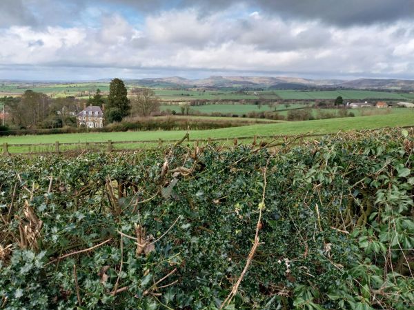
Although Roseberry Topping is the obvious highlight and involves the most challenging ascent and descent it is only the fourth highest point on the route which has plenty of ups and downs but also long stretches of quite easy high-level walking, mostly on good tracks and paths.

The start is along a quiet lane for nearly a mile, gentle at first but steepening beyond Bankside Farm. Leaving the lane there is a further mile of gentle ascent along woodland tracks before emerging at Captain Cook’s Monument, at around 1050 feet, the Stage’s highest point.

There is then an easy descent followed by a steep but short ascent.  A mile of easy walking takes us to the junction with the spur to Rosberry Topping. Reaching this involves a steep drop followed by the day’s hardest climb which is then reversed to return to the main path. This point is about half-way in miles but well over 75% of the climbing has been accomplished.

There is another fine view at Highcliff Nab and wonderful views northwards as we proceed along the edge of the escarpment in a long, mostly gentle descent to Slapewath.

Wednesday, 28 June 2023
Start time:
10:00 am
Estimated finish time:
3:45 pm
Difficulty:
Moderate
Distance:
16.9km / 10.5mi
Ascent:
457.2m / 1500ft
Type:
linear

The Pocklington Group are walking the Cleveland Way in stages from Helmsley to Filey. A hired coach (charges apply) is being used to take walkers from the meeting point of each walk to the start point of each stage. Pre-booking on the walk is therefore essential and this section is now fully booked.

Please contact Martin Hill mph60@btinternet.com if you would like to be placed on the reserve list in case a place becomes available.

Features

  • Refreshments available (Pub/cafe)

Starting point

Grid reference:
NZ 64198 15854
Nearest postcode:
TS14 6PY
what3words:
little.fermented.lift
Start time:
10:00 am

Slapewath is on the A171 just west of Charltons. There is a small loop off the A171, which is basically all there is of Slapewath. There are some houses and the Fox and Hounds pub, but the loop is mostly quite wide. There are places to park to park on the loop, which is about ¼ kilometre in length, but spaces are limited so please park considerately to both ensure that there is enough space for us all and also the residents.

Finishing point

Grid reference:
NZ 64099 15801
Nearest postcode:
TS14 6PY
what3words:
stunning.prouder.waitress
Estimated finish time:
3:45 pm

Slapewath is on the A171 west of Chorltons. There is a loop off of the A171, which is basically all there is of Slapewath. There are some houses and the Fox and Hounds pub there so there is parking by residents in the loop with some parking. Please park with care somewhere on the loop as spaces are limited and we all need to fit our cars in! If you get there early there is a good cafe that opens at 9am.

Join the Ramblers and enjoy

  • unlimited free access to 50,000 Ramblers group walks
  • a library jam-packed with thousands of tried-and-tested routes
  • a welcome pack teeming with top tips plus our quarterly Walk magazine
  • exclusive discounts from our partners
  • knowing your support is opening up more places to walk and helping more people discover the joy of walking