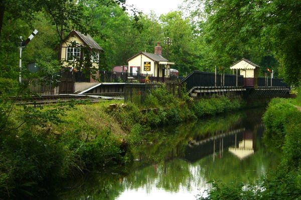
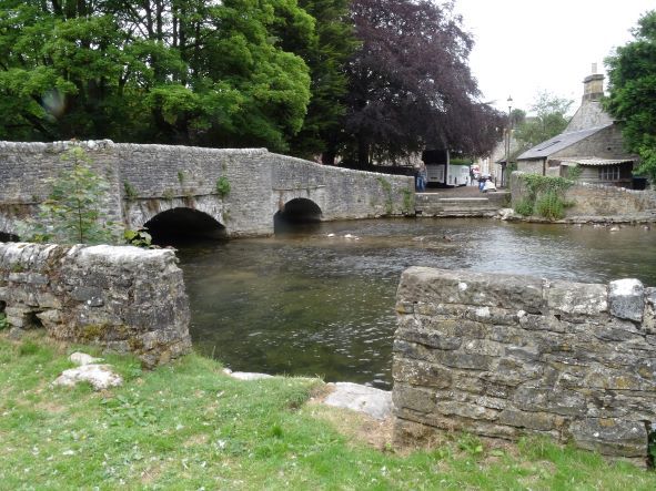
Whaley Bridge in the Goyt Valley hit the news a few years back when it looked like the dam of Toddbrock Reservoir that overlooks the town was going to give way. Fortunately disaster was adverted, and the dam repaired. The walks today may well visit the reservoir or head south along the Midshires Way. You could take in the canal that runs north along the Goyt Way to join the Peak Forrest Canal.
Three walks will be available, with details circulated on the coach, and will range from easy to strenuous depending on the walk selected.
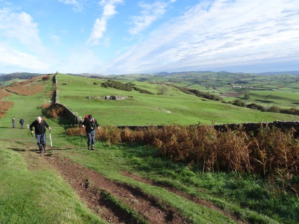
A Walk Leader - Clare Vattev - 11mls 2000ft approx ascent. A circular walk from Whaley Bridge heading west along the side of Toddbrook Reservoir, taking paths and a short road walk before climbing Sweet Hill to join the Gritstone Trail and head south to the view point on Sponds Hill. Turning east to descend to Near Carr Farm and another ascent to Fivelane Ends before a short road walk takes us to Windgather Rocks. Continuing with a descent to turn north along the River Goyt with a woodland walk back into Whaley Bridge.
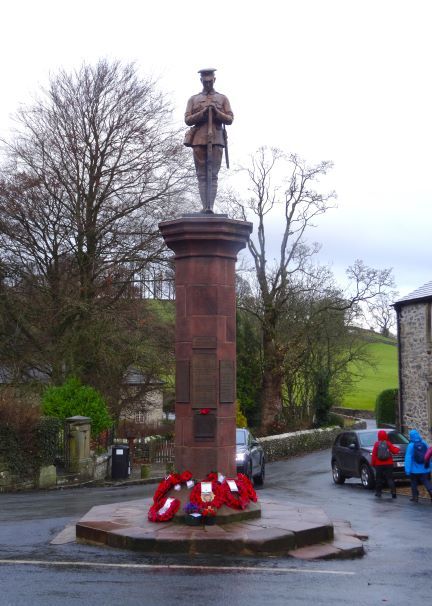
B Walk Leader - Derek Hulse - 8 miles approx. 1400ft elevation. A circular walk starting in Whaley Bridge. We begin by walking through the War Memorial Park on our way to the historical Taxal church. Then it's up to Taxal Edge, and Windgather Rocks. Followed by a descent to the river Goyt for a riverside walk, where we might meet up with the "A" walk group on their way back to Whaley Bridge.
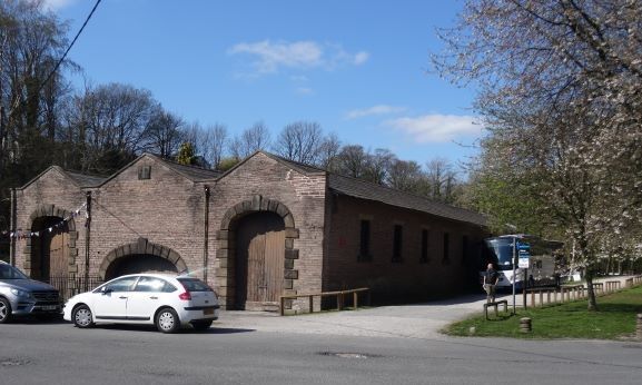
C Walk Leader - Derek Cook - Just over 6 miles with 477ft of ascent. We head north along the Goyt Way to join the Peak Forest Canal towpath and walk east to Bugsworth Basin. Followed with a short section of the Peak Forest Tramway Trail before reaching Brieley Green. We then head north to Gowhole and rejoin the Peak Forest Canal and the Goyt Way back to the coach.