Introduction:
This is the third of four walks I’ve planned in October across two weekends, aiming to showcase Dorset’s wonderful variety, which are intended to fulfil my personal fundraiser in support of Greenpeace, helping ensure I’ve completed at least 93 miles in that month. I’m posting my walk via Ramblers so it’s widely available to all, including non-members.
Please note it isn’t implying The Ramblers Association directly supports Greenpeace, though both organisations certainly espouse a love of nature.
If you’re interested in making a donation to my ’31 Miles for Nature’ effort please contact me directly on the number quoted below and I’ll send you the link to my page.
I need to know how many are coming, so there is a booking system – see link below.
Walk Description:
Note: although recorded as ‘Leisurely’ this is about the difficulty of the route, not about pace. Dorset 4050 group walks quite briskly; this route isn’t demanding of terrain, but if you have any concerns about fitness/capability please contact the walk leader in advance.
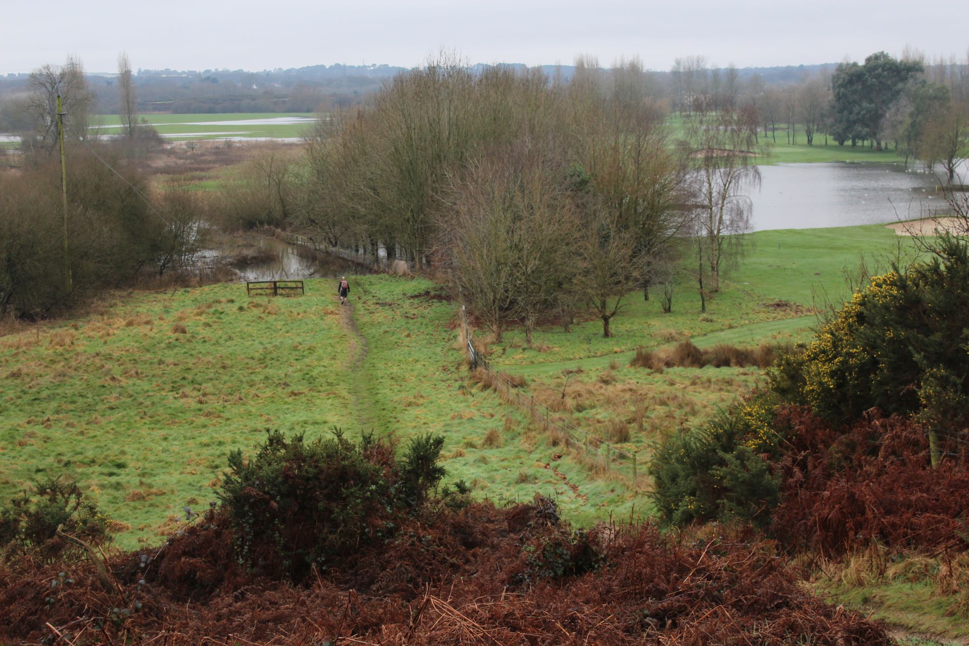
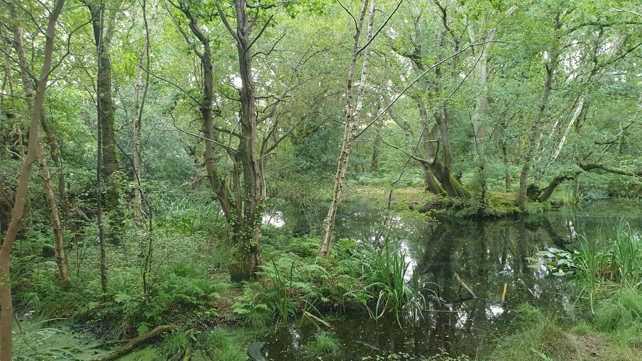
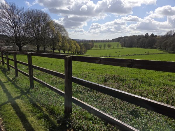
The Stour is one of the primary rivers in East Dorset, albeit beginning in Wiltshire, and one that regular walkers bump into frequently. Via the Stour Valley Way (SVW) this route aims to showcase some of the river’s intertwine with urban and rural as it bends its way 60+ miles from the sea at Christchurch, through North Bournemouth and on beyond Wimborne and Blandford. It was used several thousand years back as a waterway linking a chain of prehistoric settlements that include Hengistbury Head on to Hod and Hambledon Hills, beyond Blandford. I’ve picked one section starting in the Bournemouth area that includes Dudsbury, itself a lesser-known iron age hill fort in that chain and one of the few high points on the SVW before you reach Hod. It’s almost completely level, on good paths and takes in some lovely trails along the riverside, through low-lying meadows to Longham, then the rural hinterland of Ferndown. A brief section through the town takes us to rugged Parley Common, rejoining the SVW close to the airport as we head across the lush meadows to re-cross the river at Throop Mill, close to our start point. We’ll aim to obtain welcome refreshment at one of the nearby hostelries, or even a cafe.
Meet Point (Description): Throop Mill Car Park.
Please use the car park considerately and liftshare wherever possible to limit the space we need, as well as our carbon footprint.
Postcode: BH8 0DN
whatthreewords code: boxer.leans.skip
Any additional guidance to reach meet point:
The post code is approximate. It’s better to use whatthreewords or alternatively use Google Maps and just enter ‘Throop Mill Car Park’.
Booking info
Please buy (free) tickets via Ticket Tailor using the following link:
https://buytickets.at/walksfordorset4050ramblers/1864335
Numbers are limited and at the discretion of the walk leader. Anyone turning up without booking beyond the planned maximum for the walk may not be permitted to start.
If you cannot attend please cancel your ticket through the site so others can take a place.
If any issues please contact the walk leader.
Leader: Andy
Contact number: 07786377101
What you need to consider:
- Bring packed lunch – there are brief drink/snack stops
- Toilet visit – very early on, another possibly mid-way.
- Good walking boots/shoes – be prepared for anything!
- Bring enough drink for the walk
- Dogs – assistance dogs only please