Walkers must book in advance with the walk leader
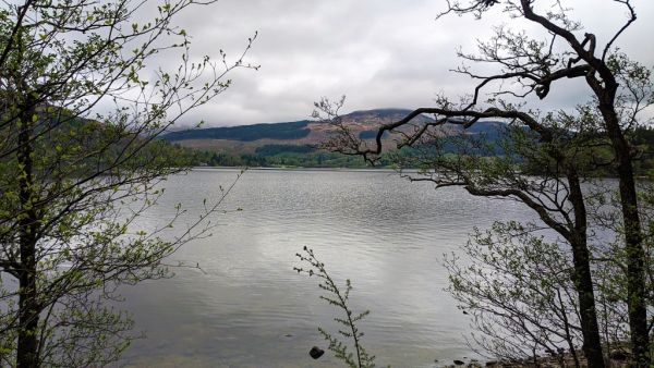
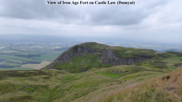
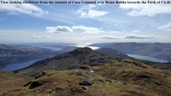
A pleasant walk at the western end of the Ochil Hills, mostly on good hill paths with extensive views of the River Forth, Stirling and Alloa.
Ascend a good steep hill path out of Menstrie and follow a grassy path up the eastern slopes of Dumyat to the summit. Descend north over a grassy hillside to join the farm track southeast of Lossburn Reservoir. Cross over to the eastern side of Menstrie Glen below the reservoir, pass the derelict farmstead and return to Menstrie down the undulating farm track and hill paths.
Local Grade: B
Terrain: Steep rough hill paths, open grassy hillside and farm tracks.
Max height: 418 m.
Maps covering route of walk: OS Landranger No. 58.