Do you want to lead a Ramblers walk, but worried that you're not very good at reading a map? This is the walk for you!
We will start by heading to a café where we can spend a bit of time looking at maps and going through some of the theory of map-reading and navigation. Then once you know what all the different lines and symbols mean, we'll take you out into the hills, and give you the chance to put it all into practice.
We'll give you maps with the route on, and there will be a few of us who are experienced leaders on hand to give you some tips and pointers and show you how to match the map up with the landscape around you, but it's up to all of you to work together to navigate us round the route!
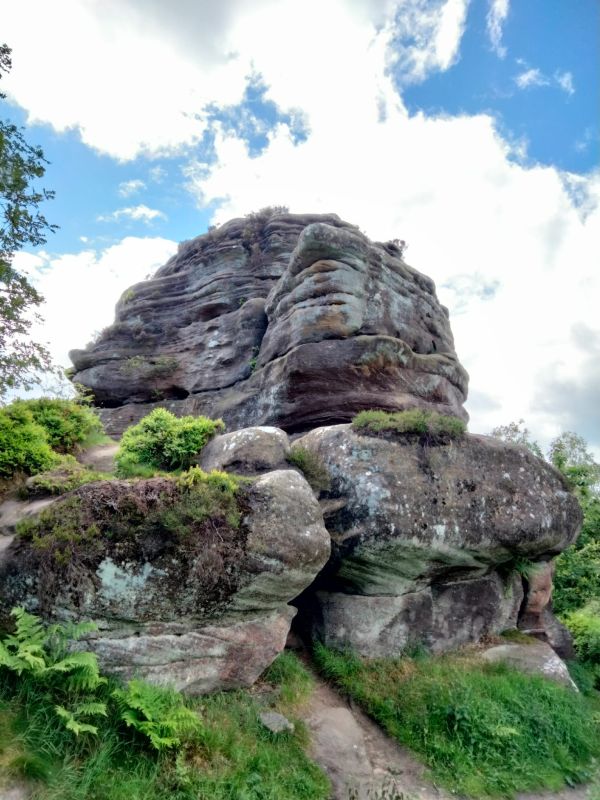
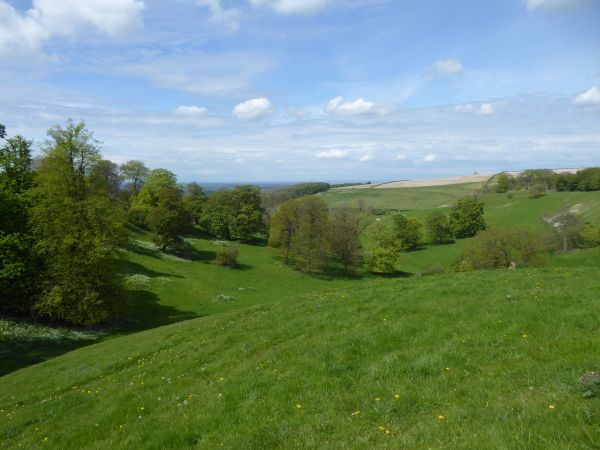
The route takes in forest tracks, paths through farmland, quiet country lanes, and open moorland. You'll get to enjoy great views across the North York Moors with woodland, moors, streams and hills ... yes, there are a few hills, but that's all part of the fun.
🅿️ Cleveland Way car park, Helmsley, YO62 5AZ - £7.90 all day
🐶 Dogs are welcome, but must be well-behaved in the café and be kept on a lead at all times on the walk
🥪 You may want to bring a packed lunch, depending on what you're planning to have in the café in the morning – please bear in mind that it will take longer than a normal 8 mile walk
🗺️ If you have a copy of Ordnance Survey map OL26 and/or a map case, it may be helpful to bring these along – the more maps we have, the better!
Midlife Hikers is a Ramblers group for people in their 40s and 50s, and our walks are led by volunteers. Non-members are welcome to try us out for free for up to 3 walks but then we ask you to join the Ramblers