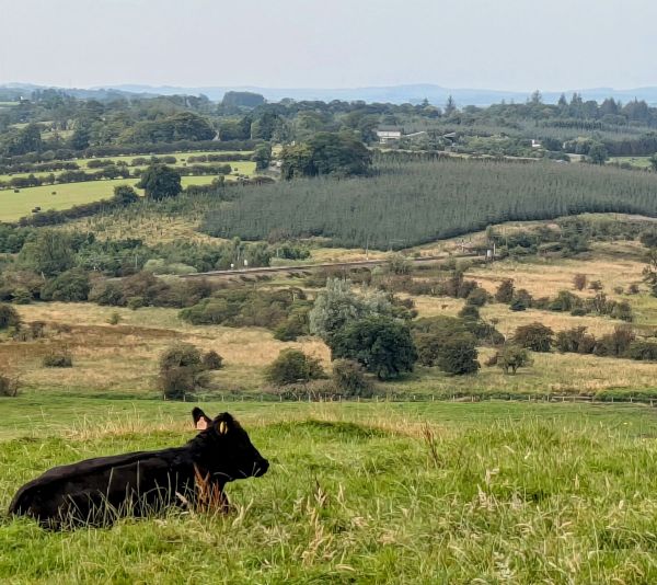
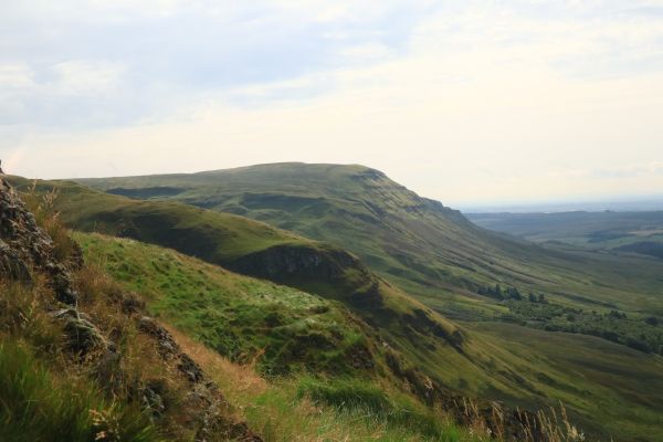
A relatively straightforward circular route from Maybole train station , utilising quiet country lanes, old coach roads and grass paths. There is a fair amount of gradual ascent, plus the final summit climb to Kildoon Hill and the monument atop, which is located in the ramparts of a prehistoric fort. We will stop for a break around 11.30 on our return to the old coach road after the monument (where there are parts of a old wall to sit on). There were no cattle in the fields or at the monument on the recce, however there was evidence that livestock use the field so care should be taken. There is a stile to cross and an old wooden bridge to navigate.
The walk is graded at c+, approximately 6 miles distance with an elevation of approx. 520 feet.
We will be crossing fields so it may be mucky if wet, boots and gaiters would be useful in those circumstances. The walk is just over 3 hours, ending around 1.30 pm. There is a cafe near the end of the walk at the station and benches outside the nearby Carrick Centre if you want to stop for lunch/coffee at the end of the walk.
There is a public toilet in the main street, which we pass on the outward and return journey although it appears to only accept contactless payments.
If travelling by train please let me know when your train gets in (Sunday timetable). There is parking available at the train station and at the adjoining square. Postcode for Maybole train station on Culzean Road is KA19 8DS.