telford and east shropshire group logo

Telford & East Shropshire Group

We are the Telford & East Shropshire Ramblers. We open the way for everyone in our local community to enjoy the pleasures of walking.

Email

Join the Ramblers and enjoy

  • unlimited free access to 50,000 Ramblers group walks
  • a library jam-packed with thousands of tried-and-tested routes
  • a welcome pack teeming with top tips plus our Walk magazine
  • exclusive discounts from our partners
  • knowing your support is opening up more places to walk and helping more people discover the joy of walking
1 of 0

Overview

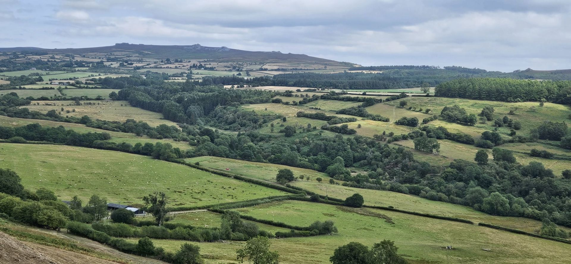
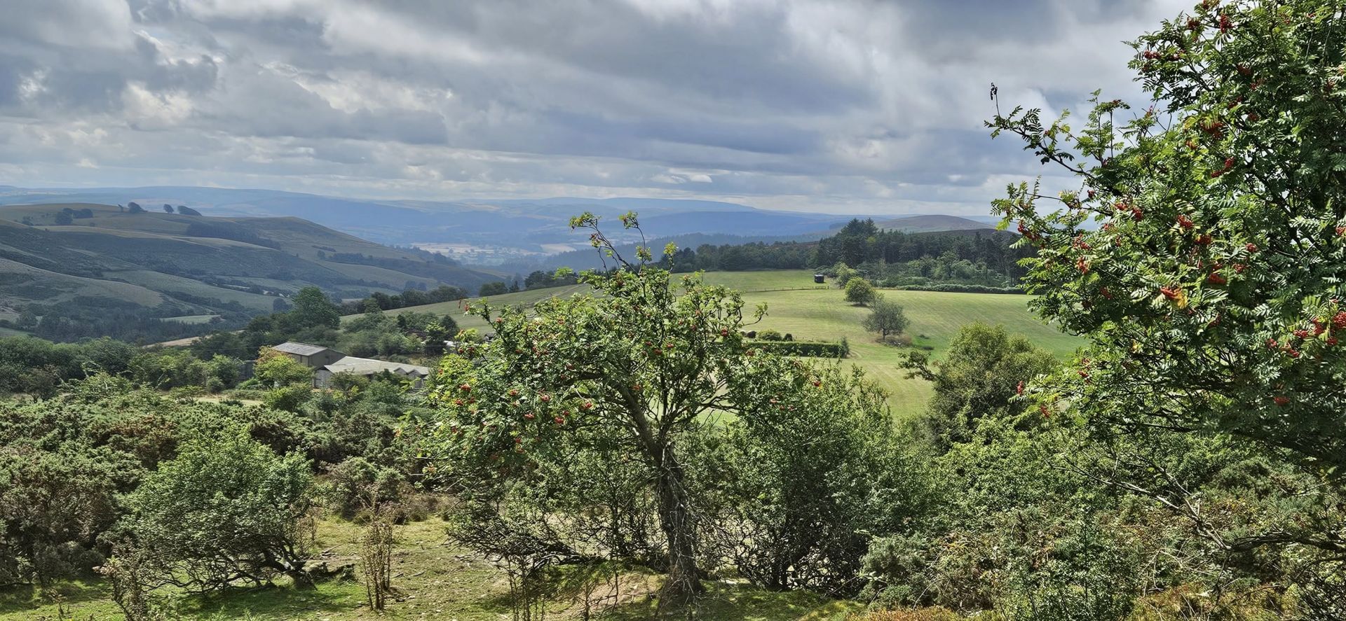
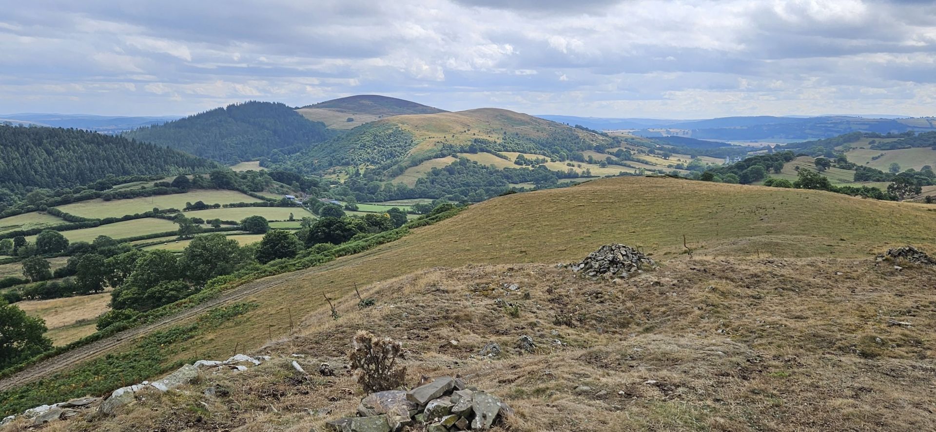
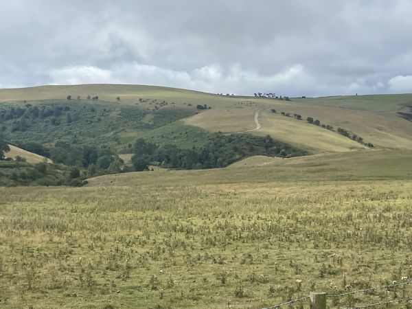
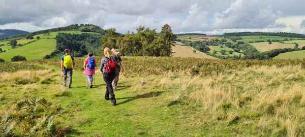
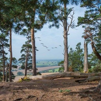
Shropshire's second highest summit is surrounded by lower hills with stunning views in all directions. This walk follows the bridleway uphill from the start at The Bog car park to join the Shropshire Way to walk along the rocky quartzite Stiperstones summit ridge. The route goes past the towering outcrops of The Devil's Chair, Manstone Rock and Cranberry Rock, and then across fields and the purple heather moors to Nipstone Rock. We then leave the Shropshire Way to descend through a forest, finally ascending over Mucklewick and Milk with more glorious views of the Stiperstones ridge and Corndon Hill to return to the walk start.

Thursday, 14 August 2025
Start time:
10:15 am
Estimated finish time:
3:15 pm
Difficulty:
Moderate
Distance:
13km / 8.1mi
Ascent:
400m / 1312ft
Type:
circular

Although the summit ridge paths follow the contours they are not flat and smooth as they are strewn with large, eroded quartzite rocks and sometimes there are narrow passages through the heather bushes, so stout footwear and poles are advised. There are stiles and three ascents but we will take the uphill sections slowly to give plenty of time to appreciate the views. During mid August there may be both bilberries and heather in fruit and bloom though this year has been exceptionally dry so not necessarily appearing as usual. Due to path conditions the walk is not suitable for dogs on leads in a group, so assistance dogs only.  Please bring a drink, snack and packed lunch and contact the leader if you wish to arrange a car share. There will be an opportunity to visit the information centre after the walk which also serves teas and home made cakes.

Features

  • Refreshments available (Pub/cafe)
  • Car parking available
  • Car sharing available

Starting point

Grid reference:
SO 35745 97842
Nearest postcode:
SY5 0NG
what3words:
encoding.tenses.sandpaper
Start time:
10:15 am

Walk starts from The Bog free car park, it's approximately 100m past the Visitor Centre. The A488 is currently closed through the Hope Valley, ignore the road closed signs as it is open as far as Ploxgreen. Leave the A488 after Ploxgreen, take the first left to follow the lane through Snailbeach and Stiperstones village and where the road forks bear left, following the signposts to The Bog Visitor Centre.

Join the Ramblers and enjoy

  • unlimited free access to 50,000 Ramblers group walks
  • a library jam-packed with thousands of tried-and-tested routes
  • a welcome pack teeming with top tips plus our Walk magazine
  • exclusive discounts from our partners
  • knowing your support is opening up more places to walk and helping more people discover the joy of walking