This is a route of around 11 miles from Aldington, which explores an area to the south of the village. On it we drop down to the Royal Miltary Canal, visit two historic churches as well as a monument that overlooks the Romney Marsh.
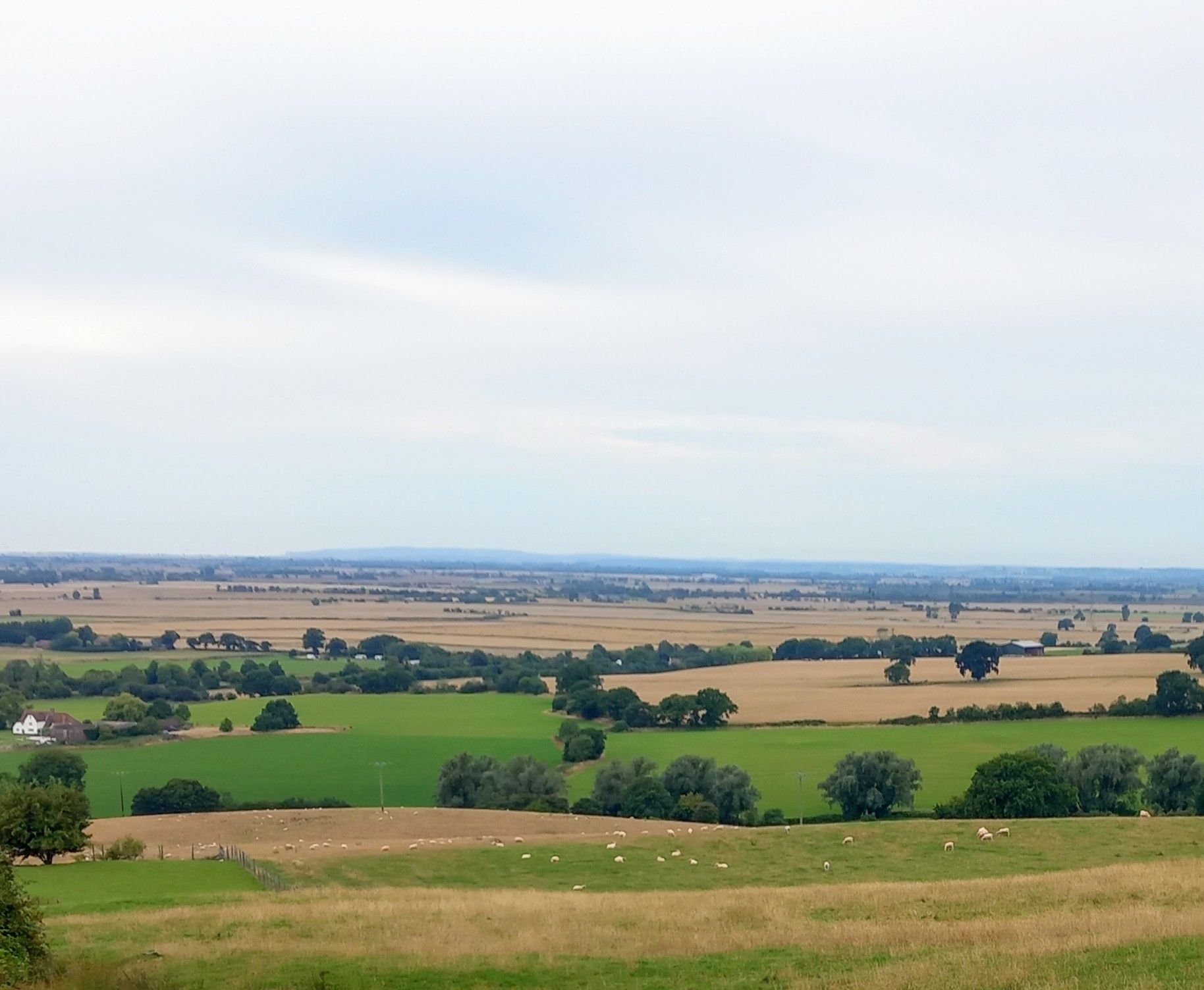
We set off beside the Walnut Tree Public House down Forge Hill, where we will pick up a path near to where the prison used to be situated, before joining the Saxon Shore Way (SSW). We make our way over open pasture & woodland to reach the B2067 at Ruffins Hill. There is a verge for us to use if needed, then follows a delightful section of the SSW, that provides a wonderful panoramic view down to the coast and over to the Fire Hills & Fairlight in East Sussex.
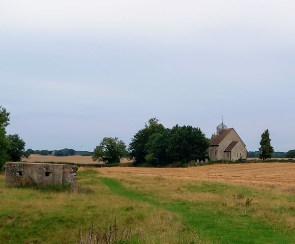
On reaching Honeypot, we start our descent beside the remains of the Chapel of our Lady, to soon reach the Royal Military Canal Path (RMCP). We head along the RMCP where you will see a few Pillboxes along the way, as we make progress to Bonnington, then Bilsington.
We detour off the RMCP to visit the St Rumwolds church at Bonnington, where lies the grave of nearby Aldington resident Paul O’Grady. Then a mile further on, we will stop by the church of St Peter and St Paul, the 15th century bell stands proudly outside the church. It was taken down many years ago as the belfry was considered too frail to support it.
Next up is the Cosway Monument, which stands 52 foot high and was built in 1835 in memory of Sir William Richard Cosway, who once owned Bilsington Priory. A pit stop at the White Horse pub will be most useful, before continuing up Priory Road and into Priory Wood, after rejoining the SSW. The planned route was to follow the SSW for the return to Aldington, but an enclosed section is overgrown, so no choice to leave it when needed, before the finish.
There will be the usual picnic stop en route, as well as the White Horse refuel, whilst the Walnut Tree is useful for a post walk gathering.
Walk leader is Kevin Hall

.JPG?itok=vEBHKtDN)
.JPG?itok=RUHErRaL)
.JPG?itok=II8nuT47)
.jpg?itok=tcpxErYS)
.jpg?itok=AQq9Bs1F)
.jpg?itok=M4rOIVyw)
.jpg?itok=MZh3d9Sk)

.JPG?itok=PLADuLze)
.JPG?itok=nsOHDYiT)

.JPG?itok=DNatgRtP)
.JPG?itok=OsY9-lFX)