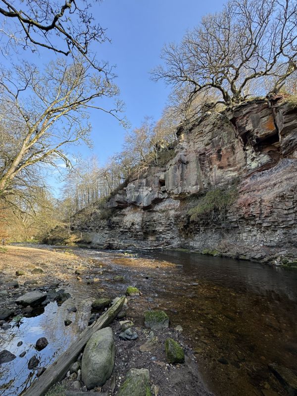
The initial ascent from the car park is steep. We will take this slowly. As you gain height you will be quickly rewarded by extensive views over Edinburgh. At the top of the initial climb the map indicates the existence of an old fort. There is little evidence of this other than a mound but someone has thoughtfully erected a bench where you can rest a while and enjoy the view. It’s fun to watch the skiers and riders of the alpine roller coaster enjoying the various delights of the Snowsports Centre although the occasional scream can be a little concerning!
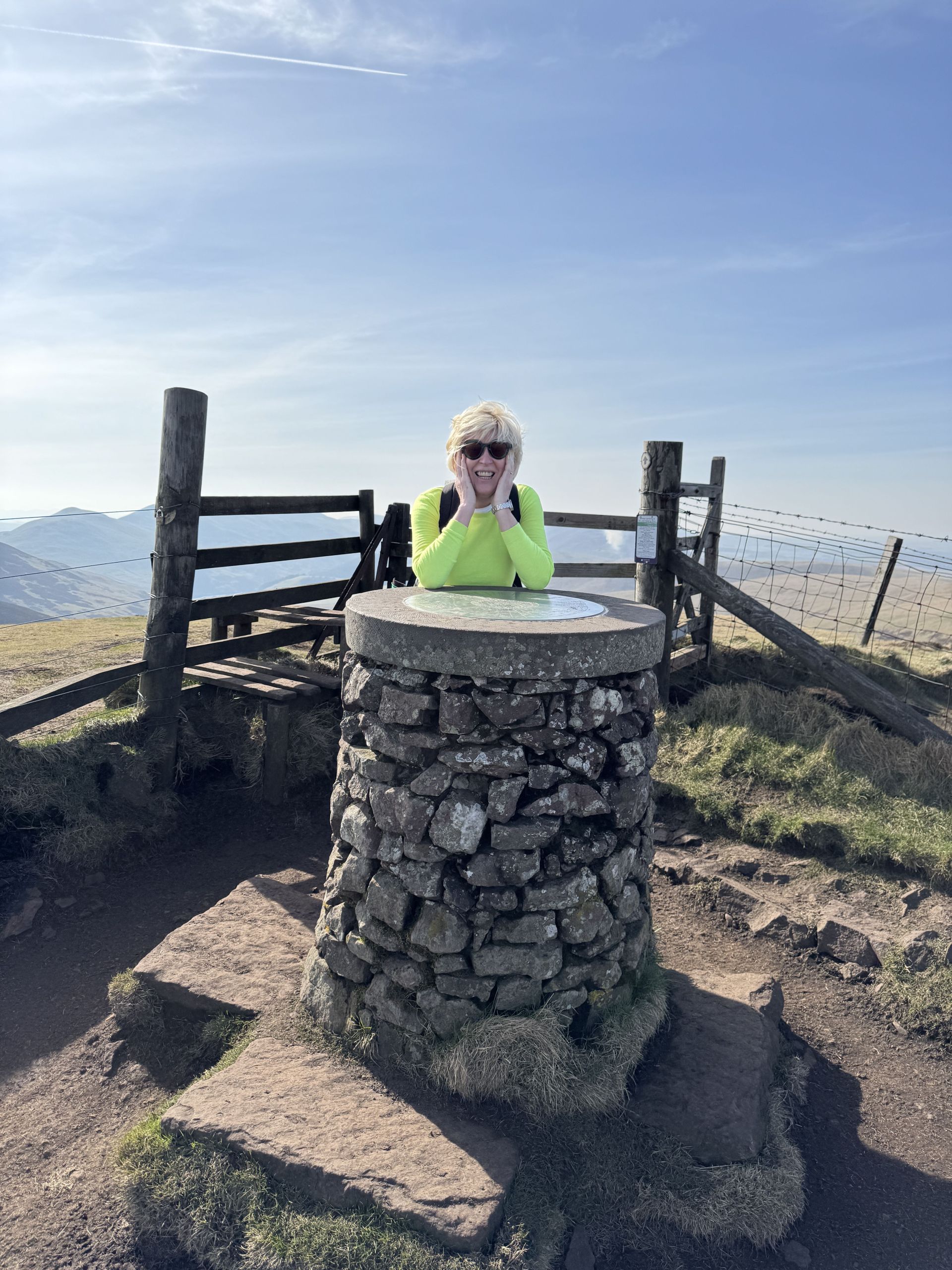
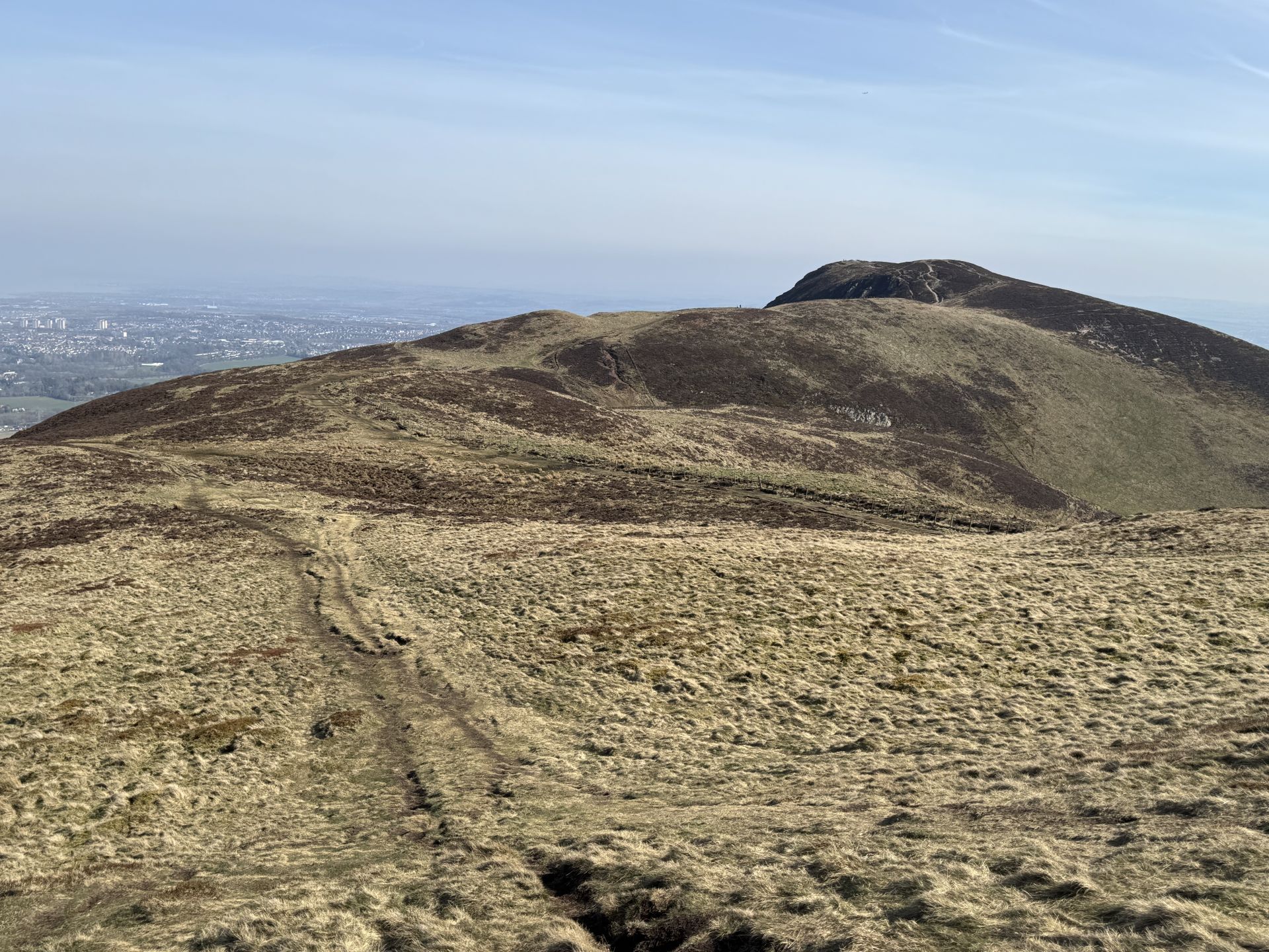
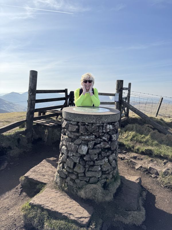
A path zig zags uphill once more climbing around 900 feet in just over half a mile to the summit of Caerketton Hill 478m and the scattered remains of a cairn. Pausing to catch our breath we then follow a gently undulating path virtually parallel to the fence line before our final short climb to the top of Allermuir Hill 493m. Here we will pause for lunch. The 360-degree panoramic views of Edinburgh, the Firth of Forth and the surrounding Pentland Range are fabulous.
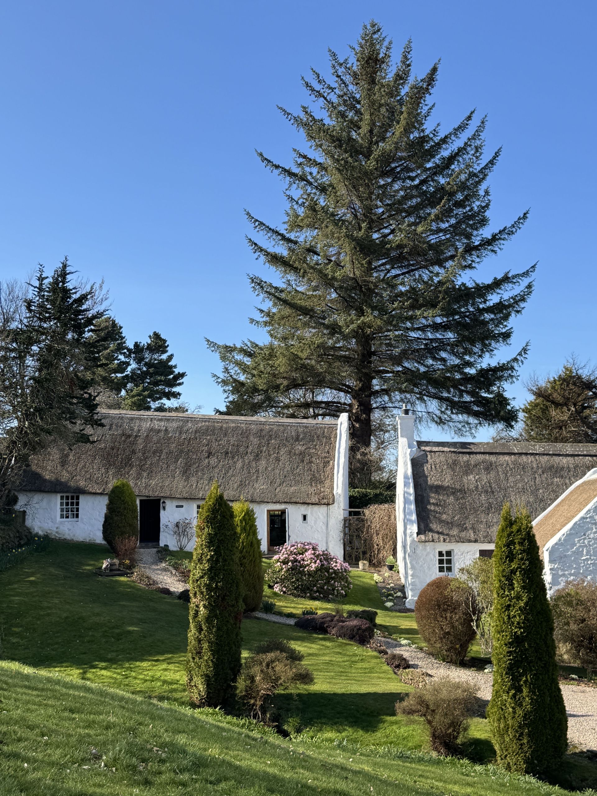
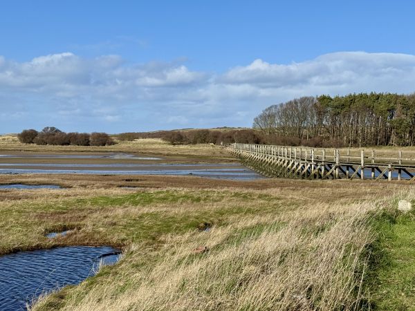
After lunch we make our descent. The initial grassy path downhill is narrow and can be a little slippery in wet weather. This opens out to a wider track, muddy in places which follows the Swanston Burn, through gorse bushes to the tiny isolated hamlet of picturesque thatched cottages set around a charming green. A place that seems almost frozen in time.
At this point, only 15 minutes away from a return to the car park and the end of our walk we have a choice to make. Continue immediately to the end of the walk past the friendly Highland cattle grazing in the farmers field, or pause a while for refreshment at The Swanston Brasserie https://swanston.co.uk/brasserie/ Open 09:30-16:00
The final section of the walk is via a short section of footpath along the A702 back to where we left the cars.
Wear sturdy walking boots preferably with some ankle protection. You may find walking poles are also beneficial for stability especially on the descent.
If you would like further information please get in contact.
There will be an alfresco lunch stop at the top of Allermuir Hill so please bring yourself a packed lunch. Frequent breaks will be taken during the ascent to drink and catch your breath.
Towards the end of the walk there is an opportunity to take further refreshment at the Swanston Brasserie. This also has toilets.