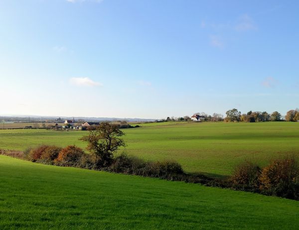
This is a walk of approximately 11.5 miles, that starts from the village of Egerton, which is situated nine miles north-west of Ashford and has magnificent views across the Weald of Kent and Ashford valley. Much of this walk, follows the Greensand Way (GW), a long distance route of 108 miles from Haslemere in Surrey to Hamstreet, the Greensand ridge runs broadly parallel south of the North Downs ridge.
Leaving Egerton, we immediately join the GW to head east, passing through Elvey Farm en route to Pluckley and onwards to Little Chart. Our route on the GW is then shared with the Stour Valley Walk, which we leave at Ram Lane to head south to Rooting Street to soon pass Rooting Manor. A stretch of quiet country lane follows, before reaching Pluckley Station, to soon turn in a northerly direction, once again on the GW,
Chambers' Green is next up, later we walk along Lambden Road through Pluckley Thorne and onward to Mundy Bois. There are actually four Public Houses located on this circuit, but our plan will be to stop at the last of these, for drinks at the Rose & Crown, which is situated at Mundy Bois. Following the pub stop we head back up to Egerton for the completion of the walk.
As well as the above mentioned pub stop, we will stop for our usual short picnic lunch stop at a suitable point on our travels.
Dogs welcome, but on a short lead when required.
Walk leader is Kevin Hall, who leads for the 100th time.
.jpg?itok=O-U1ICLx)
.jpg?itok=XwWgQ9y4)
.JPG?itok=aeLw_1d5)
.jpg?itok=5QNjy--G)
.jpg?itok=hJPaGXPD)
.jpg?itok=6oNxkYdU)
.JPG?itok=t9bgxWaj)
.jpg?itok=iAKgmm1r)
.jpg?itok=pQrGXr-_)
.jpg?itok=XndTP8Lg)

.jpg?itok=YGl4co1c)
.jpg?itok=m2e1hzBa)
.JPG?itok=yt3PUCfX)

.JPG?itok=w-5KvajJ)
.JPG?itok=5TRfnrBt)
.JPG?itok=0mZ9YiAz)