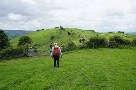
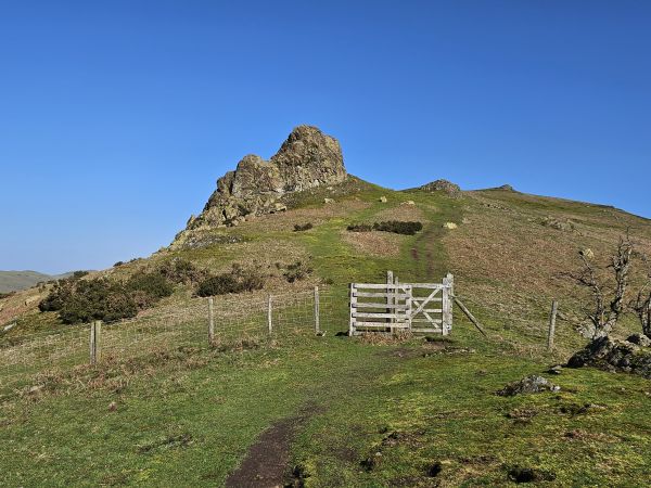
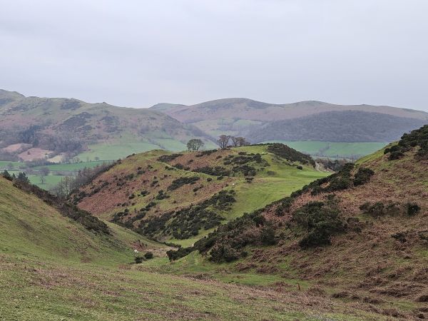
Context / Terrain: the event takes place on and around one of the higher Shropshire moorland areas and is largely exposed, hence the siting of the well known NATS / Met Office radars, circa 1941. The walk is undulating and includes a couple of significant 'down and up' banks. There is capacity for some wet areas underfoot. Short elements of both the Shropshire Way and Jack Mytton Way are included coupled with extensive views over several neighbouring counties on a clear day.
Appropriate clothing and footwear are suggested given the environment.