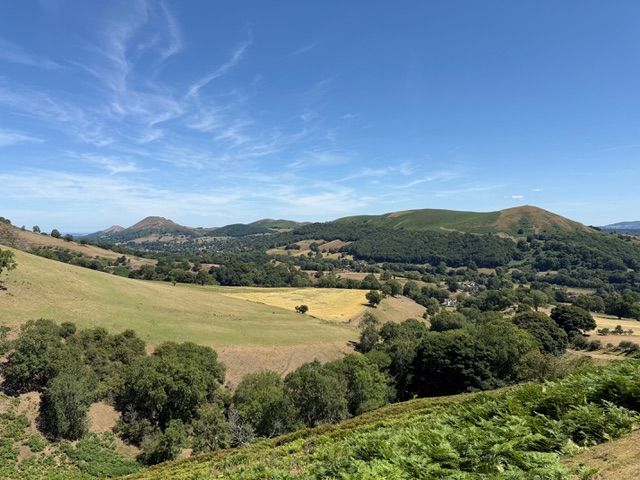
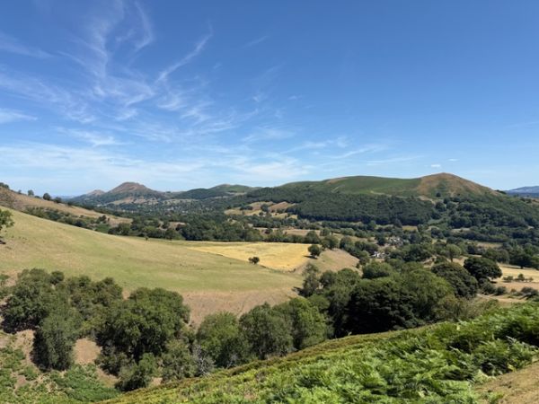
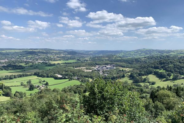
B WALK DESCRIPTION: The walk starts south of Church Stretton at the village of Little Stretton which lies at the foot of Long Mynd. From here we ascend the Mynd on a route which passes by Callow Hill, Barrister’s Plain and Round Hill. This is a long and gradual ascent, not at all steep, which offers beautiful views to right and left of us across the Mynd’s beautiful valleys and opportunities for pauses to enjoy these surroundings and many photo opportunities. We arrive at the wide plateau at the top of the Mynd and make a short detour to Pole Bank the highest point at 516 metres with distant views to the west well into Wales. After a short time on the plateau our descent route is flat at first before we start getting views of the panorama of hills to the east of Church Stretton; then down a bit more to the head of the Townbrook valley. To the side is Yearlet a small hill which we will circle round and ascend, a lovely little grassy hill and great views to the southwest. Back to the valley head we pick up a path to moorland and road on Burway Hill. From here it’s downhill to the last part of the walk a circuit of Rectory Wood and Field. Rectory Wood once formed part of the grounds of the rectory in Church Stretton. In around 1770 the rector made great changes to create a designed woodland landscape garden. It is said Capability Brown may have inspired the design. What we see today are some partially preserved remains of the designed landscape and some wonderful gnarled ancient trees. A striking contrast to the Long Mynd landscape! From the top of the town it’s a short walk back to our coach. Distance: 8 miles. Total ascent: 1600 feet. No stiles. Picnic lunch. The fare is £15.
BOOKING ESSENTIAL, please use the link above for our booking page. Coach fare £15, payable cash/cheque or in advance by bank transfer.