The walk looks to embrace several of the most notable local features, including the site reputed to be the head of the river Thames, the spring which is the source of the Thames and the acclaimed Roman Amphitheatre.
The walk follows sections of the Wysis Way, the Monarchs Way and the Thames and Severn Way, finishing in the Market Place, at the centre of Cirencester.
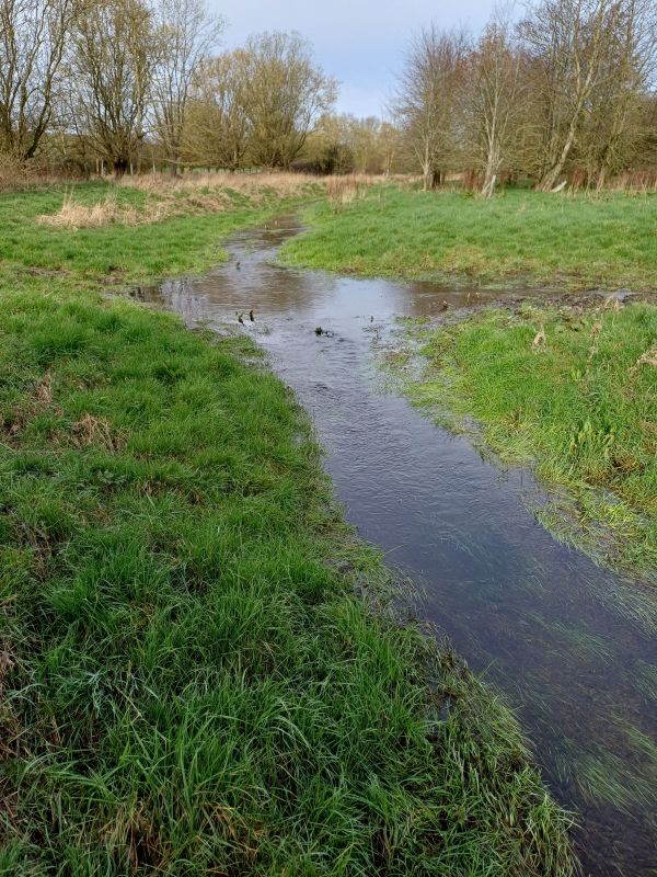
A 5.8 mile linear walk starts in Kemble railway station car park, south west of Cirencester. Immediately on leaving the car park the route joins the Wysis Way across grass meadows, east to meet the Thames and Severn Way, crossing the Thames river on a wooden bridge, but with the river still in its infancy. Proceeding along field paths and tracks, the walk very shortly meets the Thames and Severn Way and progresses north, parallel to the line of the river Thames on the way towards Thames Head and finally the spring, which is the reputed source of the Thames.
As we cross the dis-used, and as yet unrestored Thames and Severn canal, the fortifications of Trewsbury House (site of an Iron Age hill fort) are on our right and the route turns east to follow the Monarchs Way towards Cirencester. Along this route, we pass the grounds and buildings of the Royal Agricultural University before entering Cirencester and passing through the site of the Roman Amphitheatre. From here, we make our way to Market Place via the historic routes of Querns Lane and Cricklade Street. We finish here, facing the imposing Cathedral like edifice of the parish church of St. John.
The walk should finish around 2pm and with the coach will depart promptly at 4:30 - allowing 2-2.5 hours for exploring Cirencester.
There are a number of stiles and two wooden 'ladders', which cross the dry stone walls. The underfoot conditions should be good, mainly dry and with little ascent or descent. There is a mix of grass covered footpaths, farm tracks, urban pavements and a short stretch of walking on pavement alongside the A429 road into Cirencester. An underpass is used to cross the A429.
Please bring your own refreshments and appropriate clothing and footwear.
The booking for this walk will close at 6pm on Thursday 24th July.


.jpg?itok=qSoTycyA)