south west sussex group logo

South West Sussex Group

We are the South West Sussex Ramblers. We open the way for everyone in our local community to enjoy the pleasures of walking.

Email

Join the Ramblers and enjoy

  • unlimited free access to 50,000 Ramblers group walks
  • a library jam-packed with thousands of tried-and-tested routes
  • a welcome pack teeming with top tips plus our Walk magazine
  • exclusive discounts from our partners
  • knowing your support is opening up more places to walk and helping more people discover the joy of walking

Overview

Cissbury to Chanctonbury Rings – Circular Walk

Leaders: Suzanne with Richard as joint leader from Heartsmart - This is a combined Heartsmart and Ramblers walk for those who wish to join us for a weekday rambler.

Duration: 4 hrs. Distance: Approx. 9 miles.

Dogs are welcome, if they are calm with livestock. Dogs will need to be on a lead for the duration of the walk. Please bring poo bags.

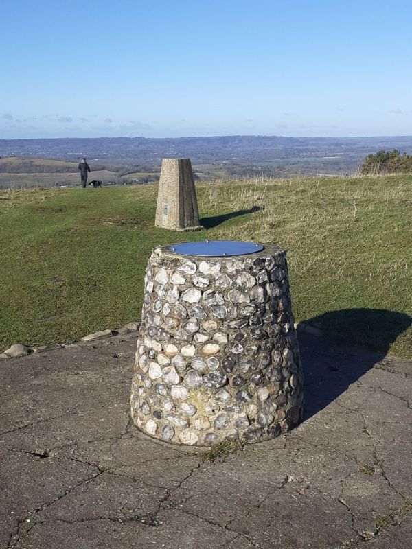
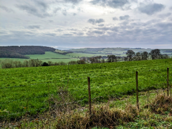
Cissbury Ring is one of the jewels in the crown of the South Downs National Park. It’s the largest hill fort in Sussex and has a history dating back over 4000 years.

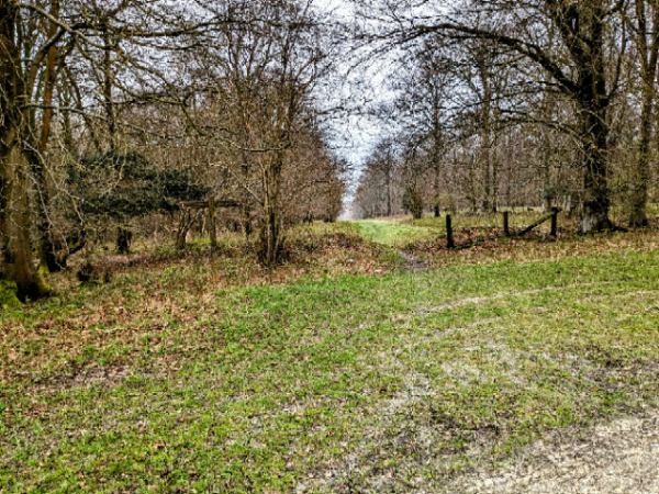
The first part of the walk is on footpaths through fields, a small stretch could be muddy in winter, so sensible shoes required. We will then walk down the path that will lead to Chantonbury Ring, which is one of the most prominent landmarks along the South Downs Way. The ring is an Iron Age hill fort which is best known for the beech trees which dominate the site. The trees were planted in 1760 by Charles Goring, heir to the large Wiston Estate.

From here we then walk through a farm, before reaching Findon. We will then walk a short distance through part of Findon Village, before coming back up to the bottom of Cissbury Ring, where we will have a short linar walk, back to our cars.

Richard and Sue would like to invite you to join them to partake of some refreshments at The Black Horse in Findon village, which is a lovely, welcoming pub after the walk.

Tuesday, 30 September 2025
Start time:
10:30 am
Estimated finish time:
2:30 pm
Difficulty:
Moderate
Distance:
14.5km / 9.0mi
Ascent:
320.3m / 1051ft
Type:
circular

Features

  • Car parking available
  • Car sharing available
  • Dog friendly
  • No Stiles

Starting point

Grid reference:
TQ 12904 07665
Nearest postcode:
BN14 0HT
what3words:
steaming.witless.voted
Start time:
10:30 am

​​​​​​​Meet: Storrington Rise car park By car: This is off the Findon Road (A24) heading south into Findon Valley and Worthing. Turn left at May Tree Avenue and the left into Storrington Rise. The car park is further up the road. It is a good size and there is also plenty of quiet road parking nearby.

Join the Ramblers and enjoy

  • unlimited free access to 50,000 Ramblers group walks
  • a library jam-packed with thousands of tried-and-tested routes
  • a welcome pack teeming with top tips plus our Walk magazine
  • exclusive discounts from our partners
  • knowing your support is opening up more places to walk and helping more people discover the joy of walking