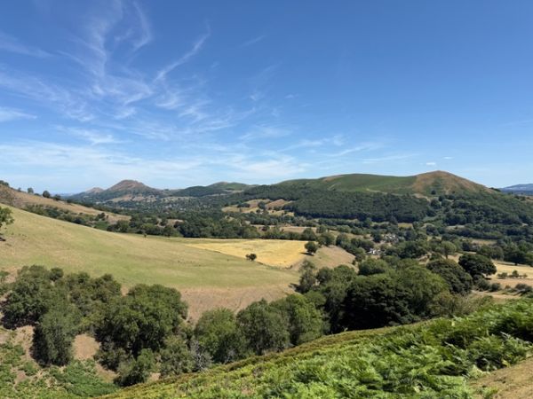
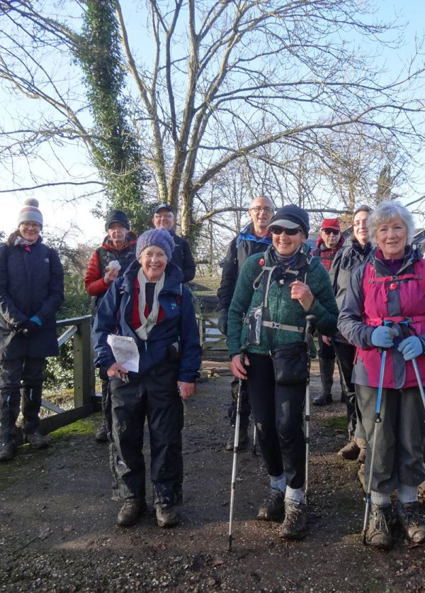
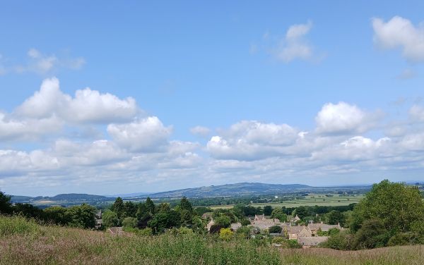
C WALK DESCRIPTION: 7.2 miles, undulating, 250 ft ascent over 0.7 mile, followed by 330 ft ascent over 1.9 miles; 1000 ft total ascent. Leader Eva Hyde. Starting by the swimming pool in Great Malvern (347 ft) we go through part of the town and by the railway line for 0.6 mile before arriving at the open area of Malvern Common. We continue southwards next to a dismantled railway line to the lowest point (221 ft, 1.8 miles) and then across fields, with good views of the Malvern Hills. At about 2.9 miles (264 ft) we begin a steady ascent, first by a field, then a wooded track to some houses, until we cross the A449 at the side of Black Hill (3.6 miles, 510 ft). This is the steepest part of the route. From here, we proceed more gently upwards on a wooded road at the side of the Malvern Hills to the Holy Well, (4.4 miles, 673 ft) where Malvern spring water was bottled. The waters were reputed to have beneficial qualities, due to their purity, leading to Malvern becoming a spa. We continue along a wooded path, at the side of Perseverance Hill, with views of the town and fields below, reaching Upper Wyche and the Wyche Inn pub, listed in the good beer guide since 2011. This is the highest point of the walk at 846 ft and 5.3 miles. We descend slightly (60 ft over 0.3 mile) along a B road and then continue on paths by the side of the Malvern Hills, regaining some of our height then going down by the hills and through the Rose Bank gardens to Great Malvern Priory. This was once a Benedictine monastery and has a large collection of 15th century stained glass and medieval floor and wall tiles. A path through the Priory Park takes us back to the coach.
BOOKING ESSENTIAL, please use the link above for our booking page. Coach fare £20, payable cash/cheque or in advance by bank transfer.