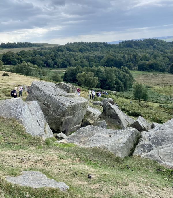
Area long walk.
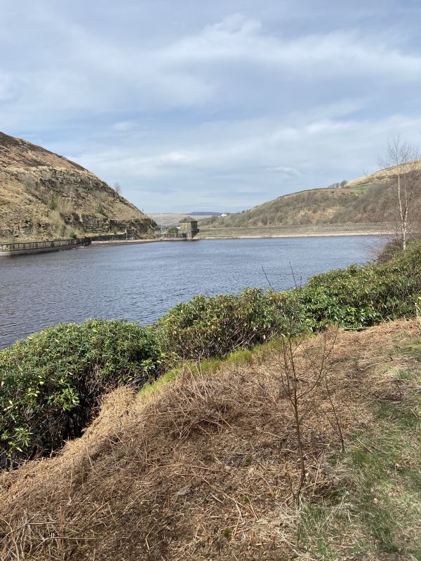
Leaving the station we climb using using track and road to pass the front of Dobroyd Castle before swinging around over track and field to reach Parkin Lane. We continue along the road until we reach the track that becomes Flower Scar Road - apart from the section this is a good stone surface. We eventually reach the Bacup Rd to start our return journey. For z few hundred yards we're on a moderately busy road, but there a good grass verge to walk along. We soon hit a farm track that becomes Limer's Way. As we reach a point level with Counting Hill the fun begins: we now head over the moorland using what few stakes (and GPS) to navigate - there's very little evidence of any paths. We're heading down to pass above Gorpley Reservoir before we reach Gorpley and follow a track down through the woods to reach Bacup Rd (again). There's a good pathway, but we're only walking a couple of hundred yards before we cross and head up into Stones Wood. A nice track leads us through to the outskirts of Gauxholme where we pick up the canal to return to the station. I had no views to speak of as, on both recce's, I was walking in fog or low cloud! It's 9 miles, 3 stiles all in good condition and simple.
No booking required, although we do ask that everyone carries an ICE card - we can supply if needed.
The walks will invariably involve ascent and descent, some of which may be steep. They will usually, depending on the weather, be soft and/or muddy, sometimes with ill defined tracks across fields or moorland - ensure you have appropriate footwear. Please consider your personal fitness and ability before attending the walk - if you're not sure, feel free to contact us for advice on the potential conditions, whilst the leader will base the walk on their own ability and may issue instructions where appropriate, you are ultimately responsible for your own safety. Please wear appropriate clothing for the prevailing weather, plan for the worst and hope for the best, bring any essentials and lunch.