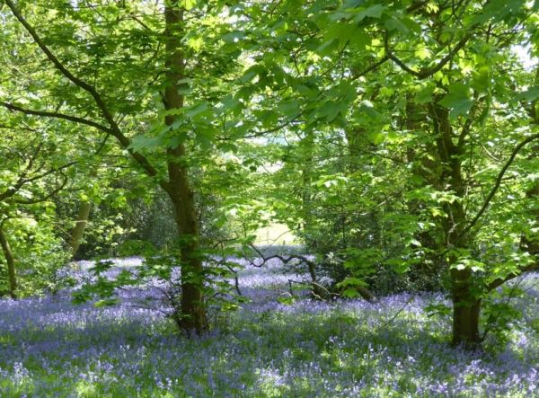
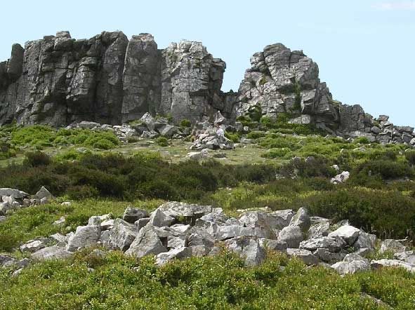
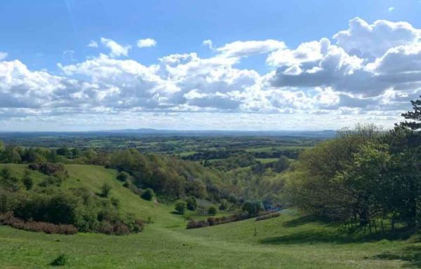
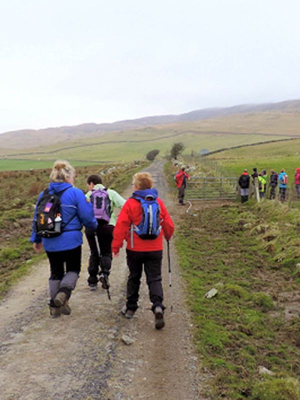
A WALK DESCRIPTION: Leader: Peter Searle. 11.6 miles, 1950 ft total ascent. The “A” walk begins in Minsterley, crossing a housing estate then a meadow, soon entering woodland and passing the earthworks of an iron age hill fort on Callow Hill. The route continues around Poles Coppice nature reserve, turning south across fields with views east to Earl’s Hill. The path climbs steadily through Maddox’s Coppice, eventually opening out with views west, over the old lead mines of Snailbeach. After a short section of downhill track, the steady climb resumes, now across open heathland in the Stiperstones National Nature Reserve, eventually to reach the main ridge with its distinctive jagged outcrops of quartzite and extensive views. At 536m above sea level, this is only 4m lower than Brown Clee Hill, the highest in Shropshire. NOTE, much of the path along the top of the Stiperstones ridge is made up of angular blocks of quartzite which does not make for easy walking; robust footwear with good ankle support is recommended. From Cranberry Rock at the south end of the ridge we will take a minor path SW, then turn northwards along Black Ditch then along a path which descends, steeply at times, eventually reaching Stiperstones village (and pub). From here we take a woodland path which contours around Oak Hill to Crowsnest, then along the lane to Snailbeach, where we pass remains of the old lead mines and Snailbeach Coppice, before descending a track and lane to the waiting coach at Ploxgreen. The fare is £15.