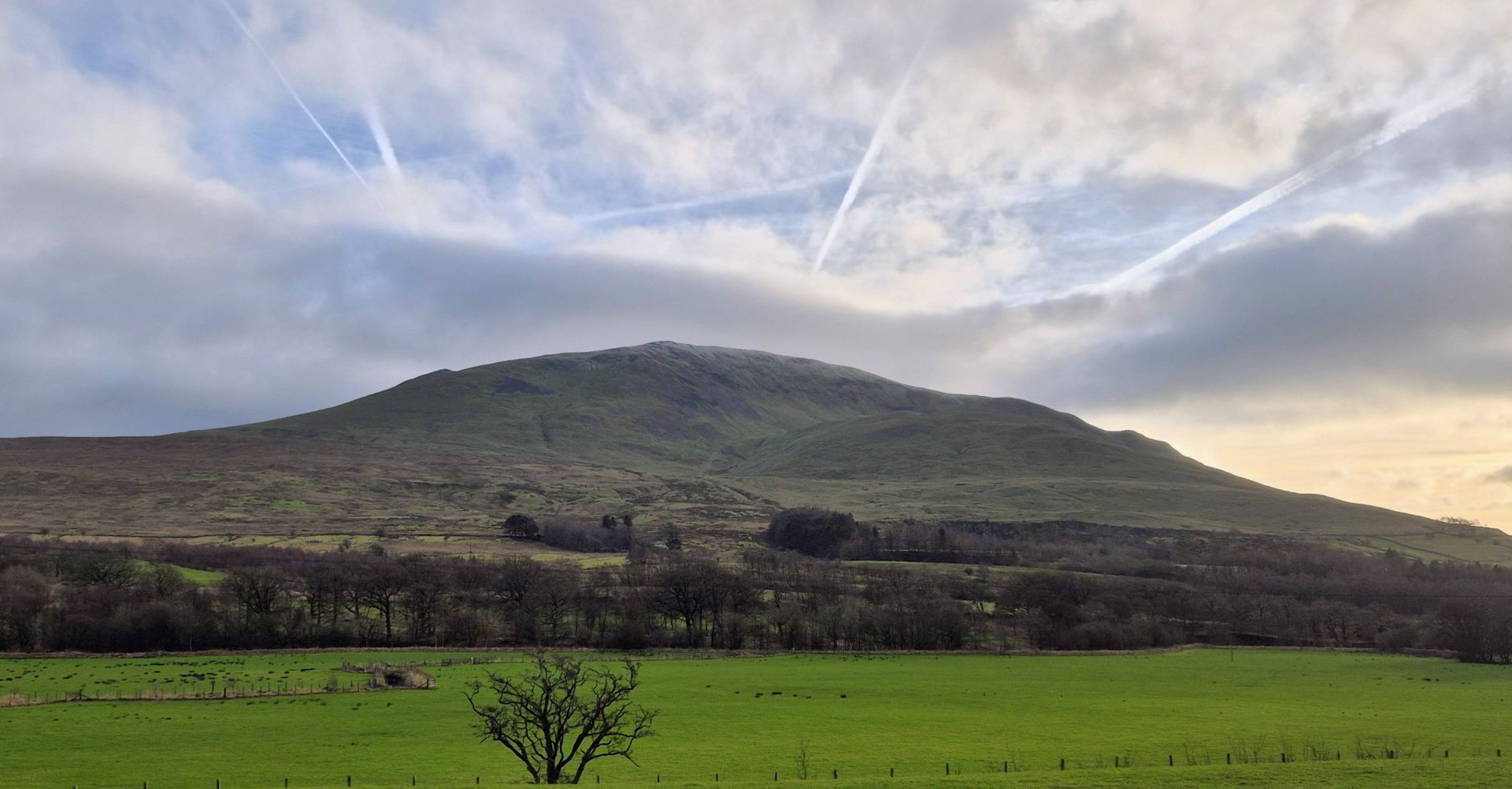
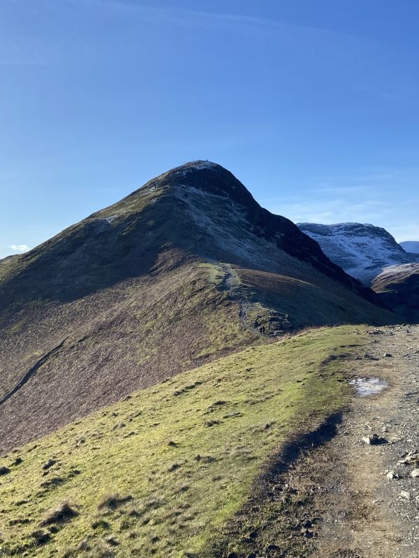
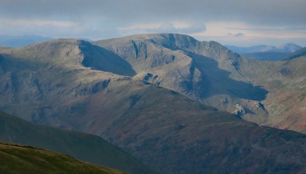
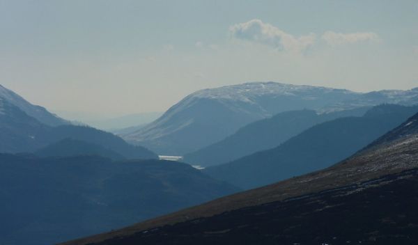
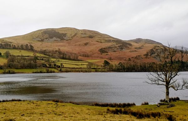
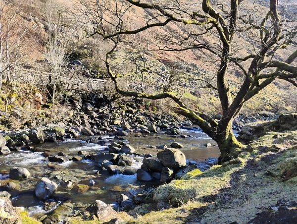
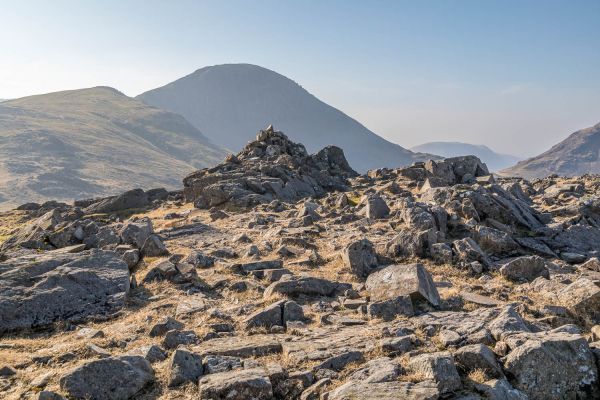
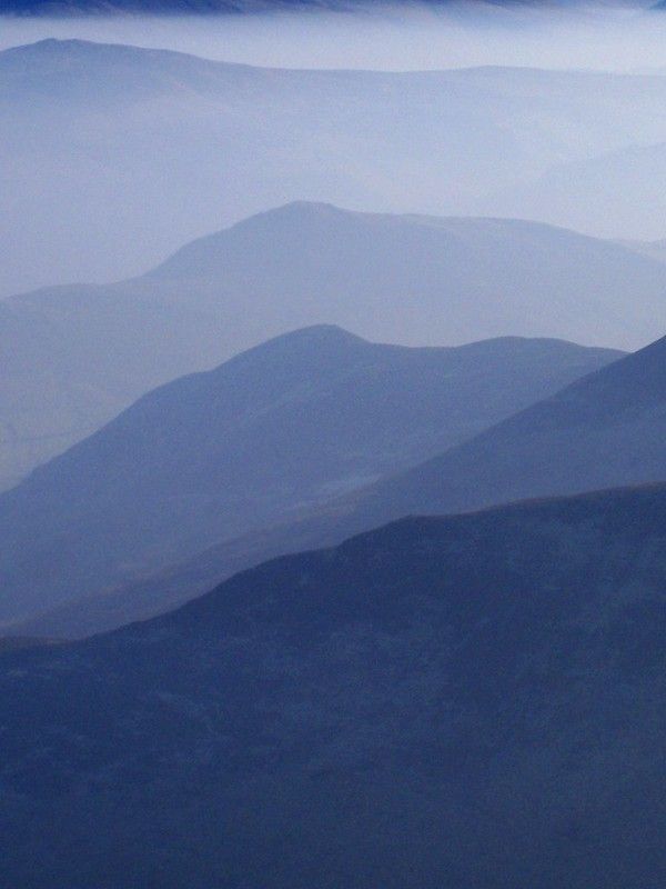
Our walk starts by heading towards Threlkeld Hall before turning to follow River Glenderamakin until reaching Mill Bridge. After crossing the bridge our route rises steadily on a permissive road to Newsham. From here we cross rough pasture, which can be very wet and boggy, leading to a stony shelf , the site of an ancient British settlement. We then follow tracks around some disused quarries before starting our steady climb up Wanthwaite Bank. This path passes Threlkeld Knotts before arriving at the foot of Red Screes. Although a cairned path, great care is needed, as this path is narrow and rocky, diagonally traversing the scree. We then turn north east onto a grassy track taking us to the Ordnance Survey pillar, marking the summit of Clough Head. Should the weather allow this is an excellent view point of Blencathra and the central fells, we may even get a sneaky glimpse of Morecambe Bay and the Solway Firth.
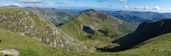
Continuing on the grassy path in a north easterly direction we reach the lesser summit of White Pike, but none the less providing another scenic view point. From here we start our descent onto the Old Coach Road, which we follow until turning northerly to cross more boggy ground to meet our out going path back to Newsham. We then follow the road crossing the disused railway line and river back to Threlkeld.
I have listed this walk as strenuous, but time has been allowed to walk it at a moderate speed . There are some steep sections over difficult ground where walking poles will be helpful.
In addition as this is a winter walk having micro spikes with you is recommended as conditions can become icy as we climb.