City of Birmingham group logo.

City of Birmingham Group

We are the City of Birmingham Ramblers. We open the way for everyone in our local community to enjoy the pleasures of walking.

Get in touch about this walk

Birmingham Ramblers Enquiries

Email

Join the Ramblers and enjoy

  • unlimited free access to 50,000 Ramblers group walks
  • a library jam-packed with thousands of tried-and-tested routes
  • a welcome pack teeming with top tips plus our Walk magazine
  • exclusive discounts from our partners
  • knowing your support is opening up more places to walk and helping more people discover the joy of walking
1 of 0

Overview

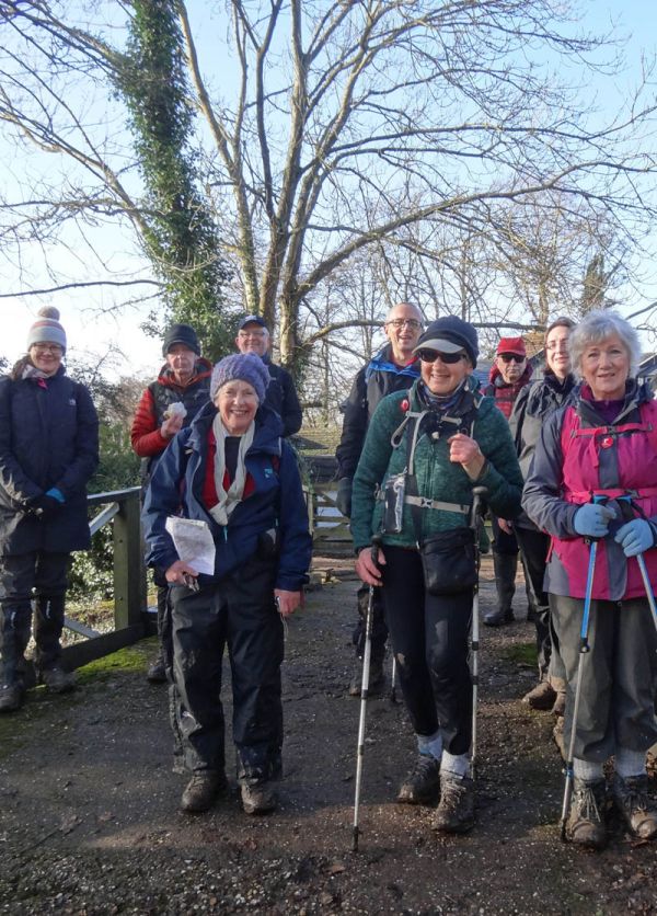
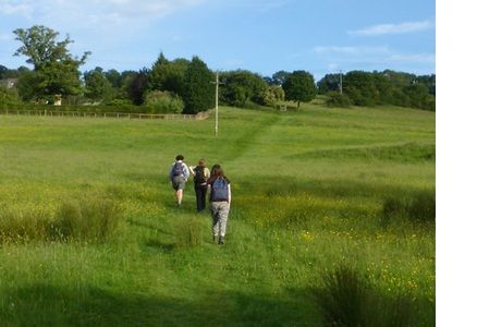
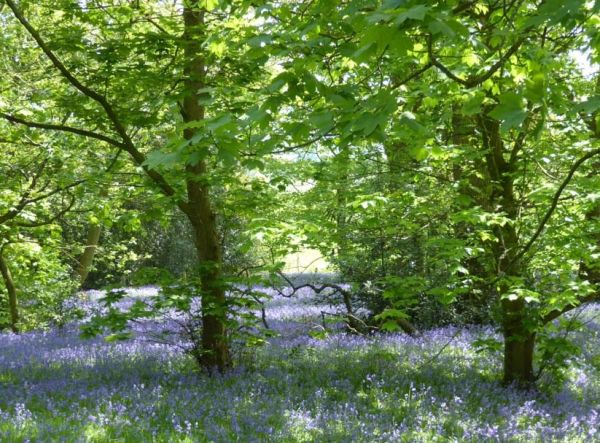
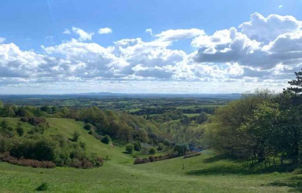
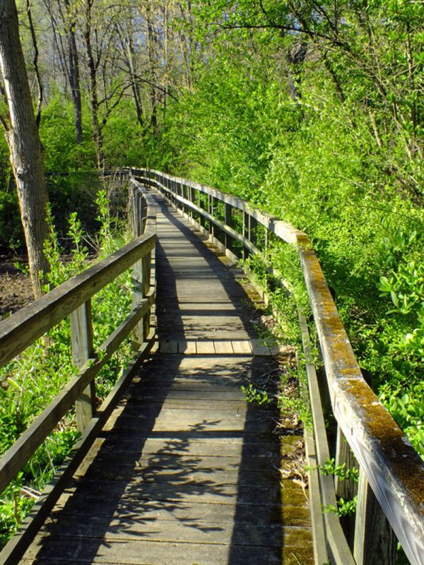
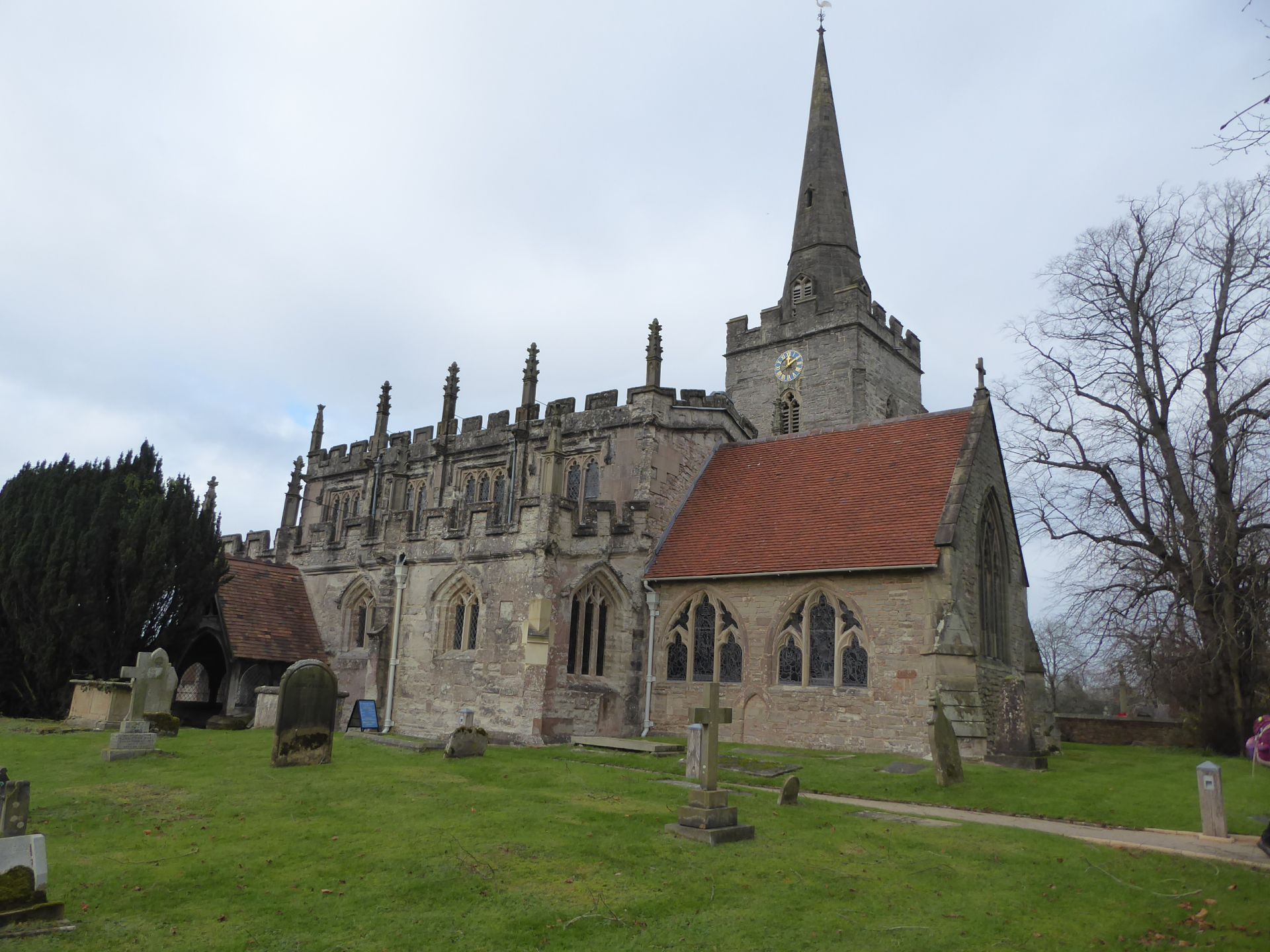
 A WALK DESCRIPTION. This circular walk starts through Dorridge Park then follows a board walk through woodland. Once out of the park our route continues generally south on field paths and through further strips of woodland, with a few short sections of road, skirting the edge of Hockley Heath then crossing the Stratford Upon Avon Canal by Drawbridge Farm. We continue through more fields to St Mary the Virgin church at Lapworth. This grade 1 listed building began life in 12th century, with a separate tower added in 14th Century. The churchyard is noted for its snowdrops early in the year. Leaving the church via field paths and a cricket ground we join the Stratford canal and walk on the tow path beside a flight of locks to our lunch stop by the canal basin at Kingswood. We will then follow a byway south for about 1 km before turning left to rejoin the Stratford canal, which we follow back to the canal basin. From here we have about a mile of road walking, before turning west along an avenue track to Packwood House, a National Trust property. After some further lane walking we divert to pass the historic church of St Giles by Packwood Hall, then follow a lane back to Dorridge Park and the station. Depending on time, refreshment options at the Boot Inn at Kingswood, the National Trust Café at Packwood House or the Railway Inn at Dorridge. 11 miles, little obvious climbing (only 440 ft total ascent). Leader: Peter Searle.

Sunday, 11 January 2026
Start time:
9:00 am
Estimated finish time:
4:30 pm
Difficulty:
Strenuous
Distance:
17.7km / 11.0mi
Ascent:
134.1m / 440ft
Type:
circular

BOOKING ESSENTIAL, please use the link above for our booking page.

Features

  • Accessible by public transport
  • Car parking available
  • No car needed

Starting point

Grid reference:
SP 07425 86757
Nearest postcode:
B4 7UL
what3words:
proud.line.hurt
Start time:
9:00 am

JOINING INSTRUCTIONS: Public transport: Meet at Moor Street Station at 9.00 am to catch 9.11 am train to Dorridge (this is a Chiltern line train to Marylebone with one stop-Solihull). Arrive at Dorridge Station 9.26 am. If you wish to catch a train along the route please catch the previous train that leaves Moor Street at 9.00 am. Return fare £6.80. For Centro pass holders the journey is free. Travel by car: There is a free car park at Dorridge station. Address: Station Approach, Dorridge, Solihull, B93 8JA. Open 24 hours. Please be ready at the station entrance to start the walk at 9.35 am. There are toilets on platform 1 at the station.

Join the Ramblers and enjoy

  • unlimited free access to 50,000 Ramblers group walks
  • a library jam-packed with thousands of tried-and-tested routes
  • a welcome pack teeming with top tips plus our Walk magazine
  • exclusive discounts from our partners
  • knowing your support is opening up more places to walk and helping more people discover the joy of walking